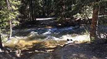
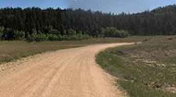
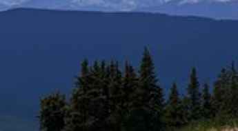
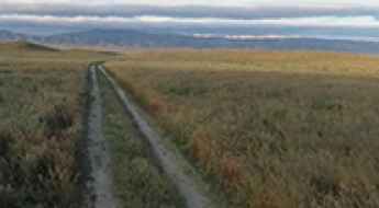
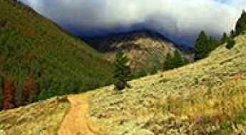
What are the most spectacular roads in the USA?
Located in North America, the USA is a true paradise for drivers, as it hosts more than 2,000 roads listed as the most spectacular in the world.
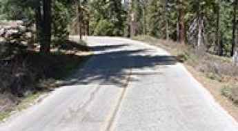
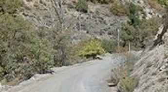
Featuring mountains, deserts, coasts, and snow, in the USA you’ll get your dream road. And you’ll never want to wake up. For instance, at the top of your list, you need to drive the Million Dollar Highway, the most beautiful road in America, and probably in the world. Built in the late 1880s, you'll be on the "outside" for a while with a hell of a view to your right (let the passenger enjoy the view; you'll want to watch the road). Another paved option must be the Iron Mountain Road, featuring 17 miles, 314 curves, 14 switchbacks, 3 pigtails, and 3 tunnels in the Black Hills of South Dakota. No list would be complete without the winding Tail of the Dragon: 318 curves in 11 miles. Spanning Tennessee and North Carolina, it is one of the most scenic drives in the USA. You also can’t skip driving Mount Evans Scenic Byway, the highest paved road in North America, climbing up to 4,310m (14,130ft) in Colorado. It is said to be the highest paved road in North America.
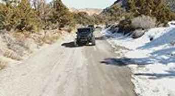
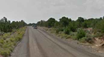
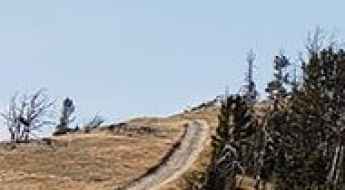
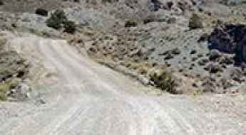
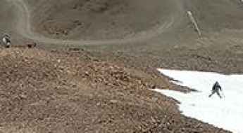
For those who prefer unpaved experiences, the country hosts some of the most defiant yet scenic roads in the world. You can’t miss Black Bear Pass, a high mountain adventure in the Colorado Rockies. Climbing up to 3,915m (12,844ft) above sea level, it's one of the highest roads in Colorado. You can also discover the beauty of Engineer Pass, a mountain pass at an elevation of 3,901m (12,800ft) above sea level in Colorado. It’s mostly a first-gear ride because the road is rough and rocky. The legendary Shafer Trail Road in Utah's Canyonlands National Park is an iconic drive located on the east-central edge of Utah. At times, the road is so narrow that only one car can pass. And Lippincott Mine Road in California is for experienced 4WD drivers using high-clearance vehicles only. You'll need a good map, as the routes are not marked and there are no signs. It’s one of the challenging backcountry roads in Death Valley National Park.
Mount Mellenthin
Mount Mellenthin is a high mountain pass at an elevation of 3.262m (10,702ft) above the sea level, located in San Juan County, in the southeastern part of Utah, United States. It’sone of the highest mountain roads of Utah.
Driving the rugged unpaved road to West Peak in Arizona
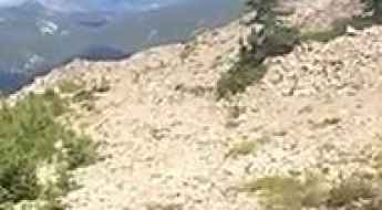
West Peak is a high-altitude summit standing at 2,630 meters above sea level in Graham County, Arizona. Located in the Pinaleño Mountains, just west of the famous Mount Graham, the road to this peak is a grueling test of endurance for any 4x4 vehicle. This is a world of extreme elevation shifts, where you transition from the desert floor to a high-alpine environment. Driving here means tackling a long, unpaved track that is often narrowed by erosion and littered with rocks that will test your suspension and your patience for nearly 25 miles.

Safety Tips for Driving in Rainy Weather
Rain is one of the most common yet underestimated hazards on the road. It doesn't just reduce visibility; it fundamentally alters the chemical relationship between your tires and the asphalt. When water mixes with accumulated oil, dust, and debris, it creates a lubricated film that can reduce grip by more than 50%. Navigating rainy conditions safely requires more than just turning on your wipers; it demands a technical understanding of traction limits and hydroplaning risks.
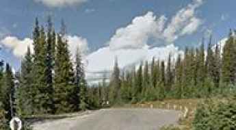
Adventure along Forest Road 230
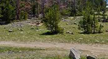
Forest Road 230 is a short mountain road located in Chaffee County, in the US state of Colorado.
Driving the steep Forest Road 4793 to Cinnamon Butte in Oregon
Cinnamon Butte is a basaltic scoria cone reaching an elevation of 1,958 meters (6,423 ft) above sea level, located in Douglas County, Oregon. Tucked away in the Umpqua National Forest within the Cascade Range, the summit has hosted an active lookout tower since 1955. Accessing this peak requires driving the Forest Road 4793, a route that starts as standard gravel but quickly transitions into a technical, unpaved climb where the physical reality of the terrain—marked by volcanic soil and steep, unprotected ledges—requires a high-clearance vehicle and precise throttle control.
Travelling through the Forest Road 306
Forest Road 306 is a high mountain road located in Fremont County, in the U.S. state of Wyoming.
Schellbourne Pass
Schellbourne Pass is a high mountain pass at an elevation of 2.317m (7,601ft) above the sea level, located in northern White Pine County, in northeastern Nevada in the western United States.
Lightning Peak
Lightning Peak is a high mountain peak at an elevation of 2.553m (8,375ft) above the sea level located in the Salmon River Mountains, in Idaho, USA.
Road to Beaver Mountain: A 4x4 Track in Dolores County
Beaver Mountain is a mountain peak at an elevation of 2,837 meters (9,307 ft) above sea level, located in Dolores County, in the southwestern corner of Colorado, USA. Tucked inside the San Juan National Forest, the route leading up the mountain is an unmaintained single-lane dirt track packed with soft clay soil, deep ruts, and sharp fallen timber hazards.
Mount Elbert
Mount Elbert is a high mountain peak at an elevation of 3.504m (11,496ft) above the sea level, located in Lake County, in the U.S. state of Colorado.
Dead Horse Lake
Dead Horse Lake is a high mountain sub-alpine lake at an elevation of 3.373m (11,066ft) above the sea level, located in Wayne County, in south-central Utah, in USA. Altitude and extreme weather is always a factor at any time of year. It’s one of the highest roads of Utah.
Trail Ridge
Trail Ridge is a high mountain peak at an elevation of 3.210m (10,531ft) above the sea level, located in Sanpete County, in the U.S. state of Utah. It’s one of the highest mountain roads of Utah.
Alunite Ridge
Alunite Ridge is a high mountain peak at an elevation of 3.461m (11,354ft) above the sea level located in the Piute County, in Utah, USA. It’s one of the highest mountain roads in Utah.
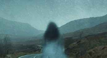
What Is The Most Haunted Road In America?
From California all the way to New York, the USA is known for having a wide array of haunted roads: miles-long stretches of road, short alleyways, and interstate highways.
A memorable road trip to Potosi Pass in NV
Potosi Pass is a high mountain pass at an elevation of 1.905m (6,250ft) above the sea level, located in Clark County, in the U.S. state of Nevada.
How To Travel The Wolverton Road
Wolverton Road is a paved narrow high mountain road located in Tulare County, in the U.S. state of California.

How to Budget for a Long-Distance US Road Trip
Planning a journey across iconic routes like the Million Dollar Highway or the Pacific Coast Highway requires more than just a sense of adventure; it requires a strategic financial plan. From fuel consumption on steep gradients to backcountry permits and vehicle wear, the costs of an expedition can escalate quickly. Understanding how to manage your logistics and financing is essential for a stress-free journey through America’s most demanding landscapes.

Beyond the Asphalt: Essential Survival Gear for Incursions off US Roads
For the expeditionary driver, the road is often only the beginning. Reaching the most remote geographical coordinates in the United States frequently requires transitioning from vehicle-based transit to foot-based incursions. Whether navigating the dense forests of the Pacific Northwest or the arid canyons of the Southwest, being stranded or choosing to explore off-track demands a disciplined approach to gear. Preparing for a "worst-case scenario" is not a suggestion; it is a mandatory protocol for those operating far from the safety of the main roads.
How To Travel The Dave Wood Road of Colorado
Dave Wood Road is a very scenic road located on the gentle slopes of the Uncompahgre Plateau, in the western part of the US state of Colorado.

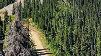
Top 8 Tips for Mountain Bike Riding in the USA
Mountain biking in the high-altitude terrains of the USA is a test of both mechanical reliability and physical endurance. Unlike urban cycling, alpine trails demand a rigorous approach to logistics, as a minor mechanical failure or a sudden change in weather can leave a rider stranded in high-risk zones. To navigate these routes safely, preparation must move beyond basic gear and focus on the technical realities of backcountry survival and equipment integrity.
Dry Park tower
Dry Park is a high mountain lookout tower at an elevation of 2.655m (8,710ft) above the sea level, located in Coconino County, in the U.S. state of Arizona.
Dare to drive the dangerous Calico Peak
Calico Peak is a mountain peak at an elevation of 1.385m (4,543ft) above the sea level, located in San Bernardino County, in the southern portion of the U.S. state of California. 4x4 and high clearance is a must. Never attempt alone. You cannot turn around and go back in the most difficult spots.
Granite Butte
Granite Butte is a high mountain peak at an elevation of 2.318m (7,604ft) above the sea level, located in Lewis and Clark County, Montana, in USA.
Red Rock Peak: Driving the 70km remote track to the Yellowjacket Country
Reaching an elevation of 2,485m (8,152ft) above sea level, Red Rock Peak is a high mountain summit located in Lemhi County, Idaho. Situated in the isolated heart of the Yellowjacket Country, this peak is a legendary point of interest for off-roaders and history buffs, offering a vantage point that was once the primary eyes of the forest service over the Fourth of July Creek drainage.
Jackal Hut
Jackal Hut is a high mountain refuge at an elevation of 3.557m (11,669ft), located in Eagle County, in central Colorado, United States.
Mountain Grassy
Mountain Grassy is a high mountain peak at an elevation of 2.952m (9,685ft) above the sea level, located in Socorro County, New Mexico, in USA.
How to drive the unpaved road to Eiseman Hut in Colorado?
Eiseman Hut is a high mountain refuge at an elevation of 3.424m (11,233ft) above sea level, located in Eagle County, in the US state of Colorado.

Exploring the Statistics Behind Motorcycle Crashes in the United States
Riding a motorcycle offers unparalleled freedom and mechanical connection to the road, but it comes with a significantly higher risk profile than any other form of motor vehicle transport. Without the structural protection of a vehicle frame, riders are directly exposed to impact forces. Analyzing the statistical patterns of crashes is essential for developing better defensive driving strategies on both urban and remote routes.
Travel guide to the top of Lunch Peak in ID
Lunch Peak is a high mountain peak at an elevation of 1.956m (6,417ft) above the sea level, located in Bonner County, in the northern part of the U.S. state of Idaho.
How to get by car to South Twin Lake in Wyoming?
South Twin Lake is a high mountain lake at an elevation of 3,149m (10,331ft) above sea level, located in Carbon County, in the U.S. state of Wyoming. It’s known for its rugged road, which leads to one of the highest accessible points in Wyoming.
Oscura Peak
Oscura Peak is a high mountain peak at an elevation of 2.630m (8,628ft) above the sea level, located in Socorro County, in the U.S. state of New Mexico.
How to drive the paved road to Rainbow Point in Utah?
Rainbow Point is a scenic overlook at an elevation of 2.781m (9,124ft) above sea level, located in the US state of Utah.

How to road trip with your dog in the USA?
Integrating a canine partner into a long-range American road trip is a complex logistical challenge that extends beyond simple pet care. Navigating high-consequence roads—where distances between service nodes are vast and environmental conditions are extreme—requires a strategic approach to animal safety, thermal regulation, and kinetic security. For the expeditionary driver, preparing a vehicle for K9 transport is a mandatory part of mission planning to ensure both human focus and animal welfare during high-stress transits.
Utah's Hidden Gem: Lake Creek Road – An Unforgettable High Altitude Drive Experience
Lake Creek Road is a high mountain road located in Beaver County, in the US state of Utah. It’s one of the highest roads of Utah.
How to get by car to the San Andreas Fault?
The San Andreas Fault, a geological marvel dividing California, offers unique insights into Earth's dynamics. Comprising the Southern, Central, and North segments, it beckons adventurers to witness its influence on the landscape.
Charnock Pass
Charnock pass is a high mountain pass at an elevation of 2.556m (8,385ft) above the sea level, located in Nye County, in the U.S. state of Nevada.
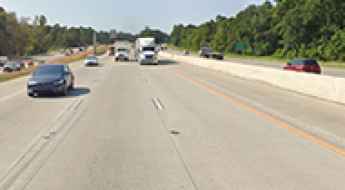
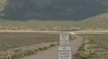
The Most Dangerous Road in Texas – Interstate 45
Not only is Interstate 45 widely considered the most dangerous road in Texas, but it may even be the deadliest highway in the entire nation. Some claim that I-45 is more hazardous than any other stretch of asphalt in North America — even more dangerous than the icy roads of Canada’s Northwest Territories.
Rim Lake
Rim Lake is a high mountain sub-alpine lake at an elevation of 3.324m (10,905ft) above the sea level, located in Wayne County, in south-central Utah, in USA. Altitude and extreme weather is always a factor at any time of year. It’s one of the highest roads of Utah.
Mount Jefferson
Mount Jefferson is a high mountain pass at an elevation of 2.890m (9,481ft) above the sea level, located in Madison County, in the U.S. state of Montana.
Red Mountain
Red Mountain is a high mountain peak at an elevation of 2.962m (9,717ft) above the sea level, located in Silver Bow County, Montana, in USA.
Bishop Mountain
Bishop Mountain is a high mountain peak at an elevation of 2.385m (7,824ft) above the sea level, located in Fremont County, Idaho, in USA.
Red Mountain: The steep high-altitude road via Peek-A-Boo Gulch
Red Mountain is a high mountain peak at an elevation of 3,869m (12,693ft) above sea level, located in Chaffee County, in the US state of Colorado. Located in the Sawatch Range, the road to the summit follows the old Peek-A-Boo Gulch mining track, ranking among the highest roads in Colorado.
Baxter Peak, a road for experienced drivers
Baxter Peak is a high mountain pass at an elevation of 3.350m (10,990ft) above the sea level, located in Garfield County, in the U.S. state of Colorado.
White Pine Peak
White Pine Peak is a high mountain peak at an elevation of 3.116m (10,223ft) above the sea level, located in Millard County, in the U.S. state of Utah.
How to get by car to Quealy Lake in Wyoming?
Quealy Lake is a high mountain lake at an elevation of 3,185m (10,449ft) above sea level, located in Carbon County, in the U.S. state of Wyoming. It’s one of the highest roads in Wyoming.
Ward Peak
Ward Peak is a high mountain peak at an elevation of 2.589m (8,494ft) above the sea level, located in Placer County, California. Views from the summit are pretty spectacular.
Marcellina Pass
Marcellina Pass is a high mountain pass at an elevation of 3.153m (10,343ft) above the sea level located in the Gunnison County, in Colorado, USA.
The breathtaking road to Teton Peak in Wyoming
Teton Peak is a high mountain peak at an elevation of 2,643m (8,671ft) above sea level, located in Teton County, in the US state of Wyoming. Situated at the southern tip of the world-famous Teton Range, the peak offers one of the most strategic vantage points over the Jackson Hole valley and the nearby Idaho border.