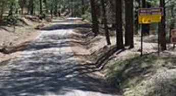
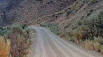
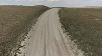
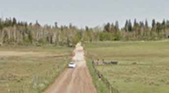
What are the most spectacular roads in the USA?
Located in North America, the USA is a true paradise for drivers, as it hosts more than 2,000 roads listed as the most spectacular in the world.
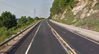
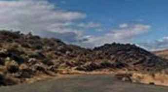
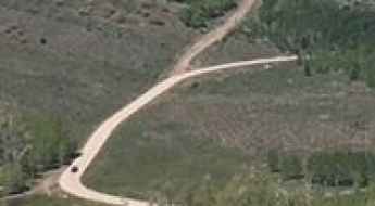
Featuring mountains, deserts, coasts, and snow, in the USA you’ll get your dream road. And you’ll never want to wake up. For instance, at the top of your list, you need to drive the Million Dollar Highway, the most beautiful road in America, and probably in the world. Built in the late 1880s, you'll be on the "outside" for a while with a hell of a view to your right (let the passenger enjoy the view; you'll want to watch the road). Another paved option must be the Iron Mountain Road, featuring 17 miles, 314 curves, 14 switchbacks, 3 pigtails, and 3 tunnels in the Black Hills of South Dakota. No list would be complete without the winding Tail of the Dragon: 318 curves in 11 miles. Spanning Tennessee and North Carolina, it is one of the most scenic drives in the USA. You also can’t skip driving Mount Evans Scenic Byway, the highest paved road in North America, climbing up to 4,310m (14,130ft) in Colorado. It is said to be the highest paved road in North America.
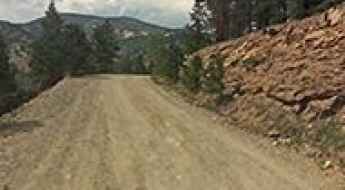
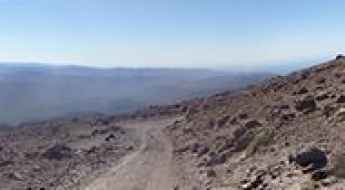
For those who prefer unpaved experiences, the country hosts some of the most defiant yet scenic roads in the world. You can’t miss Black Bear Pass, a high mountain adventure in the Colorado Rockies. Climbing up to 3,915m (12,844ft) above sea level, it's one of the highest roads in Colorado. You can also discover the beauty of Engineer Pass, a mountain pass at an elevation of 3,901m (12,800ft) above sea level in Colorado. It’s mostly a first-gear ride because the road is rough and rocky. The legendary Shafer Trail Road in Utah's Canyonlands National Park is an iconic drive located on the east-central edge of Utah. At times, the road is so narrow that only one car can pass. And Lippincott Mine Road in California is for experienced 4WD drivers using high-clearance vehicles only. You'll need a good map, as the routes are not marked and there are no signs. It’s one of the challenging backcountry roads in Death Valley National Park.
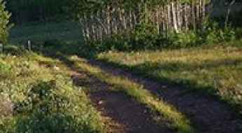
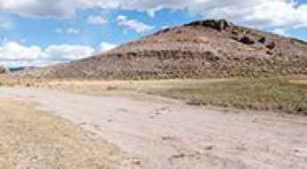
Signal Peak: Ultimate 4wd destination in NM
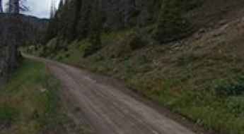
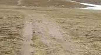
Signal Peak is a high mountain peak at an elevation of 2.744m (9,002ft) above the sea level, located in Grant County in the U.S. state of New Mexico.
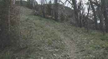
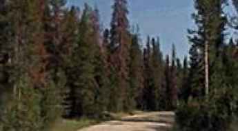
Travel guide to Hunt Mountain, in the Big Horn Range
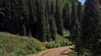
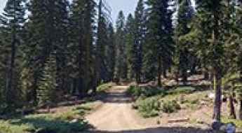
Hunt Mountain is a high mountain pass at an elevation of 3.062m (10,045ft) above sea level, located in Big Horn County, in the U.S. state of Wyoming.
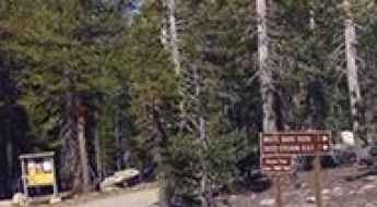
How to drive the unpaved road to Monumental Summit in Idaho?
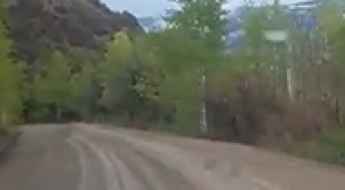
Monumental Summit is a high mountain pass at an elevation of 2.628m (8,622ft) above sea level located in Valley County, in the U.S. state of Idaho.
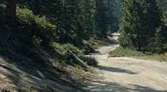
How to drive the unpaved road to the lookout at Whitehawk Mountain in Idaho?
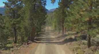
Whitehawk Mountain is a high mountain peak at an elevation of 2.553m (8,375ft) above sea level located in Valley County, in the U.S. state of Idaho.
Is the Great River Road Great Because of the River or Because of the Road?
The Great River Road follows the Mississippi River generally from New Orleans to Minnesota. For long stretches, the road is a wonderful panoply of river, bluffs, and picturesque small towns. For other long stretches, the road is too far from the river for travelers to see the river and the towns are less than picturesque.
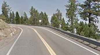
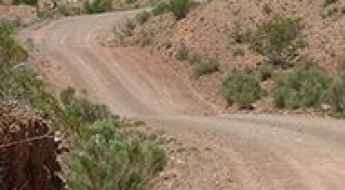
What are the Most Scenic Roads In Nevada?
The geography of Nevada is defined by a rhythmic succession of linear mountain ranges separated by wide, arid basins. Beyond the high-density illumination of the Las Vegas strip, the state’s road network traverses some of the most geologically volatile and isolated terrain in North America. Navigating these roads requires a strategic approach to logistics—specifically fuel management and thermal regulation—as many corridors cross high-altitude passes and vast alkali flats with zero service availability.
Silver Pass
Silver Pass is a high mountain pass at an elevation of 3.004m (9,855ft) above the sea level, located in La Plata County, in the U.S. state of Colorado.
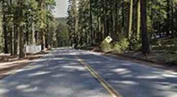
An Unforgettable Drive to Blewett Pass in WA
Blewett Pass is a high mountain pass at an elevation of 1.254m (4,114ft) above the sea level, located on the boundary of Kittitas and Chelan counties, in the U.S. state of Washington.
Alberta Park Reservoir
Located in Mineral County, in the U.S. state of Colorado, Alberta Park Reservoir sits at an elevation of 3.127m (10,259ft) above the sea level.
Can I drive to Belleview Mountain in Colorado?
Belleview Mountain is a high mountain peak at an elevation of 2.951m (9,681ft) above sea level, located in Clear Creek County, in the U.S. state of Colorado.
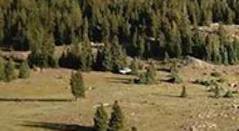
Trappers Lake
Trappers Lake is a high mountain lake at an elevation of 2.987m (9,799ft) above the sea level, located in Garfield County, in northwest Colorado, USA.

Surprising Things That Can Cause A Dangerous Accident or Breakdown in the USA
While most drivers on America’s roads focus on hazards like speeding or distracted driving, the NHTSA (National Highway Transportation Safety Administration) suggests that up to 96% of accidents could be avoided by addressing less obvious factors. From the backroads of Maine to the highways of Ohio, some of the most dangerous threats are also the most surprising.
Snowshoe Mountain
Snowshoe Mountain is a high mountain pass at an elevation of 3.494m (11,463ft) above the sea level located in Routt County, Colorado, In USA.

How To Prepare For Your First Challenging Hike in the USA
Transitioning from vehicular transit to on-foot exploration in the American wilderness involves a significant escalation in risk management. Many of the most dangerous roads in the U.S. serve as the only access points to high-altitude, technical trails where atmospheric volatility and topographical isolation are constant factors. For the expeditionary traveler, preparing for a challenging trek requires more than physical fitness; it demands a disciplined approach to gear redundancy, thermal management, and search-and-rescue (SAR) protocols.
Herd Lake Road
Herd Lake Road is a high mountain road located in Custer County, Idaho, United States, climbing up to 2.778m (9,114ft) above the sea level. It’s one of the highest roads of Idaho.
Forest Road 162
Us Forest Service Road 162 is a very challenging high mountain road located in Garfield County, in south-central Utah, in USA. It’s one of the highest roads of Utah running entirely over 3.000m above the sea level.
North Creek Pass
North Creek Pass is a high mountain pass at an elevation of 3.149m (10,331ft) above the sea level, located in San Juan County, in the southeastern portion of the U.S. state of Utah.
Hamels Peak
Hamels Peak is a high mountain peak at an elevation of 3.067m (10,062ft) above the sea level, located in White Pine County, along the central eastern boundary of the U.S. state of Nevada. It’s one of the highest mountain roads of Nevada.
Gunsight Pass: Driving the treacherous Mahogany Road in Oregon
Gunsight Pass is a high-altitude desert gap situated at 1,930m (6,332ft) above sea level in Malheur County, Oregon. Located in the desolate southeast corner of the state near the Idaho border, the pass is accessed via the Mahogany Road. This 20.5-mile unpaved transit is a raw example of high-desert driving, where the technical challenge is not just the terrain, but the absolute isolation and the volatile nature of the soil in the Succor Creek drainage area.
Quebradas Back Country Byway
Located in the upper Chihuahuan desert mountain ranges, the Quebradas National Back Country Byway is a beautiful scenic drive located east of Socorro, in Socorro County, New Mexico, USA. Quiet and remote. No cell phones can be heard out here.
Chrysolite Mountain
Chrysolite Mountain is a high mountain peak at an elevation of 3.669m (12,037ft) above the sea level, located in Chaffee County, Colorado, United States. It’s one of the highest roads of Colorado.
Driving the terrific Wolverine Loop Road in UT
Wolverine Loop Road is an exciting drive with great views located in Garfield County, in the US state of Utah.
How to drive the unpaved road to Mount Silverheels in Colorado
Mount Silverheels is a high mountain peak located in Park County, in the US state of Colorado. East of the summit, an unpaved road climbs up to at an elevation of 3.589m (11,774ft) above sea level.
Mission Peak
Mission Peak is a high mountain peak at an elevation of 2.090m (6,856ft) above the sea level, located in Chelan County, in central Washington State, in USA. It’s one of the highest roads of Washington.
Mount Givens
Mount Givens is a high mountain peak at an elevation of 3.091m (10,141ft) above the sea level, located in Fresno County, California, United States. It’s one of the highest roads of California.
Ladybug Peak
Ladybug Peak is a high mountain peak at an elevation of 2.524m (8,280ft) above the sea level, located in Sierra County, in the U.S. state of California.
Windy Ridge
Windy Ridge is a high mountain peak at an elevation of 2.913m (9,557ft) above the sea level, located in Iron County, in the U.S. state of Utah.
Highway 111 hugs the mountains and connects Palm Springs to the rest of the valley
State Route 111 (SR 111) is a significant state highway in the US state of California, spanning from Calexico in the south to Whitewater near Palm Springs in the north. It serves as a crucial north-south route through the Coachella Valley and Imperial Valley.
Mount Patterson radio site
Mount Patterson radio site is a cell site with solar at an elevation of 3.027m (9,931ft) above the sea level, located in Mono County, in the east central portion of the U.S. state of California. It’s one of the highest mountain roads of California.
Santa Fe Mountain
Santa Fe Mountain is a high mountain pass at an elevation of 3.173m (10,410ft) above the sea level, located in Clear Creek County, in the U.S. state of Colorado.
Monument Hill
Monument Hill is a high mountain pass at an elevation of 2.885m (9,465ft) above the sea level, located in Madison County, in southwestern Montana, in USA.
How to drive the wild road to American Summit in Alaska?
American Summit is a high mountain pass at an elevation of 1,113m (3,652ft) above sea level, located in the U.S. state of Alaska. It’s one of the highest roads in Alaska.
Hainoa Crater
Hainoa Crater is a high mountain crater at an elevation of 2.406m (7,893ft) above the sea level, located on the island of Hawaii, USA.
Here's How To Have The Ultimate Road Trip To Silcox Hut-Mount Hood
Silcox Hut is a high mountain refuge at an elevation of 2.114m (6,935ft) above the sea level, located in Clackamas County, in the US state of Oregon.
The unforgettable drive to Lava Point Overlook, the best spot to watch a sunset
Lava Point Overlook is a vantage point at an elevation of 2.386m (7,828ft) above the sea level, located in Washington County, in the US state of Utah.
Camino del Aguila
Camino del Aguila is a very steep asphalted road located in San Diego County's North County region, in California, USA.
Powder Mountain resort
Powder Mountain is a ski resort at an elevation of 2.517m (8,257ft) above the sea level, stretching between Weber and Cache counties in the U.S. state of Utah.
Blue Jay Hill: High-Altitude 4x4 Access in the Sangre de Cristo Range
Blue Jay Hill is a high mountain peak at an elevation of 3,182m (10,439ft) above sea level, located in Taos County, northern New Mexico. While it sits below the state's highest summits, it remains one of the highest roads in New Mexico, offering a challenging off-road experience within the Carson National Forest.
Masket Peak
Masket Peak is a high mountain peak at an elevation of 3.105m (10,187ft) above the sea level, located in Nye County, in the U.S. state of Nevada. It's one of the highest mountain roads of Nevada.

Helpful Tips for Driving Safely Around Trucks in the USA
The trucking industry is the backbone of the American economy, with over 13 million trucks registered in the U.S. However, sharing the road with an 80,000-pound 18-wheeler requires more than just basic driving skills; it requires an understanding of heavy vehicle physics and official safety protocols.
Take the Scenic Route and Discover Morgan Summit in CA
Morgan Summit is a high mountain pass at an elevation of 1.757m (5,764ft) above the sea level located in Tehama County, in the northern part of the U.S. state of California.
Bess Lake
Bess Lake is a high mountain sub-alpine lake at an elevation of 3.381m (11,092ft) above the sea level, located in Wayne County, in south-central Utah, in USA. Altitude and extreme weather is always a factor at any time of year. It’s one of the highest roads of Utah.
Silvertip Basin
Silvertip Basin is a high mountain peak at an elevation of 3.241m (10,633ft) above the sea level, located in Park County, Wyoming, United States. It’s one of the highest roads of Wyoming.
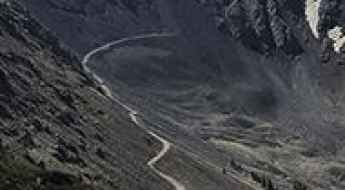
Glacier Peak: Driving the old mining road to the 3,917m summit
Glacier Peak is a high mountain summit at an elevation of 3,917m (12,851ft) above sea level, located on the boundary of Summit and Jefferson counties, in the US state of Colorado. Set high in the Front Range of the Rocky Mountains, the track to the top is an old mining road and stands as one of the highest roads in Colorado. The journey scales the alpine tundra of the Continental Divide, offering a raw driving experience through the historic mining districts of the region.
How to drive the unpaved road to Sunflower Hill in California?
Sunflower Hill is a high mountain pass at an elevation of 2.135m (7,004ft) above sea level, located in Placer County, in the U.S. state of California.
How to drive the unpaved road to Lone Cone Pass?
Lone Cone Pass is a high mountain pass at an elevation of 3.357m (11,015ft) above sea level located in San Miguel County, in the US state of Colorado.
How to drive the unpaved road to the lookout at Ute Mountain in Utah?
Located in the northeastern corner of Utah, the drive to Ute Mountain is a short but technical ascent to one of the last remaining fire lookouts in the state. Reaching an elevation of 2,694m (8,838ft) above sea level within the Ashley National Forest, the road offers a brutal but rewarding 360-degree view of the uninhabited northern slopes of the Uinta Mountain Range.
Sheep Mountain: Driving the remote NF-012 in the Salmon River Mountains
Sheep Mountain is a high-altitude peak located in the Salmon River Mountains of central Idaho. Tucked away in the Salmon-Challis National Forest, the track to the summit is called Sheep Mountain Road, officially designated as the NF-012. It is a rough, unpaved single-lane mountain track that cuts straight through sharp volcanic rock ridges and deep canyon drops with no side protections.