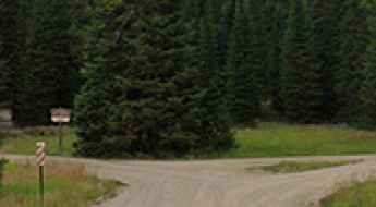
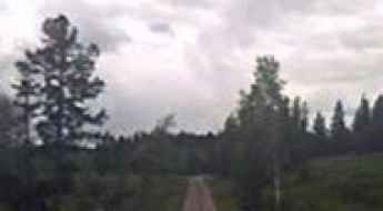
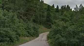
What are the most spectacular roads in the USA?
Located in North America, the USA is a true paradise for drivers, as it hosts more than 2,000 roads listed as the most spectacular in the world.
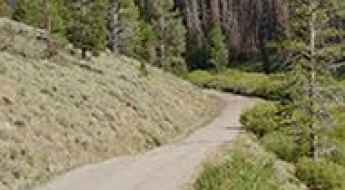
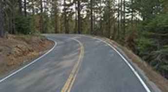
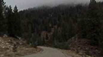
Featuring mountains, deserts, coasts, and snow, in the USA you’ll get your dream road. And you’ll never want to wake up. For instance, at the top of your list, you need to drive the Million Dollar Highway, the most beautiful road in America, and probably in the world. Built in the late 1880s, you'll be on the "outside" for a while with a hell of a view to your right (let the passenger enjoy the view; you'll want to watch the road). Another paved option must be the Iron Mountain Road, featuring 17 miles, 314 curves, 14 switchbacks, 3 pigtails, and 3 tunnels in the Black Hills of South Dakota. No list would be complete without the winding Tail of the Dragon: 318 curves in 11 miles. Spanning Tennessee and North Carolina, it is one of the most scenic drives in the USA. You also can’t skip driving Mount Evans Scenic Byway, the highest paved road in North America, climbing up to 4,310m (14,130ft) in Colorado. It is said to be the highest paved road in North America.
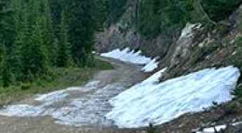
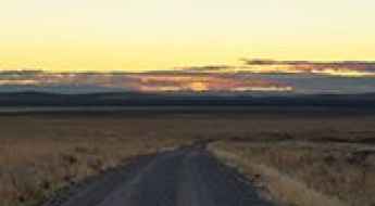
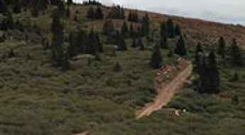
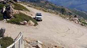
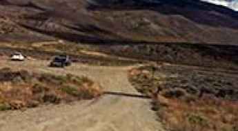
For those who prefer unpaved experiences, the country hosts some of the most defiant yet scenic roads in the world. You can’t miss Black Bear Pass, a high mountain adventure in the Colorado Rockies. Climbing up to 3,915m (12,844ft) above sea level, it's one of the highest roads in Colorado. You can also discover the beauty of Engineer Pass, a mountain pass at an elevation of 3,901m (12,800ft) above sea level in Colorado. It’s mostly a first-gear ride because the road is rough and rocky. The legendary Shafer Trail Road in Utah's Canyonlands National Park is an iconic drive located on the east-central edge of Utah. At times, the road is so narrow that only one car can pass. And Lippincott Mine Road in California is for experienced 4WD drivers using high-clearance vehicles only. You'll need a good map, as the routes are not marked and there are no signs. It’s one of the challenging backcountry roads in Death Valley National Park.
State Route 99: Why is it the Deadliest Highway in the United States?
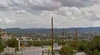
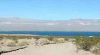
California’s Central Valley holds a dark record in American transit. In 2019, State Route 99 (SR 99) was declared the most dangerous freeway in the United States. Running through Fresno County, this route combines heavy agricultural logistics, high speeds, and unique environmental hazards that challenge even the most seasoned drivers.
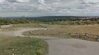
North Oscura Peak
North Oscura Peak is a high mountain peak at an elevation of 2.437m (7,995ft) above the sea level, located in Socorro County, in the U.S. state of New Mexico.
How to Get by Car to Trail Peak in Idaho?
Trail Peak is a high mountain peak at an elevation of 3,147m (10,324ft) above sea level, located in Lemhi County, in the US state of Idaho. It is one of the highest roads in Idaho.
Islip Saddle
Islip Saddle is a high mountain pass at an elevation of 2.036m (6,680ft) above the sea level, located within the Angeles National Forest, in San Bernardino County, California, in USA.
Thompson Pass
Thompson Pass is a high mountain pass at an elevation of 2.669m (8,756ft) above the sea level, located in Sublette County, Wyoming, in USA.
Vermilion Pass
Vermilion Pass is a high mountain pass at an elevation of 1.838m (6,030ft) above the sea level located in Sanders County, in Montana, USA.

6 Strategic Escapes from the New York Metropolitan Area
Escaping the high-density grid of New York City requires navigating a complex network of parkways and river corridors. Beyond the city limits, the topography shifts rapidly from coastal plains to the rugged elevations of the Hudson Highlands and the Catskill foothills. For the overlander or the driving enthusiast, these six destinations offer a mix of historical engineering and technical secondary roads, ideal for mid-range vehicle testing and tactical retreats into the regional wilderness.
Burnt Knob
Burnt Knob is a high mountain peak at an elevation of 2.466m (8,090ft) above the sea level, located in the southern Clearwater Mountains of Idaho County, Idaho, in USA.
Cass House Peak
Cass House Peak is a high mountain peak at an elevation of 3.203m (10,508ft) above the sea level, located in Elko County, in the northeastern corner of the U.S. state of Nevada. It’s one of the highest mountain roads of Nevada.

7 Safety Tips For Driving At Night On The American Roads
Driving at night presents a significantly higher risk profile than daylight transit. According to the National Highway Traffic Safety Administration (NHTSA), fatal crashes are three times more likely to occur after dark. The primary challenge is the drastic reduction in peripheral vision and the physiological effect of glare, which can temporarily blind a driver and increase reaction times on complex routes.
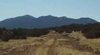
How to get by car to Porphyry Peak in Montana?
Porphyry Peak is a high mountain peak at an elevation of 2,500 meters (8,202 feet) above sea level, located in the US state of Montana.
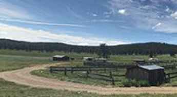
Upper McCain Spring Road
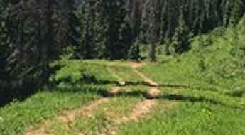
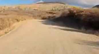
Upper McCain Spring Road is a gravel road located in the Lake Owyhee State Park, in eastern Oregon, USA.
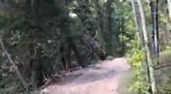
Tollhouse Road Is Miles Of White-Knuckle Driving In Fresno County
Tollhouse Road is the name of a challenging drive located in Fresno County, in the central portion of the U.S. state of California.
Webb Peak
Webb Peak is a high mountain peak at an elevation of 3.043m (9,984ft) above the sea level, located in Graham County, in the southeastern part of the U.S. state of Arizona. It's one of the highest mountain roads of Arizona.

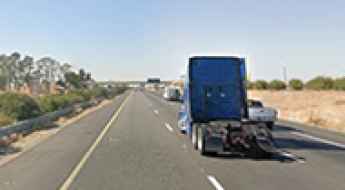
The 5 Most Dangerous Roads for Truckers in the USA
For commercial vehicle operators, the American interstate and highway system presents a diverse spectrum of catastrophic risks. While human error remains a primary variable, certain corridors are inherently hazardous due to structural deficiencies, extreme topographical shifts, and volatile meteorological patterns. For a "big rig" driver, navigating these five high-consequence roads requires a technical understanding of vehicle physics, brake endurance, and the specific logistical isolation of each region.
Inner Basin
Inner Basin is a high mountain basin at an elevation of 2.997m (9,832ft) above the sea level, located in Coconino County, in the north central part of the U.S. state of Arizona. It’s one of the highest mountain roads of Arizona.
How to drive the unpaved road to Slide Mountain in Colorado
Slide Mountain is a high mountain pass at an elevation of 3.132m (10,275ft) above sea level located in the US state of Colorado.
Smith Peak
Smith Peak is a high mountain peak at an elevation of 2.340m (7,677ft) above the sea level, located in Plumas County, in the Sierra Nevada of the U.S. state of California.
Lee Pass
Lee Pass is a high mountain pass at an elevation of 1.854m (6,082ft) above the sea level, located in the Zion National Park, in southwestern Utah, United States.
Rabbit Peak
Rabbit Peak is a high mountain peak at an elevation of 2.640m (8,661ft) above the sea level, located in Rio Arriba County, in the U.S. state of New Mexico.
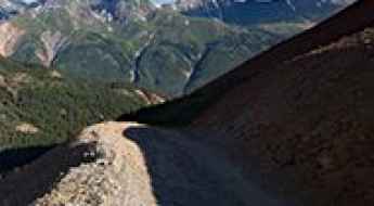
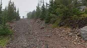
Driving the high altitude County Road 33 to Kendall Mountain
Kendall Mountain is a massive peak in San Juan County, Colorado, standing as one of the most technical challenges near Silverton. The road to the top, County Road 33 (Kendall Mountain Road), is a high-altitude grind that reaches a staggering 3,981 meters (13,061ft) above sea level. This is not a road for the faint of heart; it is a raw, boulder-lined shelf road where your tires are constantly fighting for traction on loose scree while hanging over vertical drops. It is important to note that the driveable track does not reach the actual summit peak but terminates at a high saddle on the mountain's western flank, leaving the final ascent to those on foot.
Burro Pass
Burro Pass is a high mountain pass at an elevation of 3.197m (10,488ft) above the sea level located in the Grand County, in Utah, USA.
George Peak
George Peak is a high mountain pass at an elevation of 2.928m (9,606 ft) located in Box Elder County, in Utah, USA.
Mount Emerine: Driving the 30 hairpins to the historic Sapphire Mountains lookout
Mount Emerine is a high mountain peak at an elevation of 2,631m (8,631ft) above sea level, located in Granite County, Montana. Situated within the Beaverhead-Deerlodge National Forest, the drive to the summit is one of the most technical and scenic climbs in the Sapphire Mountains, offering a mix of high-altitude challenge and historical intrigue.
Cerro Picacho
Cerro Picacho is a high mountain pass at an elevation of 3.071m (10,075ft) above the sea level, located in Taos County, in the U.S. state of New Mexico. It’s one of the highest mountain roads of New Mexico.
Driving the steep NF-356 road to Mount Jordan in Idaho
Mount Jordan is a high mountain peak at an elevation of 2,889m (9,478ft) above sea level, located in Custer County, in the US state of Idaho. It one of the highest roads in the entire state.
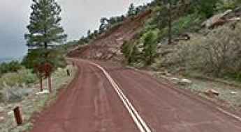
Road trip guide: Conquering Old La Veta Pass in CO
La Veta Pass is a high mountain pass at an elevation of 2.864m (9,396ft) above the sea level, located on the boundary of Costilla and Huerfano counties, in the US state of Colorado.
Silver Run Lake
Silver Run Lake is a high mountain lake at an elevation of 3.078m (10,098ft) above the sea level, located in Carbon County, in the U.S. state of Wyoming.
Forest Road 1950
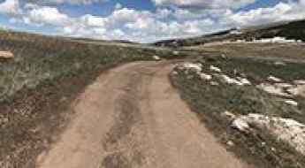
Forest Road 1950 is a high mountain road located in Taos and Colfax counties, in New Mexico, USA.
Bonita Peak
Bonita Peak is a high mountain pass at an elevation of 3.759m (12,332ft) above the sea level, located in San Juan County, in southwest Colorado, USA. It’sone of the highest mountain roads of Colorado.
Ortiz Peak
Ortiz Peak is a high mountain peak at an elevation of 3.423m (11,230ft) above the sea level, located in Taos County, in the U.S. state of New Mexico. It’s one of the highest mountain roads of New Mexico.
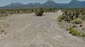
Mid-Basin Road
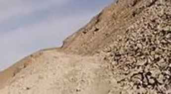
Mid-Basin Road is a short gravel road located in the the Lake Mead National Recreation Area, in Nevada, USA. It’s a 4wd track.
County Line Hill
County Line Hill is a high mountain peak at an elevation of 3.173m (10,410ft) above the sea level, located in Mono County, in the east central portion of the U.S. state of California. It's one of the highest roads of California.
Sugarloaf Mountain
Sugarloaf Mountain is a high mountain peak at an elevation of 3.221m (10,567ft) above the sea level, located in Salt Lake County, in the U.S. state of Utah. It’s one of the highest roads of Utah.
Road trip guide: Conquering Sunset Mountain in ID
Sunset Mountain is a high mountain peak at an elevation of 2.393m (7,851ft) above the sea level, located in Boise County, in the U.S. state of Idaho.

How to drive the unpaved road to Mount Heliograph in Arizona?
Mount Heliograph is a high mountain peak at an elevation of 3.060m (10,039ft) above sea level, located in Graham County, in the U.S. state of Arizona. It's one of the highest roads of Arizona.
Bachelor Mountain
Bachelor Mountain is a high mountain peak at an elevation of 2.754m (9,035ft) above the sea level located in Custer County, in the center of the U.S. state of Idaho. It’sone of the highest mountain roads of Idaho.
Big Horn Reservoir
Big Horn is a high mountain reservoir at an elevation of 3.727m (12,227ft) above the sea level, located in El Paso County, in the U.S. state of Colorado. It’s one of the highest roads of Colorado.

Legal Pitfalls Drivers Should be Careful to Avoid Before Hitting the Streets of USA
Summer is in full swing, and that means more people hitting the roads for vacations and weekend getaways. While you're out there enjoying the sun and scenery, it's important to be aware of the legal pitfalls that can come with driving.
Little Bald Mountain
Little Bald Mountain is a high mountain peak at an elevation of 2.189m (7,182ft) above the sea level, located in Placer County, in the U.S. state of California. It’s also known as Duncan Peak.

How to drive the paved road to Andrews Lake in Colorado
Andrews Lake is a high mountain lake at an elevation of 3.285m (10,777) above sea level, located in San Juan County, in the US state of Colorado.
Williams Peak
Williams Peak is a high mountain pass at an elevation of 3.424m (11,233ft) above the sea level, located in the Front Range of Grand County, Colorado, in USA. It is not a difficult trail, but it offers some spectacular views.
Clara Peak
Clara Peak is a high mountain peak at an elevation of 2.604m (8,544ft) above the sea level, located in Rio Arriba County, in the U.S. state of New Mexico.
Dawson Saddle
Dawson Saddle is a high mountain pass at an elevation of 2.415m (7,923ft) above the sea level, located in Los Angeles County, California, in USA.
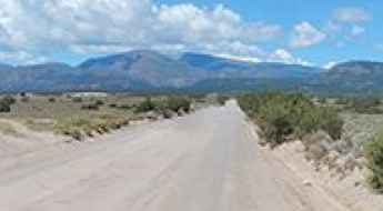
Mud Springs Road
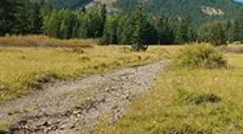
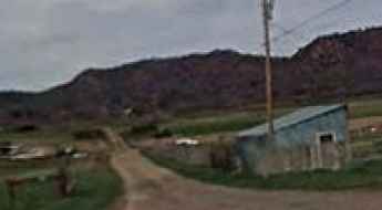
Mud Springs Road is a scenic journey in the heart of Clark County, in the U.S. state of Nevada.
Travel is the Best Education: Planning an Educational Road Trip in the USA
Traveling across the United States is one of the most effective ways to broaden your horizons and gain a new perspective on history, geography, and culture. For students and lifelong learners, hitting the road offers a practical education that no classroom can replicate. However, combining a rigorous study schedule with a cross-country itinerary requires precise logistical planning.
Browns Pass
Browns Pass is a high mountain pass at an elevation of 3.452m (11,325ft) above the sea level located in the Gunnison County, in Colorado, USA.
Travel guide to the top of Mount Defiance in OR
Mount Defiance is a high mountain peak at an elevation of 1.514m (4,967ft) above the sea level, located in Hood River County, in the U.S. state of Oregon.