What are the most spectacular roads in the USA?
Located in North America, the USA is a true paradise for drivers, as it hosts more than 2,000 roads listed as the most spectacular in the world.
Featuring mountains, deserts, coasts, and snow, in the USA you’ll get your dream road. And you’ll never want to wake up. For instance, at the top of your list, you need to drive the Million Dollar Highway, the most beautiful road in America, and probably in the world. Built in the late 1880s, you'll be on the "outside" for a while with a hell of a view to your right (let the passenger enjoy the view; you'll want to watch the road). Another paved option must be the Iron Mountain Road, featuring 17 miles, 314 curves, 14 switchbacks, 3 pigtails, and 3 tunnels in the Black Hills of South Dakota. No list would be complete without the winding Tail of the Dragon: 318 curves in 11 miles. Spanning Tennessee and North Carolina, it is one of the most scenic drives in the USA. You also can’t skip driving Mount Evans Scenic Byway, the highest paved road in North America, climbing up to 4,310m (14,130ft) in Colorado. It is said to be the highest paved road in North America.
For those who prefer unpaved experiences, the country hosts some of the most defiant yet scenic roads in the world. You can’t miss Black Bear Pass, a high mountain adventure in the Colorado Rockies. Climbing up to 3,915m (12,844ft) above sea level, it's one of the highest roads in Colorado. You can also discover the beauty of Engineer Pass, a mountain pass at an elevation of 3,901m (12,800ft) above sea level in Colorado. It’s mostly a first-gear ride because the road is rough and rocky. The legendary Shafer Trail Road in Utah's Canyonlands National Park is an iconic drive located on the east-central edge of Utah. At times, the road is so narrow that only one car can pass. And Lippincott Mine Road in California is for experienced 4WD drivers using high-clearance vehicles only. You'll need a good map, as the routes are not marked and there are no signs. It’s one of the challenging backcountry roads in Death Valley National Park.
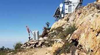
How to drive the unpaved road to Jordan Peak in California?
Jordan Peak is a high mountain peak at an elevation of 2.619m (8,592ft) above sea level, located in Tulare County, in the U.S. state of California.
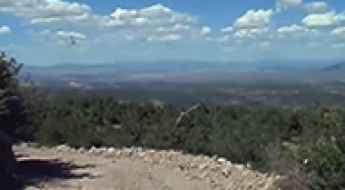
How to drive the unpaved road to the lookout at Ella Mountain in Nevada
Ella Mountain is a high mountain peak at an elevation of 2.280m (7,480ft) above sea level, located in Lincoln County, in the US state of Nevada.
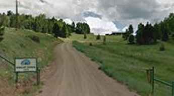
How to drive the curvy road to Black Mountain in New Mexico?
Black Mountain is a high mountain peak at an elevation of 3.132m (10,275ft) above sea level, located in Colfax County, in the U.S. state of New Mexico. It’s one of the highest roads of New Mexico.
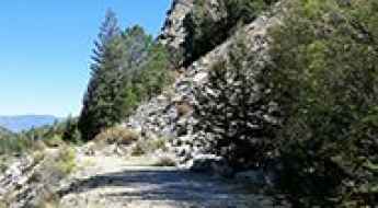
The unpaved road to Mount Mamma in Colorado
Mount Mamma is a high mountain peak located in Chaffee County, in the US state of Colorado. An abandoned mining road near the summit, ends at 3.842 m (12,604ft) above sea level. It’s one of the highest roads in Colorado.
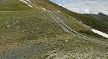
How to drive the unpaved road to Jones Mountain in Colorado?
Jones Mountain is a high mountain peak at an elevation of 3.866m (12,683ft) above sea level, located in Chaffee County, in the US state of Colorado. It’s one of the highest roads of Colorado.
How to drive the unpaved road to Blackhead Peak in Colorado?
Blackhead Peak is a high mountain peak located in Archuleta County, in the U.S. state of Colorado. An abandoned dirt road at the western base tops out at an elevation of 3.301m (10,830ft) above sea level.
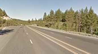
How to drive the paved road to Spooner Summit in Nevada?
Spooner Summit is a high mountain pass at an elevation of 2,178 meters (7,146 ft) above sea level, located in Douglas County, in the U.S. state of Nevada.
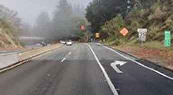
Patchen Pass in California: this road is not for timid drivers
Patchen Pass is a mountain pass at an elevation of 562m (1,843ft) above sea level, located in the U.S. state of California.
How to drive the unpaved road to Lovell Summit in Nevada
Lovell Summit is a high mountain pass at an elevation of 2.075m (6,807ft) above sea level, located in Clark County, in the U.S. state of Nevada.
How to drive the unpaved road to Lake Isabelle in Colorado?
Lake Isabelle is a high mountain lake at an elevation of 3.619m (11,873ft) above sea level, located in Lake County, in the U.S. state of Colorado. It’s one of the highest roads in Colorado.
Is the Copper River Highway one of the most scenic roads in Alaska?
Located in the Chugach National Forest (Valdez-Cordova Census Area), in the U.S. state of Alaska, the Copper River Highway is a remote route running along the former railbed of the Copper River and Northwestern Railway.

The Ultimate Michigan Road Trip: a Stop-by-Stop Guide
Michigan offers one of the most diverse driving environments in the American Midwest. From the industrial logistics of the Motor City to the high-latitude wilderness of the Upper Peninsula (U.P.), a road trip across this state is a study in coastal geography and infrastructure. Navigating the shores of Lake Michigan and Lake Superior requires a strategic approach to route planning, especially as roads transition from standard interstates to narrow, wind-exposed scenic byways with limited service availability.
A memorable road trip to Santa Rosa Mountain in California
Santa Rosa Mountain is a high mountain peak at an elevation of 2.456m (8,057ft) above sea level, located in Riverside County, in the U.S. state of California.
Driving the NF-245 to the abandoned Sullivan Mountain lookout in Washington
Sullivan Mountain is a high mountain peak at an elevation of 1,977m (6,486ft) above sea level, located in Pend Oreille County, in the northeast corner of Washington, USA. Sitting right along the Canada–US border, this is one of the highest roads in the state and offers a deep dive into the rugged wilderness of the Colville National Forest.
How to drive the unpaved road to North Star Mountain in Colorado?
North Star Mountain is a high mountain peak at an elevation of 3.960m (12,992ft) above sea level, located in the US state of Colorado. It’s one of the highest roads of Colorado.
A memorable road trip to McKays Peak in Arizona
McKays Peak is a high mountain peak at an elevation of 2.793m (9,163ft) above sea level, located in Navajo County, in the U.S. state of Arizona. It's one of the highest roads of Arizona.
How to drive the steep road to Spruce Mountain in Nevada?
Spruce Mountain is a high mountain peak at an elevation of 3.129m (10,267ft) above sea level, located in Elko County, in the U.S. state of Nevada. It's one of the highest roads of Nevada.
How to drive the unpaved road to Petes Hole Reservoir in Utah?
Petes Hole Reservoir is a high mountain reservoir at an elevation of 2.718m (8,917ft) above sea level, located in Sanpete County, in the US state of Utah.
A paved road to Mentasta Pass in Alaska
Mentasta Pass is a mountain pass at an elevation of 739m (2,424ft) above sea level, located in the US state of Alaska.
How to drive the unpaved road to Blue Lake in Colorado
Blue Lake is an alpine lake at an elevation of 3.728m (12,230ft) above sea level, located in San Miguel County, in the U.S. state of Colorado. It’s one of the highest roads in Colorado.
How to drive the unpaved road to Cerro del Oso in New Mexico
Cerro del Oso is a high mountain peak at an elevation of 3.261m (10,698ft) above sea level, located in Taos County, in the U.S. state of New Mexico. It’s one of the highest roads of New Mexico.
How to drive the unpaved road to Nogal Peak in New Mexico
Nogal Peak is a high mountain pass at an elevation of 2.685m (8,809ft) above sea level, located in Otero County, in the US state of New Mexico.
The paved road to Willow Creek Summit in Idaho
Willow Creek Summit is a high mountain pass at an elevation of 2.183m (7,161ft) above sea level located in Custer County, in the US state of Idaho.
How to drive the unpaved road to Pine Creek Reservoir in Oregon
Pine Creek Reservoir is a high mountain reservoir at an elevation of 2.003m (6,571ft) above sea level, located in Baker County, in the U.S. state of Oregon.
How to drive the unpaved road to London Mountain in Colorado
London Mountain is a high mountain peak located in Park County, in the U.S. state of Colorado. East of the summit, an old mining road climbs up to at an elevation of 3.695m (12,122ft) above sea level. It’s one of the highest roads of Colorado.
How to drive the unpaved road to Butch Cassidy Pass in Nevada
Butch Cassidy Pass is a mountain pass at an elevation of 1.217m (3,992ft) above sea level, located in Nye County, in the US state of Nevada.
How to drive the unpaved road to Bull of the Woods Pass in Montana
Bull of the Woods Pass is a high mountain pass at an elevation of 3.010m (9,875ft) above sea level, located in Park County, in the US state of Montana. It's one of the highest roads of Montana.
Ultimate 4wd destination: Libby Flats in Wyoming
Libby Flats is a high mountain plateau at an elevation of 3.252m (10,669ft) above sea level, located in Carbon County, in the U.S. state of Wyoming. It’s one of the highest roads of Wyoming.
How to drive the scenic backcountry road to Zenobia Peak in Colorado?
Zenobia Peak is a high mountain peak at an elevation of 2.745m (9,006ft) above sea level, located in Moffatt County, in the U.S. state of Colorado.
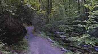
How to drive the Roaring Fork Motor Nature Trail in Tennessee?
The Roaring Fork Motor Nature Trail is a narrow, 6-mile (9.6 km) paved one-way loop road located near Gatlinburg, Sevier County, in the US state of Tennessee. Situated inside the Great Smoky Mountains National Park, it follows the fast-flowing Roaring Fork stream through dense mountain forest terrain.
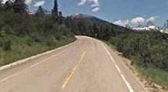
How to drive the paved road to Grand Targhee Resort in Wyoming
Grand Targhee Resort is a ski resort at an elevation of 2.430m (7,972ft) above sea level, located in Teton County, in the U.S. state of Wyoming.
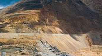
How to drive the unpaved road to Bartlett Mountain in Colorado
Bartlett Mountain is a high mountain peak at an elevation of 4.016m (13,175ft) above sea level, located in Summit County, in the U.S. state of Colorado. It’s one of the highest roads of Colorado.
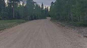
Hot to get by car to Kaibab Plateau in Arizona?
Kaibab Plateau is a high mountain plateau at an elevation of 2.817m (9,200ft) above sea level, located in Coconino County, in the U.S. state of Arizona. It's one of the highest roads of Arizona.
How to drive the unpaved road to Revenue Mountain in Colorado?
Revenue Mountain is a high mountain peak at an elevation of 3,725m (12,221ft) above sea level located in Clear Creek County, in the US state of Colorado. It’s one of the highest roads of Colorado..
Enjoy a Drive Among the Clouds to Aspen Mountain in Colorado
Aspen Mountain is a high mountain peak at an elevation of 3,422m (11,227ft) above sea level, located in Pitkin County, in the U.S. state of Colorado.
A very bumpy, grueling road to Warrior Mountain in Colorado
Warrior Mountain is a high mountain peak at an elevation of 3.433m (11,263ft) above sea level, located in Clear Creek County, in the U.S. state of Colorado.
How to drive the unpaved road to Supreme Lift in Utah?
Supreme Lift is a high mountain lift at an elevation of 3.200m (10,498ft) above sea level, located in Salt Lake County, in the U.S. state of Utah. It’s one of the highest roads of Utah.
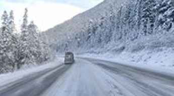
How to drive the paved road to Stevens Pass in Washington
Stevens Pass is a high mountain pass at an elevation of 1.243m (4,078ft) above sea level, located in the U.S. state of Washington.
How to drive the unpaved road to Henderson Mountain in Montana?
Henderson Mountain is a high mountain pass at an elevation of 3.043m (9,983ft) above sea level located in Park County, in the US state of Montana. It's one of the highest roads of Montana.
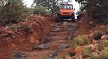
How to drive the Broken Arrow 4x4 Trail in Sedona?
Spanning Coconino and Yavapai counties in the U.S. state of Arizona, Broken Arrow Trail is a famous 4-mile (6.4 km) unpaved off-road track running through the red rock country of the Coconino National Forest. It climbs 300 feet of elevation gain to Chicken Point, serving as one of the most technical short 4x4 routes in Sedona.
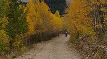
How to drive the unpaved road to Mount Peale in Colorado?
Mount Peale is a high mountain peak located in San Juan County, in the US state of Utah. East of the summit, a gravel road climbs up to at an elevation of 3.287m (10,784ft) above sea level. It’s one of the highest roads of Utah.
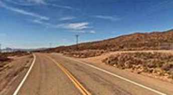
Granite Pass is the highest point of Kelbaker Road
Granite Pass is a high mountain pass at an elevation of 1.233m (4,045ft) above sea level, located in San Bernardino County, in the US state of California.
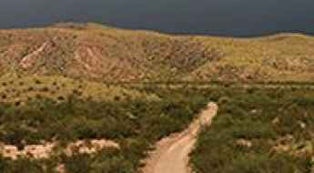
Driving through the challenging River Road in Texas
River Road is a very scenic 4x4 trail located in Brewster County, in the western part of the U.S. state of Texas. It’s said to be one of the most scenic drives in Texas. The road is pretty challenging, as it travels through and across many desert washes.
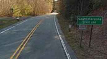
An awe-inspiring drive to Jones Gap
Jones Gap is a mountain pass at an elevation of 893m (2,929ft) above sea level, located on the border between South Carolina and North Carolina, in the Southeastern region of the United States.
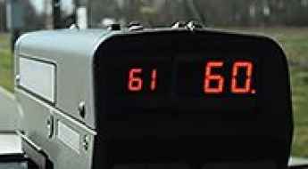
Caught Speeding in the USA? Here's what to do next...
Navigating the vast highway systems of the United States requires strict adherence to variable jurisdictional speed limits. Getting clocked by a radar or being pulled over by state troopers can be a complex logistical and legal challenge, especially for international travelers or long-distance overlanders. Understanding the specific protocols of a "Traffic Stop" and the subsequent administrative steps is essential for mitigating the impact on your driving record and insurance standing.
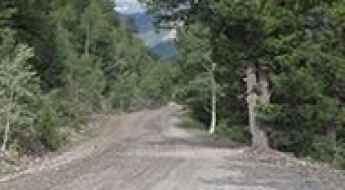
How to drive the unpaved road to Heart Lake in Colorado
Heart Lake is a high mountain lake at an elevation of 3.653m (11,984ft) above sea level, located in Hinsdale County, in the US state of Colorado. It’s one of the highest roads of Colorado.
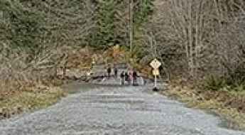
The Olympic Hot Springs Road in Washington, closed to vehicles due to a road washout
Located in Clallam County, in the U.S. state of Washington, Olympic Hot Springs Road is totally washed out and closed to vehicles indefinitely.
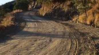
How to drive the steep road to Mount Hopkins in Arizona?
Mount Hopkins is a high mountain peak at an elevation of 2.612m (8,569ft) above sea level, located in Santa Cruz County, in the US state of Arizona.