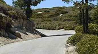
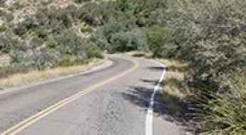
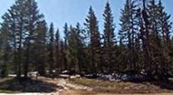
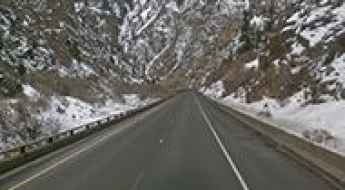
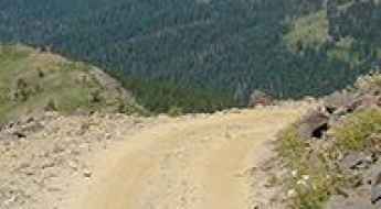
What are the most spectacular roads in the USA?
Located in North America, the USA is a true paradise for drivers, as it hosts more than 2,000 roads listed as the most spectacular in the world.
Featuring mountains, deserts, coasts, and snow, in the USA you’ll get your dream road. And you’ll never want to wake up. For instance, at the top of your list, you need to drive the Million Dollar Highway, the most beautiful road in America, and probably in the world. Built in the late 1880s, you'll be on the "outside" for a while with a hell of a view to your right (let the passenger enjoy the view; you'll want to watch the road). Another paved option must be the Iron Mountain Road, featuring 17 miles, 314 curves, 14 switchbacks, 3 pigtails, and 3 tunnels in the Black Hills of South Dakota. No list would be complete without the winding Tail of the Dragon: 318 curves in 11 miles. Spanning Tennessee and North Carolina, it is one of the most scenic drives in the USA. You also can’t skip driving Mount Evans Scenic Byway, the highest paved road in North America, climbing up to 4,310m (14,130ft) in Colorado. It is said to be the highest paved road in North America.
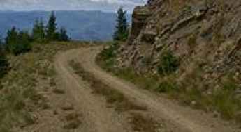
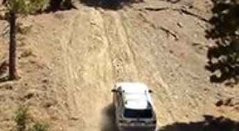
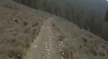
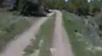
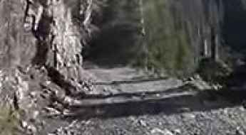
For those who prefer unpaved experiences, the country hosts some of the most defiant yet scenic roads in the world. You can’t miss Black Bear Pass, a high mountain adventure in the Colorado Rockies. Climbing up to 3,915m (12,844ft) above sea level, it's one of the highest roads in Colorado. You can also discover the beauty of Engineer Pass, a mountain pass at an elevation of 3,901m (12,800ft) above sea level in Colorado. It’s mostly a first-gear ride because the road is rough and rocky. The legendary Shafer Trail Road in Utah's Canyonlands National Park is an iconic drive located on the east-central edge of Utah. At times, the road is so narrow that only one car can pass. And Lippincott Mine Road in California is for experienced 4WD drivers using high-clearance vehicles only. You'll need a good map, as the routes are not marked and there are no signs. It’s one of the challenging backcountry roads in Death Valley National Park.
Keller Peak
Keller Peak is a high mountain peak at an elevation of 2.405m (7,890ft) above the sea level, located in San Bernardino County, Southern California, United States.
Cook Peak
Cook Peak is a high mountain peak at an elevation of 1.604m (5,262ft) above the sea level, located in Kern County, in the U.S. state of California.
Schultz Pass
Schultz Pass is a high mountain pass at an elevation of 2.468m (8,097ft) above the sea level located in the U.S. state of Arizona.
Lone Peak
Lone Peak is a high mountain peak at an elevation of 2.953m (9,688ft) above the sea level, located in Madison County, in southwestern Montana, in USA.
Panther Pass
Panther Pass is a high mountain pass at an elevation of 1.760m (5,774ft) above the sea level, located in Brewster County, Texas, in USA.
Brooklyn Lake
Brooklyn Lake is a high mountain lake at an elevation of 3.243m (10,639ft) above the sea level, located in Carbon County, in the U.S. state of Wyoming. It’s one of the highest mountain roads of Wyoming.
Sheriff Reservoir
Sheriff Reservoir is a high mountain reservoir at an elevation of 2.987m (9,799ft) above the sea level, located in Rio Blanco County, in northwest Colorado, USA.
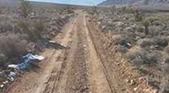
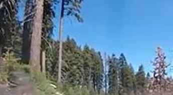
Leatherman Peak: Driving the vertical Sawmill Gulch Road in Idaho
Leatherman Peak is a high-altitude mountain summit located in Custer County, Idaho. While the peak itself reaches higher elevations, a grueling gravel road climbs its western flank to reach 2,742m (8,996ft) above sea level. This track, known as Forest Road 411 or Sawmill Gulch Road, is one of the highest mountain roads of Idaho. It is a raw, unpaved transit within the Salmon-Challis National Forest where the extreme verticality and the rugged nature of the Lost River Range define every meter of the ascent.
Blowhard Mountain
Blowhard Mountain is a high mountain peak at an elevation of 3.264m (10,708ft) above the sea level, located in Iron County, Utah, United States. It’s one of the highest mountain roads of Utah.
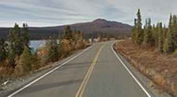
Richardson Highway: a historic trip from Valdez to Fairbanks in AK
Richardson Highway is the name of a very scenic drive into the heart of Alaska's mining districts, connecting Valdez to Fairbanks. It was the first major road built in the state.
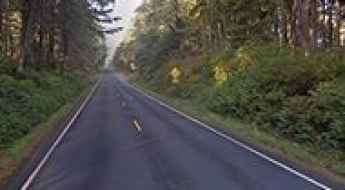
Olympic Peninsula Loop Drive: Driving the 329-mile US-101 in Washington
The Olympic Peninsula Loop is a long-distance coastal and forest highway covering 329 miles (531 km) through the western sector of Washington State. Running mainly along the paved US-101 highway, the loop circumnavigates the Olympic National Park, forcing drivers to deal with relentless rain deluges, heavy logging truck traffic, and sudden asphalt washouts.
Scenic Loop Drive
Scenic Loop Drive is an amazing drive in the Theodore Roosevelt National Park, in North Dakota, USA.
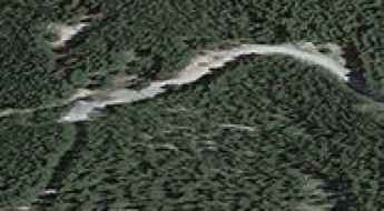
How to get by car to Salton Sea in California?
The Salton Sea is an inland saline lake straddling Imperial and Riverside counties, in the US state of California. It’s one of the Earth’s Lowest Elevations at -227 ft (-69 m) below sea level.

Lewis and Clark Highway
Lewis and Clark Highway is a very scenic drive located in Skamania County, Washington, United States.
The Ultimate Guide to Traveling the Gass Peak Road in NV
Gass Peak Road is a very scenic drive located in the Las Vegas Range of Southern Nevada, in USA.
Eagle Peak
Eagle Peak is a high mountain peak at an elevation of 2.987m (9,801ft) above the sea level, located in Catron County, in western New Mexico, in USA.
Slide Mountain
Slide Mountain is a high mountain peak at an elevation of 2.928m (9,606ft) above the sea level, located in Washoe County, Nevada, in USA. The mountain is well known for its rock slides. It’s one of the highest roads of Nevada.
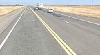
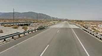
Road Conditions in California’s Central Valley: A Regional Overview
The Central Valley of California represents one of the most stressed road environments in the United States. Federal road condition data consistently ranks the region's urban and rural arterials among the most deteriorated in the nation. This systematic degradation of the pavement is not merely a matter of driver discomfort; it is a critical safety variable that introduces unpredictable hazards, increases vehicle mechanical failure rates, and compromises the integrity of the state's primary agricultural logistics corridors.
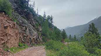
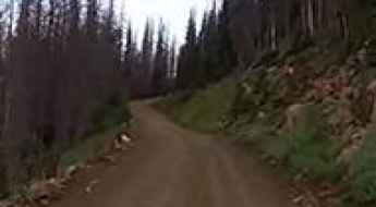
The defiant Lime Creek Road in Colorado will take your breath away
Lime Creek Road is a very scenic yet challenging road located in San Juan County, in the U.S. state of Colorado.
Virginia Peak
Virginia Peak is a high mountain peak at an elevation of 2.551m (8,370ft) above the sea level, located in Washoe County, in the U.S. state of Nevada.
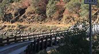
The spectacular 1925 Italian Bar Bridge in California
1925 Italian Bar Bridge is a very scenic bridge located on the boundary of Fresno County and Madera County, at the geographic center of the U.S. state of California. It’s one of the most spectacular bridges in the world.
Cougar Peak
Cougar Peak is a high mountain peak at an elevation of 2.041m (6,696ft) above the sea level located in Sanders County, in Montana, USA.
Mazuorka Peak
Mazuorka Peak is a high mountain peak at an elevation of 2.870m (9,416ft) above the sea level, located in Inyo County, in the U.S. state of California. It's one of the highest mountain roads of California.
Cave Mountain
Cave Mountain is a high mountain peak at an elevation of 3.277m (10,751ft) above the sea level, located in White Pine County, in the central eastern boundary of the U.S. state of Nevada. It’s one of the highest roads of Nevada.
Blackbird Mountain
Blackbird Mountain is a high mountain peak at an elevation of 2.761m (9,058ft) above the sea level located in the Salmon River Mountains, in Lemhi County, Idaho, in USA. It's one of the highest roads in Idaho.

Driving the breathtaking Las Vegas Convention Center Loop
Las Vegas Convention Center Loop is the name of an underground tunnel system located in Las Vegas, in the southern part of the U.S. state of Nevada.
Cerro Saragate
Cerro Saragate is a high mountain pass at an elevation of 3.151m (10,337ft) above the sea level, located in Rio Arriba County, in the U.S. state of New Mexico. It’s one of the highest mountain roads of New Mexico.
How to drive the scenic road through Glenwood Canyon in Colorado?
Located in the US state of Colorado, the 12.5-mile stretch of Interstate-70 through Glenwood Canyon is a marvel of engineering.
Wilson Peak
Wilson Peak is a high mountain peak at an elevation of 3.719m (12,201ft) above the sea level, located in San Miguel County, Colorado, in United States. It’s one of the highest roads of Colorado.
Can I drive the unpaved road to Silver Plume Mountain in Colorado?
Silver Plume Mountain is a high mountain peak located in Clear Creek County, in the US state of Colorado. East of the summit, a minor unpaved road climbs up to at an elevation of 3.756m (12,322ft) above sea level. It’s one of the highest roads of Colorado.
Gobblers Knob
Gobblers Knob is a high mountain peak at an elevation of 2.002m (6,568ft) above the sea level, located in San Bernardino County, in California, USA. The drive is very steep, with sections up to 44%.
Garfield Peak
Garfield Peak is a high mountain peak at an elevation of 3.771m (12,372ft) above the sea level, located in Chaffee County, in the U.S. state of Colorado. It’s one of the highest mountain roads of Colorado.
Wildhorse Peak
Wildhorse Peak is a high mountain peak at an elevation of 2.913m (9,557ft) above the sea level, located in Custer County, Idaho, in USA. It’s one of the highest mountain roads in Idaho. Located in the White Knob Mountains of central Idaho, the road to the summit is gravel, rocky, tippy and bumpy at times.
Ward Mountain
Ward Mountain is a high mountain peak at an elevation of 3.336m (10,944ft) above the sea level, located in south-central White Pine County of eastern Nevada, in USA. It’s one of the highest mountain roads of Nevada.
A 4wd trail to Maggie Gulch mine
Maggie Gulch mine is an old mining site at an elevation of 3.755m (12,319ft) above the sea level, located in San Juan County, southwest Colorado, USA. It's one of the highest mountain roads of Colorado.
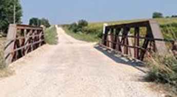
320th Avenue Bridge
Located in Iowa, in USA, the 320th Avenue Bridge is one of the most spectacular bridges in the world.
Ord Mountain
Ord Mountain is a high mountain peak at an elevation of 1.380m (4,527ft) above the sea level, located in San Bernardino County, in the southern portion of the U.S. state of California.
Freds Mountain
Freds Mountain is a high mountain peak at an elevation of 3.004m (9,855ft) above the sea level, located in Teton County, Wyoming, United States.
Chopaka Mountain
Chopaka Mountain is a high mountain peak at an elevation of 1.903m (6,243ft) above the sea level, located in Okanogan County, in the U.S. state of Washington along the Canada–US border. It’s one of the highest mountain roads of Washington.
Tobias Peak
Tobias Peak is a high mountain peak at an elevation of 2.505m (8,218ft) above the sea level, located in Tulare County, in the U.S. state of California.

Logistics and Survival for High-Isolation Fishing Drives
Planning a fishing expedition into the true wilderness—far beyond the reach of localized infrastructure—requires a strategic approach to logistics and safety. Whether your objective is high-altitude trout in the Himalayas or tuna in isolated maritime sectors of the Atlantic, the challenge lies in the transit and the environmental volatility of the terrain. For the adventure-driven angler, success depends on mechanical autonomy, precise navigation, and a disciplined gear strategy designed for "no-service" zones.
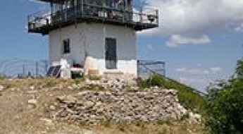
What are the driving conditions on the road to Apache Point Observatory?
The Apache Point Observatory is a high-altitude research facility at an elevation of 2,801m (9,189ft) above sea level, located in Otero County, in the US state of New Mexico. The access is via Apache Point Road, a short mountain spur that connects the observatory with the Sunspot Highway (NM Hwy-6563).
A sensational road to Lobo Overlook
Lobo Overlook sits at an elevation of 3.585m (11,761ft) above the sea level in Mineral County, in the U.S. state of Colorado. The summit offers breathtaking panorama views of the San Juan Mountains and west toward Pagosa Springs.
How to drive the unpaved road to Big Bear Peak in Colorado?
Big Bear Peak is a high mountain peak at an elevation of 3.709m (12,168ft) above sea level, located in San Miguel County, in the US state of Colorado.
How to get by car to Black Lake in Idaho?
Black Lake is an alpine lake at an elevation of 2,206m (7,237ft) above sea level, located in Adams County, a rural county in the US state of Idaho.
Grassy Mountain
Grassy Mountain is a high mountain peak at an elevation of 2.438m (7,998ft) above the sea level, located in Deer Lodge County, in the southwestern part of the U.S. state of Montana. Elk, mule deer, badgers, coyotes, and black bears can be seen along the trail.
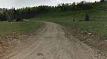
Stonehouse Road
Stonehouse Road is a short gravel road located in the the Lake Mead National Recreation Area, in Nevada, USA. It’s a 4wd track.
Monument Ridge
Monument Ridge is a high mountain pass at an elevation of 2.919m (9,576ft) above the sea level, located in Madison County, in southwestern Montana, in USA.