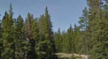
What are the most spectacular roads in the USA?
Located in North America, the USA is a true paradise for drivers, as it hosts more than 2,000 roads listed as the most spectacular in the world.
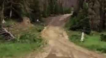
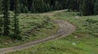
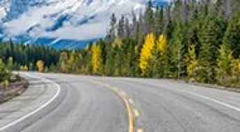
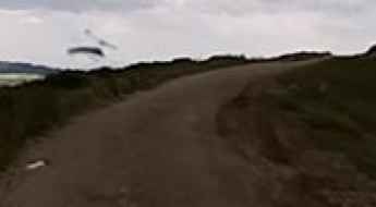
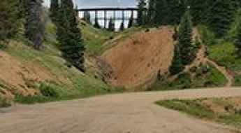
Featuring mountains, deserts, coasts, and snow, in the USA you’ll get your dream road. And you’ll never want to wake up. For instance, at the top of your list, you need to drive the Million Dollar Highway, the most beautiful road in America, and probably in the world. Built in the late 1880s, you'll be on the "outside" for a while with a hell of a view to your right (let the passenger enjoy the view; you'll want to watch the road). Another paved option must be the Iron Mountain Road, featuring 17 miles, 314 curves, 14 switchbacks, 3 pigtails, and 3 tunnels in the Black Hills of South Dakota. No list would be complete without the winding Tail of the Dragon: 318 curves in 11 miles. Spanning Tennessee and North Carolina, it is one of the most scenic drives in the USA. You also can’t skip driving Mount Evans Scenic Byway, the highest paved road in North America, climbing up to 4,310m (14,130ft) in Colorado. It is said to be the highest paved road in North America.
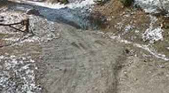
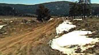
For those who prefer unpaved experiences, the country hosts some of the most defiant yet scenic roads in the world. You can’t miss Black Bear Pass, a high mountain adventure in the Colorado Rockies. Climbing up to 3,915m (12,844ft) above sea level, it's one of the highest roads in Colorado. You can also discover the beauty of Engineer Pass, a mountain pass at an elevation of 3,901m (12,800ft) above sea level in Colorado. It’s mostly a first-gear ride because the road is rough and rocky. The legendary Shafer Trail Road in Utah's Canyonlands National Park is an iconic drive located on the east-central edge of Utah. At times, the road is so narrow that only one car can pass. And Lippincott Mine Road in California is for experienced 4WD drivers using high-clearance vehicles only. You'll need a good map, as the routes are not marked and there are no signs. It’s one of the challenging backcountry roads in Death Valley National Park.
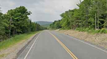
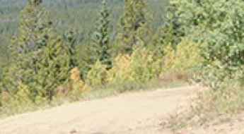
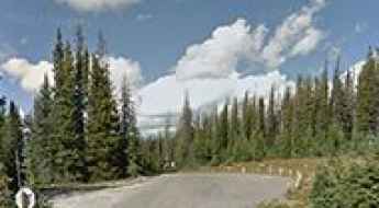
Driving the scenic ME-17, the highest paved road in Maine
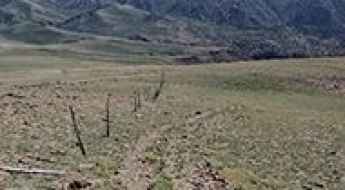
State Route 17 is a very scenic drive in the central part of the US state of Maine. It’s the highest paved road in Maine.
A memorable road trip to Isabel Pass in Alaska
Isabel Pass is a mountain pass at an elevation of 1.005m (3,297ft) above sea level, located on the boundary between Valdez–Cordova Census Area and Southeast Fairbanks Census Area, in the U.S. state of Alaska. It’s one of the highest roads in Alaska.
Carrizo Mountain
Carrizo Mountain is a mountain peak at an elevation of 661m (2,168ft) above the sea level, located in Imperial County, California, in USA.
Dead Horse Point
Dead Horse Point is a natural viewpoint at an elevation of 1.814m (5,951ft) above the sea level, located in San Juan County, in the southeastern portion of the U.S. state of Utah. The summit features a dramatic overlook of the Colorado River and Canyonlands National Park.
Summit Pass
Summit Pass is a high mountain pass at an elevation of 3.597m (11,801ft) above the sea level, located in the Rio Grande County, in Colorado, USA. There are a few water crossings along the way.
Chalk Mountain: a rough forest road to the summit
Chalk Mountain is a high mountain peak at an elevation of 3.667m (12,030ft) above the sea level, located in Lake County, in the U.S. state of Colorado.
Survival guide to the 3 most dangerous highways in the USA
While the United States is known for its extensive interstate system, specific routes like the I-26, Highway 2, and the I-95 present extreme risks that defy national safety averages. These are not just roads with high traffic; they are high-fatality corridors where specific engineering flaws and geographical isolation create a zero-margin-for-error environment for any driver.
Colorado Rockies: The Essential 4-Pass High-Altitude Driving Itinerary
The Colorado Rockies are home to some of the most spectacular, high-altitude driving passes in the contiguous United States. This itinerary focuses on four essential passes—Aspen Summer Road, Monarch Pass, Berthoud Pass, and Red Mountain Pass—each offering distinct challenges, extreme elevations, and breathtaking views of the Continental Divide.
Attempting these routes requires advanced planning, especially concerning road accessibility. While some passes remain open year-round, many are subject to seasonal closures and unexpected weather events, even during summer months.
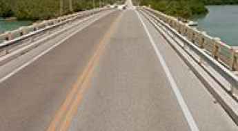
Crossing the Situk River at the Nine Mile Bridge
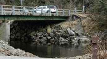
Located outside of the small coastal community of Yakutat, in the U.S. state of Alaska, Nine Mile Bridge is one of the most spectacular bridges in the world.
Squaw Peak
Squaw Peak is a high mountain peak at an elevation of 2.698m (8,851ft) above the sea level, located in Placer County, California. Views from the summit are pretty spectacular.
Pro Tips for Selling 4x4 Vehicles for High-Risk Roads
The market for used 4x4 vehicles and expedition platforms in the United States has seen a significant increase in demand. For owners of off-road trucks and SUVs, selling a vehicle is no longer just a transaction, but an evaluation of mechanical readiness for challenging environments. Whether your vehicle was built for the rock crawls of Moab or the frozen reaches of the Arctic, documenting its specialized upgrades and structural integrity is essential for achieving a professional-grade valuation in today’s high-demand landscape.
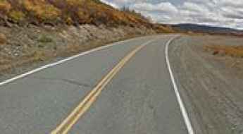
Taking on the 248 Twists and Turns of Old Blewett Pass in Washington
Old Blewett Pass is a high mountain pass at an elevation of 1.243m (4,078ft) above sea level, located on the boundary of Kittitas and Chelan counties, in the U.S. state of Washington.
Mayflower Lake
Mayflower Lake is a high mountain lake at an elevation of 3.441m (11,289ft) above the sea level, located in Summit County, in the U.S. state of Colorado.
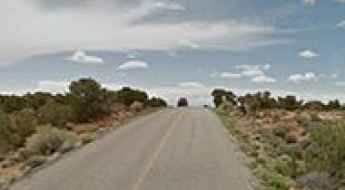
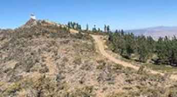
How to Drive High Park Road in Colorado?
High Park Road, also known as County Road 11, is a very scenic drive spanning Fremont and Teller counties in the U.S. state of Colorado.
Mount Davenport
Mount Davenport is a high mountain peak at an elevation of 2.853m (9,360ft) above the sea level, located in Catron County, in the U.S. state of New Mexico.
The Wild Road to Josephus Lake
Josephus Lake is a high mountain lake at an elevation of 2.150m (7,053ft) above the sea level, located in Custer County, in the center of the U.S. state of Idaho.
The Wild Road to Onyx Peak
Onyx Peak is a high mountain peak at an elevation of 2.782m (9,127ft) above the sea level, located in the southwestern part of San Bernardino County, in the US state of California.
How to get by car to the lookout at Thompson Peak in California?
Thompson Peak is a high mountain peak at an elevation of 2,366m (7,762ft) above sea level, located in the northeastern part of California, USA. Situated within the Plumas National Forest, the summit offers an extensive view of the surrounding Sierra Nevada range and the high desert of the Great Basin.
How long do points stay on a Florida driver's license?
In the state of Florida, driving is classified as a privilege, not a right. To manage the safety of its vast highway network, the Florida Department of Highway Safety and Motor Vehicles (FLHSMV) utilizes a graduated point system to track moving violations. Accumulating points on your record does more than increase insurance premiums; it serves as a primary metric for license suspension and revocation, effectively removing high-risk operators from the road.
The Ultimate Road Trip To Smith and Morehouse Reservoir in UT
Smith and Morehouse Reservoir is a high mountain reservoir at an elevation of 2.358m (7,736ft) above the sea level, located in Summit County, in the U.S. state of Utah.

How to Prepare for Safe Hiking in Yosemite National Park
Navigating the 750 miles of trails in Yosemite National Park and the surrounding Sierra National Forest requires a rigorous logistical approach to safety. Since 1972, the park has recorded 13 cases of unresolved disappearances, highlighting the technical risks of the high-altitude topography and volatile weather systems. Preventing Search and Rescue (SAR) incidents depends on a combination of precise route-finding, redundant communication systems, and a professional understanding of the environmental friction and thermal challenges of the wilderness.

Raft Lake
Raft Lake is a high mountain sub-alpine lake at an elevation of 3.390m (11,122ft) above the sea level, located in Wayne County, in south-central Utah, in USA. Altitude and extreme weather is always a factor at any time of year. It’s one of the highest roads of Utah.
South Tent Mountain
South Tent Mountain is a high mountain peak at an elevation of 3.157m (10,357ft) above the sea level, located in Sanpete County, in the U.S. state of Utah.

Carport Or A Garage: How To Choose A Better Option
When it comes to protecting your car, you have two main options: a carport or a garage. Both have their own advantages and disadvantages, which is why it can be difficult to decide which one is the best option for you. In this blog post, we will discuss the pros and cons of each option so that you can make an informed decision about what is best for your needs.
Turkey Gulch Road
Turkey Gulch Road is a challenging drive located in Clear Creek County, Colorado, in United States. The average gradient is 14,8%.
Meadow Peak
Meadow Peak is a high mountain peak at an elevation of 2.045m (6,709ft) above the sea level, located in Flathead County, Montana, in USA.
Why are some roads in the USA more dangerous than others?
The danger of a road in the United States is rarely where you expect it. While mountain passes with thousand-foot drops like the Million Dollar Highway grab the headlines, they often have fewer accidents than a boring, straight rural highway. The reason is simple: when a road looks lethal, you pay attention. The real killers are the "invisible" hazards—the roads that make you feel safe right before a tire blow-out or a patch of black ice sends you into the ditch.
How to drive the unpaved road to Spanish Peak in Nevada?
Spanish Peak is a high mountain peak located in Nye County, in the U.S. state of Nevada. West of the summit and unpaved road climbs up to 3.012m (9,881ft) above sea level. It’s one of the highest roads of Nevada.
Wooden Pole Powerline Road
Wooden Pole Powerline Road is a rough bumpy road located in the heart of Clark County, in the U.S. state of Nevada.
Potosi Mountain South
Located in the Spring Mountains of Clark County, in Nevada, Potosi Mountain South is a high mountain pass at an elevation of 2.491m (8,172ft) above the sea level.
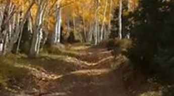
Success Summit
Success Summit is a high mountain peak at an elevation of 2.742m (8,996ft) above the sea level, located in White Pine County, along the central eastern boundary of the U.S. state of Nevada. On the ascent up to the pass, the traveler goes through groves of aspen trees.
Munkres Pass
Munkres Pass is a high mountain pass at an elevation of 2.881m (9,452ft) above the sea level, located in Johnson County, Wyoming, in USA.
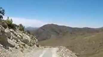
Coronet Drive: Driving the old mining road to 3,588m in Colorado
Coronet Drive is a high-altitude mountain road reaching an elevation of 3,588m (11,771ft) above sea level in Summit County, Colorado. Situated within the White River National Forest, this route offers a dramatic transition from a standard mountain drive to a technical off-road transit. Following the course of Pennsylvania Creek, the road serves as a primary link through the high country of the Rockies, where the legacy of old mining operations is visible in the rugged and unforgiving nature of the unpaved track.
Ultimate 4wd destination: Cronin Peak in Colorado
Cronin Peak is a high mountain peak located in Chaffee County, in the U.S. state of Colorado. An old mining trail west of the summit tops out at 3.914m (12,841ft) above sea level. It’s one of the highest roads of Colorado.
How to get by car to Telegraph Peak in White Pine County?
Telegraph Peak is a high mountain peak at an elevation of 2,861m (9,386ft) above sea level, located in White Pine County, in the U.S. state of Nevada.
How to get by car to Ryan Brothers Lake in Wyoming?
Ryan Brothers Lake is a high mountain lake at an elevation of 3,181m (10,436ft) above sea level, situated in Carbon County, Wyoming. This area features one of Wyoming's highest roads to a remote alpine lake.
Road trip guide: Conquering Castle Butte in ID
Castle Butte is a high mountain peak at an elevation of 2.032m (6,666ft) above the sea level, located in Idaho County, in the US state of Idaho.
Secret Pass: A Desert 4x4 Adventure in Arizona's Black Mountains
Secret Pass is a mountain pass at an elevation of 1,070m (3,510ft) above sea level, located in Mohave County, in the US state of Arizona. Tucked away in the rugged Black Mountains, west of Kingman, this unpaved route offers a true Mojave Desert experience through one of the most remote corners of the American Southwest.
Battle Mountain
Battle Mountain is a high mountain peak at an elevation of 3.503m (11,492ft) above the sea level, located in Eagle County, in the U.S. state of Colorado.
Fawn Creek Pass
Fawn Creek Pass is a high mountain pass at an elevation of 3.105m (10,186ft) above the sea level located in the Grand County, in Colorado, USA.

5 Tips for Buying a Vehicle for Off-Road Adventures in the USA
Operating a vehicle on high-consequence technical roads across the United States requires a platform that prioritizes structural integrity over aesthetic appeal. The distinction between a standard crossover and a dedicated expedition vehicle is defined by its mechanical architecture: chassis type, drivetrain configuration, and low-range capabilities. For the overlander, selecting the right platform is the most critical decision in risk mitigation, ensuring the vehicle can withstand the torsional stress of uneven terrain and the abrasive nature of unpaved surfaces.
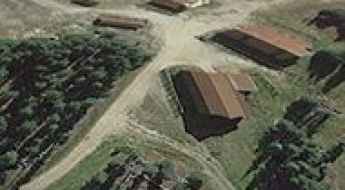
Vanderbilt
Vanderbilt is a mining ghost town located in Eureka County, in the western state of Nevada, in USA. The rough road to the town, also known as Geddes, is gravel and sandy. Visiting Vanderbilt today is a unique experience. One day the road can be ‘smooth and easy to drive’, the next, it can be full of washboards.

Chicago’s Top Attractions and Must-See Experiences
Chicago, Illinois, stands as one of the most culturally significant and architecturally complex cities in the United States. Known for its striking skyline and vibrant arts scene, the city also presents a unique challenge for drivers, from the congested "L" train corridors to the high-speed transit of the Lake Shore Drive. Whether you are visiting for its history or its world-class museums, understanding the city's grid and traffic flow is essential for any traveler.
A very bumpy road to Cerro Pelado
Cerro Pelado is a high mountain peak at an elevation of 3.085m (10,121ft) above the sea level, located in Sandoval County, in northern New Mexico, USA. It’s one of the highest roads of New Mexico.
Devils Head
Devils Head is a lava dome at an elevation of 2.786m (9,140ft) above the sea level, located in Coconino County, in the north central part of the U.S. state of Arizona. It’s one of the highest mountain roads of Arizona.
Dead Man's Peak
Dead Man's Peak is a high mountain peak at an elevation of 2.682m (8,799ft) above the sea level, located in Rio Arriba County, New Mexico, in USA.
How to drive the unpaved NF-20 Road to Grouse Creek Gap in Oregon
Grouse Creek Gap is a high mountain pass at an elevation of 2.020m (6,640ft) above sea level, located in Jackson County, in the U.S. state of Oregon.
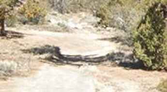
Teller County Road 1 is a 5-star road in Colorado
Teller County Road 1, also known as Teller 1, is a very scenic drive located in Teller County, in the U.S. state of Colorado.