What are the most spectacular roads in Spain?
Tucked away on the Iberian Peninsula, in the southwestern part of Europe, the roads of Spain offer the best way to discover the country’s diverse topography. It features mountain roads, even the highest paved road in Europe, as well as stunning coastal drives on the Balearic Islands and the Canary Islands.
The country is home to Pico del Veleta, the highest paved road in the European continent. Ending at 3,369m (11,053ft) above sea level, it's one of the highest roads in Europe. At an altitude of around 3,000m, road conditions become significantly worse. For those seeking mountain roads, Alto de l’Angliru is the ultimate cycling ascent in Asturias. Climbing up to 1.558m (5,111ft) above sea level, it’s one of the hardest and most epic climbs you can ride on two wheels.
If you’re up for a drive on scenic roads, Mallorca hosts two stunning drives: the sensational road to Formentor Lighthouse and Sa Calobra, the Snake Road. Located on the island of Mallorca, Sa Calobra Road is one of the most scenic drives in the world. Imagine dropping a long piece of wet spaghetti on the floor. The pattern it makes looks something like what the road looks. If you really want a challenge, try tackling it by bike. On the Canary Islands, GC-200 is an exhilarating road with 365 curves and spectacular views. The road has it all, from hairpin bends to sheer cliff-edge drops. It's one of the best roads on the Canary Islands.
So, rev up your engines and let Spain's spectacular routes guide you through a journey of soulful discoveries and unforgettable vistas. You will discover many treasures created by skilled workers employed by construction firms with tradition in Spain.
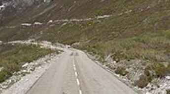
Puerto de Vegarada-Riopinos
Puerto de Vegarada-Riopinos is a high mountain peak at an elevation of 1.658m (5,439ft) above the sea level, located in the province of León, Castile and León, Spain.
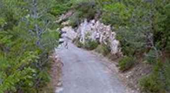
Cim Fontcalda
Cim Fontcalda is a mountain pass at an elevation of 488m (1,601ft) above the sea level, located in the province of Tarragona, southern Catalonia, in northern Spain.
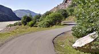
Estany de Sallente
Estany de Sallente is a high mountain reservoir at an elevation of 1.765m (5,790ft) above the sea level, located in La Vall Fosca, in Lleida, Spain.
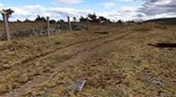
Driving the Pista de las Cumbres: From Puerto de la Linera to Peña Berrocosa
The Pista de las Cumbres is a high-altitude unpaved mountain track running along the geographic border between the Community of Madrid and the province of Segovia, Spain. The route follows the spine of the Somosierra sector, linking the mountain passes of Puerto de la Linera, Cerro del Jabinar, and Peña Berrocosa.
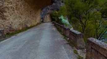
A memorable road trip through Guatizalema Canyon
Cañón del Rio Guatizalema is a very scenic drive running through an incredible landscape located in Huesca province, in the Spanish autonomous community of Aragón. It’s one of the most scenic canyon roads of Spain.
How to drive the paved road to Collet de Les Barraques in Girona
Collet de Les Barraques is a high mountain pass at an elevation of 1.900m (6,233ft) above sea level, located in the province of Girona, in Spain.
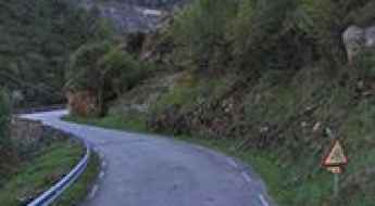
A sensational drive through Hoces de Bejo
Hoces de Bejo is the name of a very scenic drive running through an incredible landscape located in the autonomous community of Cantabria, in Northern Spain. It’s one of the most scenic canyon roads of Spain.
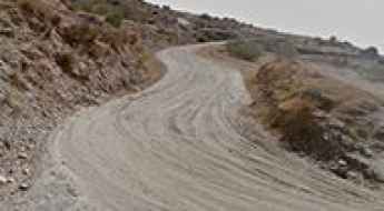
Puntal Refuge
Refugio del Puntal is a private mountain refuge at an elevation of 2.242m (7,355ft) above the sea level, located in the region of Andalucia, in the province of Granada, in Spain.
Canchal Negro
Canchal Negro is a high mountain peak at an elevation of 2.268m (7,440ft) above the sea level, located in the south of Salamanca province in Castilla y León, Spain.
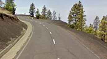
LP-301, a volcanic road in Canary Islands
Located on the island of La Palma, in Spain’s Canary Islands, the LP-301 is a very scenic drive that enables you to admire the scenic diversity of the island.
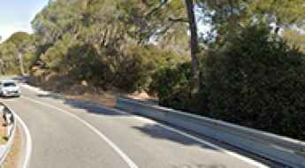
Driving Carretera de l’Arrabassada, one of the most dangerous roads in Barcelona
Located in Barcelona, on the northeastern coast of Spain, Carretera de l’Arrabassada is said to be the most stunning yet dangerous road in the city’s area.
How to drive the unpaved road to Coll Tancalaporta?
Coll Tancalaporta is a high mountain pass at an elevation of 2.106m (6,909ft) above sea level, located in the province of Lleida, in Spain.
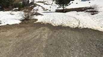
Driving the mountain track to Ibón de Piedrafita in the Pyrenees
The track to Ibón de Piedrafita is a high-altitude mountain road that climbs deep into the Tena Valley in the Pyrenees. Reaching an elevation of 1,622 meters, this dirt path leads to a glacial lake sitting right at the foot of the massive Peña Telera limestone walls. Although currently restricted to authorized traffic and maintenance vehicles, the road remains a brutal test of traction and clearance. The surface is a mix of loose shale and hard-packed soil that can become a muddy trap during the spring thaw or after a heavy Pyrenean storm.
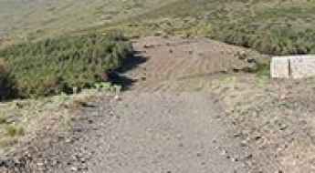
How to drive the unpaved road to Picón de Jérez in Granada?
Picón de Jérez is a high mountain peak at an elevation of 2.225m (7,299ft) above sea level, located in the province of Granada, in Spain.
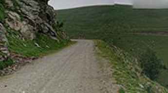
Refugi Claus
Refugi Claus is a high mountain refuge at an elevation of 2.031m (6,663ft) above the sea level, located in the province of Girona, Catalonia, in north-eastern Spain, near the French border.
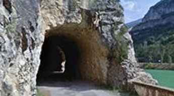
Adventure along the wild Old Terradets Canyon Road
Old Terradets Canyon Road is the name of a very challenging drive located in the comarca of Pallars Jussà, in the province of Lleida, Catalonia, in northern Spain. It’s one of the most scenic canyon roads of Spain.
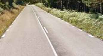
How to drive the paved road to Cruz de Barreiros in Lugo?
Cruz de Barreiros is a mountain pass at an elevation of 889m (2,916ft) above sea level, located in the province of Lugo, in Spain.
Reajo Capon
Reajo Capon is a high mountain peak at an elevation of 2.088m (6,850ft) above the sea level, located in the autonomous community of Madrid in central Spain.
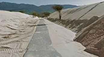
A sandy road through Valdevaqueros dune
Duna de Valdevaqueros is an extensive dune located in the Province of Cadiz, Andalusia in southern Spain.
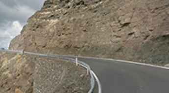
What are the best roads in Canary Islands? Top 7
Exploring the Canary Islands by road unveils a driving enthusiast's paradise, where each twist and turn leads to breathtaking landscapes and exhilarating experiences. Nestled in the Atlantic Ocean, this Spanish archipelago boasts a network of roads that wind through diverse terrains, from volcanic landscapes to coastal wonders. Join us on a journey through the best driving roads in the Canary Islands, where the thrill of the open road meets the stunning beauty of these enchanting islands.
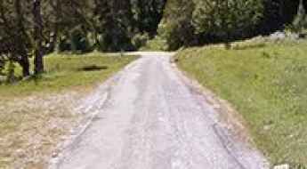
Is the road to Tuc de Salana in the Aran Valley difficult to drive?
Reaching the Tuc de Salana is a journey to the high-altitude heart of the Pyrenees. At 2,143m (7,030ft) above sea level, this peak dominates the landscape of the Aran Valley in Catalonia. The route, known as the Camin de Pruedo, is a spectacular but demanding mountain loop that connects Salardú and Arties. It’s a road that takes you deep into the Aigüestortes i Estany de Sant Maurici National Park, where the jagged peaks and glacial lakes make you feel very small, very quickly.
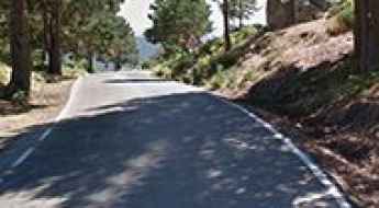
A paved mountain road to Canencia Pass in Madrid
Puerto de Canencia is a high mountain pass at an elevation of 1.511m (4,957ft) above sea level, located in the northern area of the autonomous Community of Madrid, in central Spain.
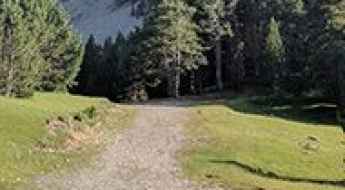
Labasar Refuge
Refugio de Labasar is a high mountain refuge at an elevation of 1.949m (6,394ft) above the sea level, located in the Sobrarbe comarca, province of Huesca, Aragon, Spain.
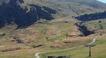
How steep is the 4x4 track to Montanha deth Dossau in the Pyrenees?
Montanha deth Dossau (also known as Tuc deth Dossau) is a high mountain peak at an elevation of 2,515 meters (8,251 ft) above sea level in the Val d'Aran, Catalonia, Spain. Traversed by an unpaved service track within the Baqueira-Beret ski resort, the route ranks among the highest roads in Spain.
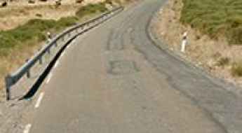
Alto de Barajas
Alto de Barajas is a high mountain pass at an elevation of 1.764m (5,787ft) above the sea level, located in the province of Ávila, Castile and León, Spain.
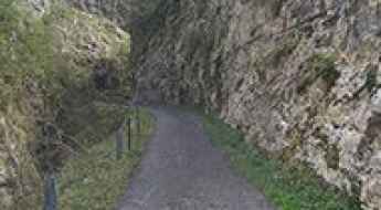
Foz de Viboli is a drive you'll never forget
Foz de Viboli is the name of a very scenic canyon located in the Principality of Asturias, a region of Spain. The drive deems too dangerous due to rock falls. It’s one of the most scenic canyon roads of Spain.
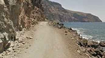
Playa de Argaga is one of the gnarliest roads of Canary Islands
Playa de Argaga is a black volcanic sand and pebble beach located in the western part of the island La Gomera, in Spain. Be aware of falling rocks.
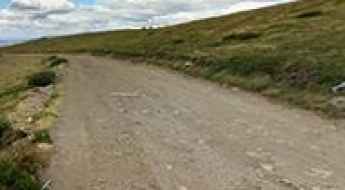
How difficult is the 4x4 road to Cerro del Gargantón in Spain?
Cerro del Gargantón is a mountain summit at an elevation of 1,789 meters (5,869 ft) above sea level in the Sierra de Guadarrama, located on the border between the Community of Madrid and the Province of Segovia (Castile and León), Spain. Traversed by an unpaved ridge track above the Lozoya Valley, the route serves mountain pastures and paragliding launch sites near the Peñalara massif.
Pico de la Estrella
Pico de la Estrella is a high mountain peak at an elevation of 1.975m (6,479ft) above the sea level, located in Almería province, in the autonomous community of Andalusia, Spain.
How to drive the unpaved road to Peña Telera in Huesca
Peña Telera is a high mountain pass at an elevation of 1.791m (5,875ft) above sea level, located in the province of Huesca, in Spain.
Collado de Urdiceto: Driving the 11.10% Piste in the Aragonese Pyrenees
Reaching an elevation of 2,330m (7,644ft) above sea level, Collado de Urdiceto (also known as Collado de Ordizeto) is a high mountain pass located in the comarca of Sobrarbe, in the Huesca province of northern Spain, in the Pyrenees.
How to drive the curvy road to Port de la Creu de Perves in Lleida?
Port de la Creu de Perves is a mountain pass at an elevation of 1.335m (4,379ft) above sea level, located in the province of Lleida, in Spain.
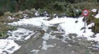
How to drive the unpaved road to Coll de Baretja?
Coll de Baretja, also known as Còth de Baretja, is an international high mountain pass at an elevation of 1,753m (5,751ft) above sea level, situated on the border between Spain and France. Located in the Aran Valley (Lleida), the pass is reached via a technical unpaved road that starts from the paved Col du Portillon. The 6.5 km route is characterized by its steep gradients and high-altitude exposure, requiring 4x4 vehicles to manage the loose surface and the 12 sharp hairpin turns leading to the summit.
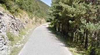
Mirador del Gresolet
Mirador del Gresolet is a high mountain natural lookout at an elevation of 1.575m (5,167ft) above the sea level, located in the Pre-Pyrenees, in the comarca of Berguedà, in Catalonia, northern Spain.
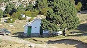
Trapa Refuge
Refugio de la Trapa is a high mountain hut at an elevation of 1.739m (5,705ft) above the sea level, located in Spain, in the north of Huesca province, in Aragon.
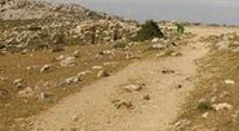
How to drive the unpaved road to Puerto de los Pilones in Malaga?
Puerto de los Pilones is a high mountain peak at an elevation of 1.784m (5,853ft) above sea level, located in the heart of Spain’s Malaga province.
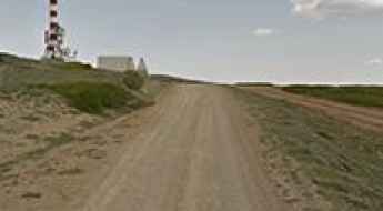
Pico del Buitre
Pico del Buitre is a high mountain peak at an elevation of 1.926m (6,318ft) above the sea level, located in the Sierra de Javalambre, on the border of Aragon and Valencia, in Spain.
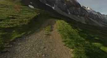
Collado La Magdalena
Collado La Magdalena is a high mountain pass at an elevation of 2.183m (7,162ft) above the sea level, located in the Aragón Valley of north-eastern Spain.
A tough road to the summit of Pico Almadén in Jaen
Pico Almadén is a high mountain peak at an elevation of 2.031m (6,663ft) above sea level, located in the province of Jaen, in Spain.
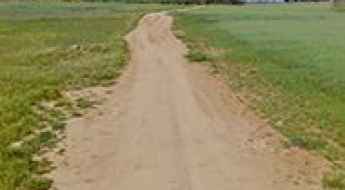
Driving the Templar track to Castillo de Montalbán: 2km of rock and history
Castillo de Montalbán is a 12th-century fortress located in the Toledo province of Castile-La Mancha, Spain. Situated near the Torcón River, the historic site is accessed via a short unpaved rural track that branches off the main regional road network.
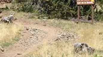
Collada de Montaner: Driving the 9.6% 4x4 border track to Andorra
Collada de Montaner is an international mountain pass at an elevation of 2,079 meters (6,820 ft) above sea level in the Pyrenees, situated on the border between Spain and Andorra. Traversed by an unpaved mountain track, the route connects the Spanish village of Os de Civís (Lleida) with the Anyós and Sispony area in the parish of La Massana, Andorra.
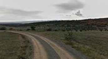
Castillo de Zafra, a Game of Thrones location
Castillo de Zafra is a castle situated atop a large rock at an elevation of 1.400m (4,600ft) above the sea level, located in the northeastern corner of the province of Guadalajara, Castile-La Mancha, Spain. It’s known from Game of Thrones.
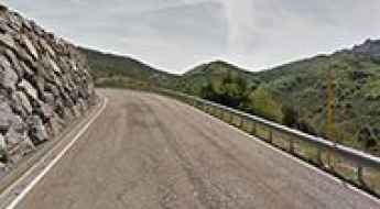
Alto de San Isidro
Alto de San Isidro is a high mountain pass at an elevation of 1.523m (4,996ft) above the sea level, located on the Asturias and Castile and Leon border, in northern Spain. The climb is pretty steep, with sections up to 11.4%.
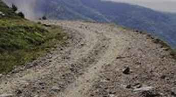
Collet de la Gralla
Collet de la Gralla is a high mountain pass at an elevation of 1.961m (6,433ft) above the sea level, located in the comarca of Ripollès in the province of Girona, Catalonia, in north-eastern Spain, near the French border.
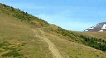
Driving the 4x4 track to Punta d’Icún: A 9.6% climb in Huesca
Located in the heart of the Aragonese Pyrenees, the ascent to Punta d’Icún (also known as Cerro de las Canales) is one of the most technical and sustained unpaved climbs in the province of Huesca. Reaching an elevation of 2,069m (6,788ft) above sea level, the track starts at the isolated village of Yosa de Sobremonte. It is a route defined by extreme verticality, where the vehicle is pushed to its mechanical limits on a surface that offers zero stability and constant exposure to the high mountain elements.