What are the most spectacular roads in Spain?
Tucked away on the Iberian Peninsula, in the southwestern part of Europe, the roads of Spain offer the best way to discover the country’s diverse topography. It features mountain roads, even the highest paved road in Europe, as well as stunning coastal drives on the Balearic Islands and the Canary Islands.
The country is home to Pico del Veleta, the highest paved road in the European continent. Ending at 3,369m (11,053ft) above sea level, it's one of the highest roads in Europe. At an altitude of around 3,000m, road conditions become significantly worse. For those seeking mountain roads, Alto de l’Angliru is the ultimate cycling ascent in Asturias. Climbing up to 1.558m (5,111ft) above sea level, it’s one of the hardest and most epic climbs you can ride on two wheels.
If you’re up for a drive on scenic roads, Mallorca hosts two stunning drives: the sensational road to Formentor Lighthouse and Sa Calobra, the Snake Road. Located on the island of Mallorca, Sa Calobra Road is one of the most scenic drives in the world. Imagine dropping a long piece of wet spaghetti on the floor. The pattern it makes looks something like what the road looks. If you really want a challenge, try tackling it by bike. On the Canary Islands, GC-200 is an exhilarating road with 365 curves and spectacular views. The road has it all, from hairpin bends to sheer cliff-edge drops. It's one of the best roads on the Canary Islands.
So, rev up your engines and let Spain's spectacular routes guide you through a journey of soulful discoveries and unforgettable vistas. You will discover many treasures created by skilled workers employed by construction firms with tradition in Spain.
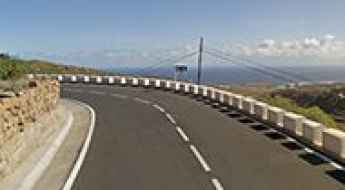
Carretera Vieja (TF-28 Road)
TF-28, nicknamed as Carretera Vieja (the Old road) is one of the most iconic drives on the island of Tenerife, in Spain’s Canary Islands.
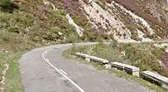
Puerto de la Cubilla: The Ultimate Road Trip Guide
Puerto de la Cubilla is a high mountain pass at an elevation of 1.692m (5,551ft) above sea level, located in Spain. The climb is known as the Spanish Galibier.
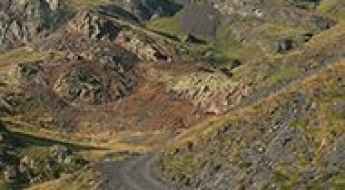
Mines de Liat
Mines de Liat is an abandoned mine located in the Val de Toran, in Val d'Aran, a valley in the Pyrenees mountains in the northwestern part of the province of Lleida, in Catalonia, northern Spain.
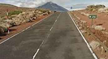
How to drive the high-altitude TF-24 to Corral del Niño in Tenerife?
Corral del Niño is a high-altitude volcanic pass at an elevation of 2,305m (7,562ft) above sea level, located in Teide National Park on the island of Tenerife, in Spain. The route follows the TF-24 road along the island's central ridge towards the Teide Observatory.
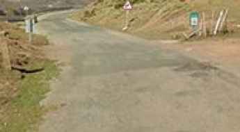
Road to Puerto de Peña Hincada: Driving the 1,414m Pass in La Rioja
The Puerto de Peña Hincada is a high-altitude mountain pass in the La Rioja region of northern Spain, reaching an elevation of 1,414m (4,639ft). Located within the Sierra de Cebollera Natural Park, this 22.1 km paved route is a critical secondary link between the valleys of the Iregua and Najerilla rivers, crossing the rugged terrain of the Cameros mountains.
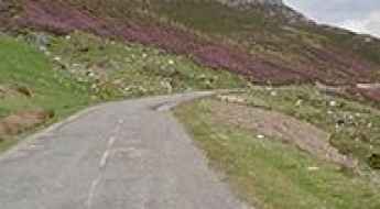
An iconic road to Puerto de Vegarada
Puerto de Vegarada is a high mountain pass at an elevation of 1.555m (5,101ft) above the sea level, situated between Asturias and León province, in north-western Spain.
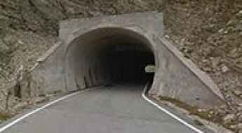
Driving the paved road to Puerto de Larrau
Puerto de Larrau is an international high mountain pass at an elevation of 1.615m (5,298ft) above the sea level, on the French-Spanish border in the western Pyrenees.
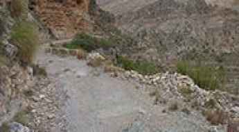
Júcar cliff canyon: The Ultimate Road Trip Guide
Júcar cliff canyon is the name of a very challenging drive located in the Valencian Community of Spain. Be careful: this road is not for the sissies. One mistake can have consequences. It’s one of the most scenic canyon roads of Spain.
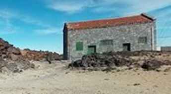
Driving the high altitude track to Montaña Rajada in Tenerife
Montaña Rajada is a massive volcanic dome that rises to 2,463 meters above sea level in the heart of Tenerife. This is one of the highest tracks you can drive in Spain, cutting through the raw, lunar landscape of the Teide National Park. The road is a service track for the weather observatory at the summit and remains closed to private motor vehicles, but it stands as a prime example of high-altitude driving on volcanic terrain. The ground is composed of loose pumice and volcanic ash, a surface that can easily swallow a vehicle's wheels if you don't have the right tires and enough momentum.
The steep road to Vallter 2000, the roof of Catalonia
Vallter 2000 is a ski resort at an elevation of 2.156m (7,073ft) above the sea level, located in Girona, in Spain.
A paved road to the iconic La Mussara
La Mussara is a mountain pass at an elevation of 963m (3,159ft) above the sea level, located within the Prades mountain range, in the province of Tarragona, in Catalonia, Spain. The road to the summit is a classic stage on WRC championship and Volta a Catalunya bicycle race.
Driving the hairpinned Road T-704 in Prades
T-704 is a paved mountain road located in the province of Tarragona, southern Catalonia in Spain. The road features more than 30 hairpin turns and has been used in the WRC Rally Catalunya.
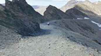
How to drive the high mountain road to Alto del Chorrillo in Granada?
Alto del Chorrillo is a high mountain summit reaching 2,691 meters (8,828 ft) above sea level in the Sierra Nevada range, located in the province of Granada, Spain. This point is home to one of the highest mountain roads in Spain. Known as the Camino de los Franceses or Camino del Mulhacén, this track was once a legendary 4x4 route linking Capileira with the Veleta peak. Today, it remains a brutal test of endurance in a high-alpine desert where the air is thin, the wind is relentless, and the track surface is a chaotic mix of loose gravel and jagged rocks that define the rugged character of Andalusia's highest peaks.
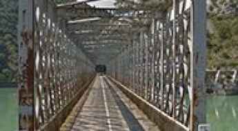
Crossing the scenic Puente del Embalse de la Peña
Puente del Embalse de la Peña is an iron bridge located in the autonomous community of Aragon in Spain. It’s one of the most spectacular bridges in the world.
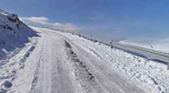
A paved road to Alto de la Pandera
Alto de la Pandera is a high mountain pass at an elevation of 1.840m (6,036ft) above the sea level, located in the province of Jaén in the autonomous community of Andalusia in south-central Spain.
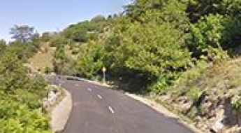
A delightful yet challenging road to Puerto de Piedrasluengas
Puerto de Piedrasluengas is a mountain pass at an elevation of 1.355m (4,445ft) above sea level, located in the province of Palencia, in Spain.
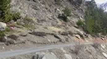
How to drive the unpaved road to Biadós Refuge in Huesca?
Refugio de Biadós is a high mountain refuge at an elevation of 1.779m (5,836ft) above sea level, located in the province of Huesca, in Spain.
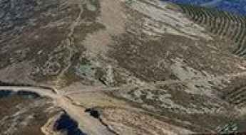
How to drive the unpaved road to Monte San Lorenzo?
Monte San Lorenzo is a high mountain peak at an elevation of 2.137m (7,011ft) above sea level, located in the autonomous community of La Rioja, in Spain.
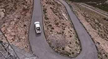
Driving the road to Tetica de Bacares is not a piece of cake
Tetica de Bacares is a high mountain peak at an elevation of 2.050m (6,725ft) above sea level, located in the province of Almería in Spain.
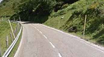
A paved road to Puerto de Tarna in Cordillera Cantábrica
Puerto de Tarna is a high mountain pass at an elevation of 1.492m (4,895ft) above the sea level, located on the boundary between the northwestern part of the autonomous community of Castile and León and the autonomous community of Asturias, in northern Spain.
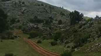
Driving the dirt track to Mirador de Juan León in Cazorla
The road to Mirador de Juan León is a rugged mountain track that cuts through the heart of the Sierras de Cazorla, Segura and Las Villas Natural Park. Reaching an elevation of 1,733 meters, this is one of the highest points you can drive to in the province of Jaén, in Spain. The track is entirely unpaved, with hard-packed dirt and loose limestone rocks that will challenge the suspension of any vehicle. This is deep Andalusia, where the heat and the dust make every kilometer feel much longer for both the driver and the machine.
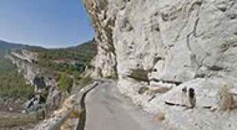
Driving the scenic Puente de Montañana-Alsamora Road
Carretera Puente de Montañana-Alsamora is a very scenic drive located on the border of Aragón and Catalonia, in northern Spain. It’s a balcony road running along the river Noguera Ribagorçana. It’s one of the most scenic canyon roads of Spain.
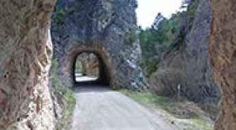
How to drive the paved road through Puerta del Infierno in Cuenca?
Puerta del Infierno is a narrow canyon passage on the CUV-9031 road, located in the Province of Cuenca, Castile-La Mancha, Spain. Built in 1925, the paved route runs along the Escabas River canyon between Cañamares and Fuertescusa, passing through natural rock arches and unlit hand-carved tunnels. It’s one of the most scenic canyon roads of Spain.
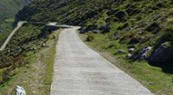
The breathtaking road to Salto de la Cabra
Salto de la Cabra is a mountain pass at an elevation of 1.109m (3,638ft) above the sea level, located in the autonomous community of Cantabria, in northern Spain. The climb is simply terrible, hitting an 18% of gradient.
Tossa d'Alp
Tossa d’Alp is a high mountain peak at an elevation of 2.535m (8,316ft) above the sea level, located in Catalonia, in northern Spain. It’s one of the highest roads of the country.
A wild narrow road to Santuari de la Mare de Déu del Mont
Santuari de la Mare de Déu del Mont is a mountain sanctuary at an elevation of 1.123m (3,684ft) above the sea level, located in the Alta Garrotxa natural region, in Girona, Catalonia, Spain. It’s one of the toughest climbs of the area. Gradients in the last 2.5km hit an average of 9.2% with pitches up to 14%.
How to drive the unpaved road to Pico del Chullo in Andalusia
Pico del Chullo is a high mountain peak at an elevation of 2.520m (8,267ft) above sea level, located in Andalusia, in Spain. It's one of the highest roads in the country.
How to drive the iconic Puerto del Tremedal in Ávila?
Puerto del Tremedal is a high mountain pass at an elevation of 1,642m (5,387ft) above sea level, located in the province of Ávila, Castile and León, in central Spain. This pass is a classic ascent in the Sierra de Gredos, known for its cycling heritage and demanding slopes.
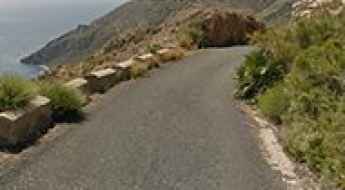
How to drive the narrow road to Cabo Tiñoso in Murcia
Cabo Tiñoso is a very scenic cape located on the coastline of the Region of Murcia, in Spain. It is not a road for drivers of a nervous disposition.
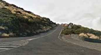
Driving to the Teide Observatory: A journey above the clouds in Tenerife
The Observatorio Astronómico del Teide is not just a world-class scientific site; it is one of the most spectacular driving destinations in Spain. Perched at an elevation of 2,397m (7,864ft) above sea level on the island of Tenerife, the road offers drivers the sensation of traveling through a lunar landscape far above the Atlantic clouds.
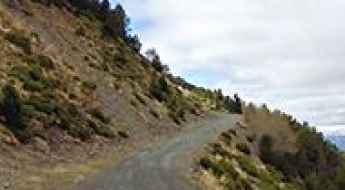
How to get to Tossa del Pas dels Lladres in the Pyrenees?
Tossa del Pas dels Lladres is an international high mountain pass at an elevation of 2,621 m (8,599 ft) above sea level, located on the French-Spanish border. It’s one of the highest roads of the country.
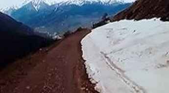
Driving the intense and steep Pista de Chía in the Pyrenees
Pista de Chía is a high mountain road reaching an elevation of 2,028 meters (6,653 ft) above sea level in the Huesca province of Aragon, Spain. Connecting the villages of Chía and Plan, this track is a brutal link between the Benasque and Gistain valleys. This isn't a route for casual touring; it’s a high-consequence mountain drive where the asphalt gives way to loose gravel and steep concrete ramps. Driving here means managing your vehicle through 24.1 kilometers of unrelenting vertical gain, where the thin air and the narrow ledge sections demand a high-clearance vehicle and a driver prepared for the raw reality of the Pyrenees.
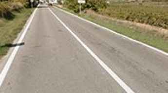
Penedes Wine Road is well worth the time
Carretera del Vi (Wine Road) is a very scenic drive located in the Penedès zone, in Catalonia, Spain. This oeno-touristic attraction, with a high historical and cultural value, allows wine lovers to get acquainted with the ancient route that linked together the vineyards in the Penedès and the beaches of Garraf.
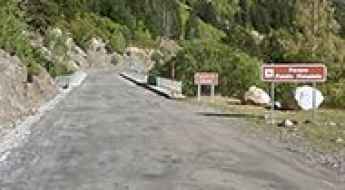
Road trip guide: Conquering the Besurta Refuge
Refugio de la Besurta is a high mountain refuge at an elevation of 1.920m (6,299 ft) above the sea level, located in the comarca of Ribagorza, province of Huesca, in northern Spain.
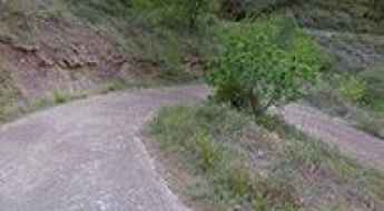
Is the road to Pic d'Espadà in Castelló difficult to drive?
Reaching the Pic d'Espadà is a journey into one of the wildest corners of the Valencian Community. At 915m (3,001ft) above sea level, this peak in the heart of the Serra d'Espadà Natural Park offers some of the most rugged driving in the province of Castellón. The route, known locally as the Camino de Ibola, is a high-altitude track that trades the Mediterranean breeze for the smell of pine resin and the sound of gravel crunching under your tires.
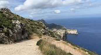
La Trapa: Driving the steep unpaved track in the Tramuntana
La Trapa is a former monastery at an elevation of 359m above sea level, located on the southwest coast of Mallorca, Spain. Situated in the Serra de Tramuntana, the access road is a rugged, unpaved track that climbs through the Sant Josep valley. The route is characterized by extreme exposure, loose limestone surfaces, and sections where the track is physically won from the cliffside, overlooking the island of Sa Dragonera.
Ruta Jubierre: offroad in the Monegros Desert
Ruta Jubierre is a very scenic offroad experience in the Monegros comarca province of Huesca, Aragon, in northeastern Spain.
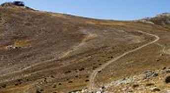
How to drive the unpaved road to Pico del Lobo
Pico del Lobo is a high mountain peak at an elevation of 2.242m (7,355ft) above sea level, located on the border of Castile and León and Castile-La Mancha, in Spain.
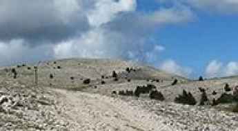
Driving the rugged 4x4 track to Pedró dels Quatre Batlles
Pedró dels Quatre Batlles is the highest peak in the Port del Comte massif, sitting at an elevation of 2,387 meters above sea level in the province of Lleida, Catalonia. It is a brutal test for any 4x4 vehicle. The road to the summit is a raw, rocky track that cuts through alpine meadows and high forests, offering no protection from the elements. Driving here is an exercise in gear selection and line choice, as the limestone rocks are jagged and the incline is relentless until you reach the very top of the ridge.
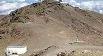
Observatorio de Sierra Nevada
Observatorio de Sierra Nevada (OSN) is a high mountain observatory at an elevation of 2.885m (9,465ft) above the sea level, located in the region of Andalusia, province of Granada, in Spain.
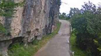
How to drive the brutally narrow road to Santuari de Santa Maria de Montgrony
Santuari de Santa Maria de Montgrony is a high mountain sanctuary at an elevation of 1.408m (4,619ft) above sea level, located in the province of Girona, in Spain.
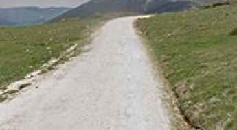
Alto de Trobaniello: The brutal 17km unpaved climb in Asturias
Alto de Trobaniello is a mountain pass at an elevation of 1,625 meters (5,331 ft) above sea level, located in the Las Ubiñas-La Mesa Natural Park in Asturias, Spain. Known locally as the Pista de Ricabo al Alto de Ventana, the 17-kilometer route connects Santa Marina in the Quirós valley with the summit ridge leading toward Puerto de Ventana.
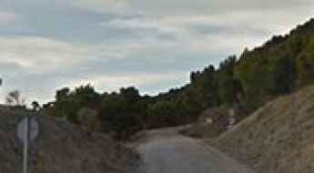
Is the unpaved road to Pico de Cabañas suitable for all vehicles?
Pico de Cabañas is a high mountain peak at an elevation of 2,028m (6,653ft) above sea level, located in the province of Jaén, Andalusia. Situated within the Sierras de Cazorla, Segura y Las Villas Natural Park, the summit is one of the highest points you can reach by car in southern Spain. The access is a long, unpaved forest track built for the fire lookout tower that sits at the very top.
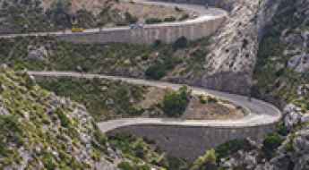
What are the best roads in Mallorca? Top 5
Beyond its famous beaches, Mallorca hides some of the most technical and scenic mountain roads in the Mediterranean. The Serra de Tramuntana, a UNESCO World Heritage site, acts as a cathedral for driving enthusiasts, offering a mix of high-altitude engineering, dizzying coastal drops, and perfect asphalt. From the iconic "Tie Knot" to the wild northern cliffs, here is the ultimate selection for your Mallorcan road trip.
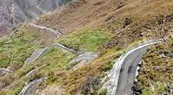
How to get by car to Alto de la Cruz in Leon?
Alto de la Cruz is a high mountain pass at an elevation of 1.475m (4,839ft) above sea level, located in the province of León, in Spain.