What are the most spectacular roads in Spain?
Tucked away on the Iberian Peninsula, in the southwestern part of Europe, the roads of Spain offer the best way to discover the country’s diverse topography. It features mountain roads, even the highest paved road in Europe, as well as stunning coastal drives on the Balearic Islands and the Canary Islands.
The country is home to Pico del Veleta, the highest paved road in the European continent. Ending at 3,369m (11,053ft) above sea level, it's one of the highest roads in Europe. At an altitude of around 3,000m, road conditions become significantly worse. For those seeking mountain roads, Alto de l’Angliru is the ultimate cycling ascent in Asturias. Climbing up to 1.558m (5,111ft) above sea level, it’s one of the hardest and most epic climbs you can ride on two wheels.
If you’re up for a drive on scenic roads, Mallorca hosts two stunning drives: the sensational road to Formentor Lighthouse and Sa Calobra, the Snake Road. Located on the island of Mallorca, Sa Calobra Road is one of the most scenic drives in the world. Imagine dropping a long piece of wet spaghetti on the floor. The pattern it makes looks something like what the road looks. If you really want a challenge, try tackling it by bike. On the Canary Islands, GC-200 is an exhilarating road with 365 curves and spectacular views. The road has it all, from hairpin bends to sheer cliff-edge drops. It's one of the best roads on the Canary Islands.
So, rev up your engines and let Spain's spectacular routes guide you through a journey of soulful discoveries and unforgettable vistas. You will discover many treasures created by skilled workers employed by construction firms with tradition in Spain.
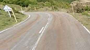
A memorable road trip to Puerto de Somiedo
Puerto de Somiedo is a high mountain pass at an elevation of 1.485m (4,872ft) above the sea level, located in the Cordillera Cantábrica, a mountain range in northern Spain.
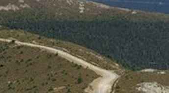
Cerro Gatón: Driving the steep 4x4 track in Sierra de la Demanda
Reaching an elevation of 1,911m (6,269ft) above sea level, Cerro Gatón is one of the most prominent peaks in the Sierra de la Demanda, located in the autonomous community of La Rioja, Spain. The road to the summit is a demanding mountain track that offers a wild, high-altitude experience, far removed from the paved regional networks.
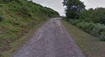
The inhumane climb to Collado Fancuaya with 16% ramps
Collado Fancuaya is a high mountain pass at an elevation of 1.088m (3,569ft) above sea level, located in the Autonomous Community of the Principality of Asturias, in Spain.
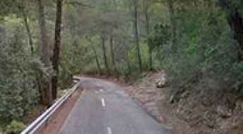
The road to Coll d’Honor is a hidden gem in Mallorca
Coll d’Honor is a mountain pass at an elevation of 565m (1,853ft) above sea level, located on the northern part of the island of Mallorca, in the Balearic Islands, in Spain.
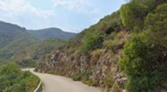
How to drive the paved road to Central Hidroelectrica de Millares II in Valencia
Central Hidroelectrica de Millares II is a hydroelectric power station located in the Xúquer river, in the province of Valencia, in Spain.
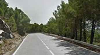
How to drive the paved road to Puerto El Madroño in Malaga
Puerto El Madroño is a mountain pass at an elevation of 1.063m (3,487ft) above sea level, located in the province of Málaga, in Spain.
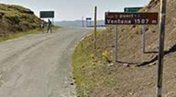
A paved road to the iconic Puerto de Ventana
Puerto de Ventana is a high mountain pass at an elevation of 1.587m (5,206ft) above the sea level, located in the Cordillera Cantábrica, a mountain range in northern Spain.
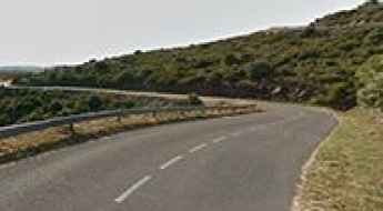
Road GIP-6041
GIP-6041 is one of the most scenic roads on the Catalan Costa Brava, in Spain. The road inland offers lovely views of the region.
Lagunas de Neila, an iconic Vuelta a España climb
Lagunas de Neila is a high mountain glacial lake at an elevation of 1.873m (6,145ft) above the sea level, located in the province of Burgos, in the autonomous community of Castile and León, in north-central Spain. The climb is very steep, with sections up to 17%.
A wild unpaved road to Poqueira Refuge
Refugio Poqueira is a high mountain refuge at an elevation of 2.501m (8,205ft) above the sea level, located in the region of Andalucia, in the province of Granada, in Spain. It’s one of the highest roads of the country.
Alto de la Cruz de la Demanda
Alto de la Cruz de la Demanda is a high mountain peak at an elevation of 1.855m (6,085ft) above the sea level, located on the border of Castile and León and La Rioja regions, in northwestern Spain.
Puerto del Escudo
Puerto del Escudo is a mountain pass at an elevation of 1.011m (3,317ft) above the sea level, located in the valley of Luena, between Cantabria and Castile, in Spain. It has several parts of double-digit gradients.
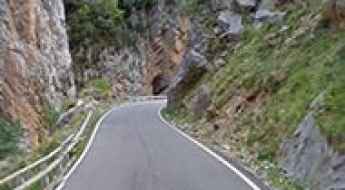
Obarra Canyon: a Spanish balcony road
Located in the province of Huesca, Aragon, in northern Spain, Congosto de Obarra is a narrow canyon formed by the Isabena River. It’s one of the most scenic canyon roads of Spain.
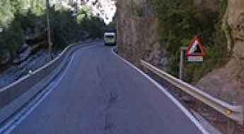
A scenic drive through the narrow Congosto de Ventamillo
Located in the county of Ribagorza, in the province of Huesca, Aragon, in northern Spain, Congosto de Ventamillo is a limestone canyon. It’s one of the most scenic canyon roads of Spain.
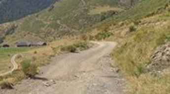
Driving the historic Collada de Conflent: The Smugglers' Route in the Pyrenees
Collada de Conflent (also known as Coll de Conglens) is a high mountain pass at an elevation of 2,177m (7,142ft) above sea level, located in the central Pyrenees, in Catalonia, Spain. This pass is a key point on the legendary Ruta dels Contrabandistes (Smugglers' Route), a track that historically allowed locals to travel between Os de Civís and the rest of the Alt Urgell region without entering Andorran territory.
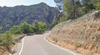
La Ruta del Silencio: Is the A-1702 the Most Spectacular Panoramic Road in Spain?
The A-1702, widely known as "The Silent Route," is an asphalt wrinkle that runs through a land marked by mystery and solitude. Spanning 63 kilometers between the Venta de la Pintada (Gargallo) and the Puerto de Cuarto Pelado (Cantavieja) in Teruel, this road offers a captivating journey through a landscape that remains almost untouched by time. It is a territory of solitary farmhouses (masías), narrow paths carved in stone, and villages that cling to cliffs in impossible positions.
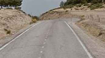
Puerto de la Morcuera
Puerto de la Morcuera is a high mountain pass at an elevation of 1.796m (5,892ft) above the sea level, located in the northern area of the autonomous Community of Madrid, in central Spain.
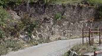
How to drive the unpaved Coll del Cintó?
Coll del Cintó is a high mountain pass at an elevation of 1,889m (6,197ft) above sea level, located in the Lleida province of Catalonia, Spain. Situated within the central Pyrenees range, the road through the pass is a 20.2 km unpaved corridor that links the villages of Bescaran and Arcavell. Logistically, this route serves as a high-altitude connection near the border with Andorra, requiring specialized 4WD vehicles to navigate the 27 hairpin turns and the loose rocky surface characteristic of the Pyrenean axis.
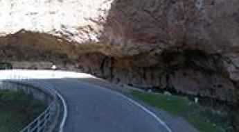
A scenic drive through Hoces del río Mesa
Located in the Province of Zaragoza, in the community autonomous of Aragón, in Spain, the road through Mesa Canyon is a very scenic drive. It’s one of the most scenic canyon roads of Spain.
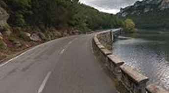
Sobrón Canyon road, a Spanish hidden gem
Sobrón Canyon road is a very scenic drive running through an incredible landscape, on the boundary between the Basque Country and the province of Burgos, an autonomous community of Castile and León, in northwestern Spain. It’s one of the most scenic canyon roads of Spain.
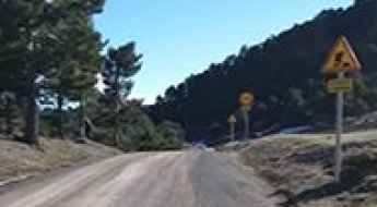
Calar de Santa Bárbara: Driving the high-altitude mine track in Sierra de Baza
Calar de Santa Bárbara is a mountain peak at an elevation of 2,218 meters (7,276 ft) above sea level, located in the Sierra de Baza Natural Park in the province of Granada, Andalusia, Spain. Sitting as the highest point in the Sierra de Baza, the summit is reached via an unpaved former mining track that climbs the northern slopes above the Baza basin.
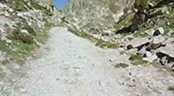
Can I drive the unpaved road to Estany de la Coma d'Amitges in the Pyrenees?
Estany de la Coma d'Amitges is a high-altitude glacial lake at an elevation of 2,382 meters (7,814 ft) above sea level, located in the Pyrenean province of Lleida, Catalonia, Spain. Situated within the Aigüestortes i Estany de Sant Maurici National Park, the unpaved track connects the Sant Maurici area with the Refugi d'Amitges.
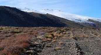
Laguna Seca
Laguna Seca is a high mountain lake at an elevation of 2.283m (7,490ft) above the sea level located in Almería province, in the autonomous community of Andalusia, in Southern Spain.
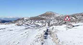
How steep is the 22% gradient of Collado del Alguacil in La Vuelta?
Collado del Alguacil is a high mountain pass at an elevation of 1,896 meters (6,220 ft) above sea level in Granada, in Spain. Located in the northwestern part of the Sierra Nevada range, the paved climb starting from Güéjar Sierra features extreme ramps reaching maximum gradients between 21% and 23% in the opening kilometers.
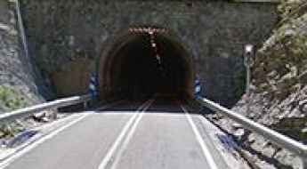
Puerto de Cotefablo
Puerto de Cotefablo is a mountain pass at an elevation of 1.423m (4,668ft) above the sea level, located in northeastern Spain in the province of Huesca, near the Pyrenees and the border with France
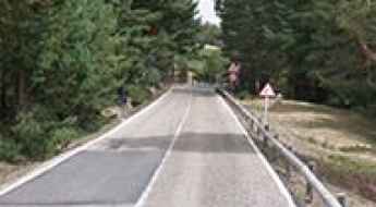
Puerto de Los Cotos
Puerto de Los Cotos is a high mountain pass at an elevation of 1.830m (6,003ft) above the sea level, located in the mountain range of Guadarrama, on the border of Castile Leon and Madrid, Spain.
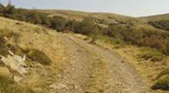
How to drive the 31-hairpin 4x4 track to Cerro Almirez in Almería?
Cerro Almirez is a mountain summit at an elevation of 2,350m (7,709ft) above sea level, located in the Almería sector of Sierra Nevada National Park in Andalusia, in Spain. The route to the top is an unpaved forest track carved into crumbling slate and shale.
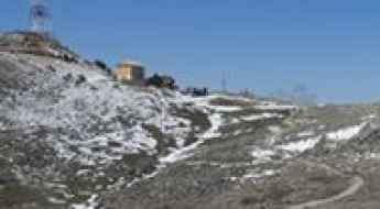
Peña del Altar: A high-altitude service road in Jaén
Peña del Altar is a high-altitude mountain refuge located at 1,791m (5,875ft) above sea level in the Jaén province of Andalusia, Spain. Situated within the Sierra de la Pandera mountain range, the route to the refuge offers some of the most dramatic views in the south-central part of the country.
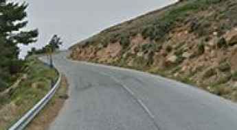
Collado de las Sabinas
Collado de las Sabinas is a high mountain pass at an elevation of 2.136m (7,007ft) above the sea level, located in Sierra Nevada mountain range, in the province of Granada, Spain.
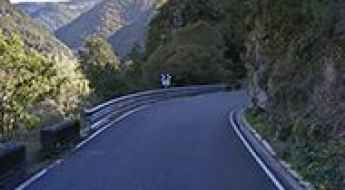
Sil Canyon Road
Sil Canyon Road is a loop drive located in the Province of Ourense, in the heart of the region of Galicia in northern Spain. The road runs along the Sil River and Santo Estevo dam.
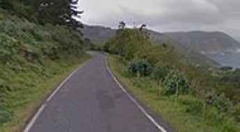
Road DP-2205
Located in the province of A Coruña, in the autonomous community of Galicia, in northwestern Spain, Road DP-2205 (nicknamed ‘The Cliff Road’) is a very scenic drive. Not recommended if you have passengers that don't like heights.
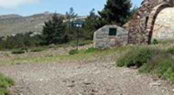
Driving the unpaved track to La Polarda: 2,143m in Sierra Nevada
Located in the eastern section of the Sierra Nevada National Park, in the province of Almería, the ascent to La Polarda is one of the highest and most isolated unpaved transits in Southern Spain. Reaching an elevation of 2,143m (7,030ft) above sea level, the track follows the high ridges of the mountain range, offering a raw driving experience where the desert-like heat of Almería meets the thin, freezing air of the summits. It is a route for those looking to test their vehicle's endurance on a long, sustained climb far from any paved civilization.
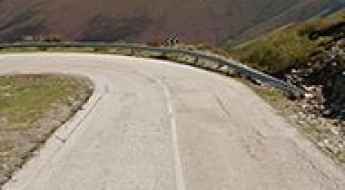
Driving the cracked road to Alto del Morredero in Castile and Leon
Alto del Morredero is a high mountain pass at an elevation of 1.762m (5,780ft) above sea level, located in the province of León, in Spain.
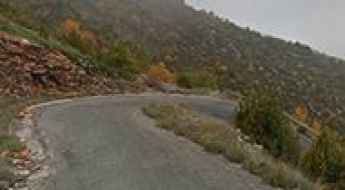
Coll d'Ares: The steep and degraded road in the Montsec d'Ares
Coll d'Ares is a high mountain pass at an elevation of 1,536 meters (5,039 ft) above sea level, located in the Serra del Montsec, within the La Noguera comarca in Catalonia, in Spain. The narrow road to the pass climbs the raw limestone walls of the Montsec d'Ares, starting from the valley floor near Àger.
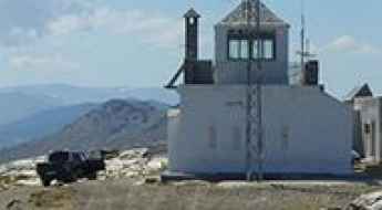
How to drive the unpaved road to Cerro El Buitre in Almeria?
Cerro El Buitre is a high mountain peak at an elevation of 2.466m (8,090ft) above sea level located in Almería province, in Spain. It’s one of the highest roads of the country.
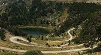
Can I drive the unpaved road to Estanys de la Pera?
Estanys de la Pera is a pair of high-altitude glacial lakes (Estany Gran and Estany Petit) located in the Pyrenean comarca of Cerdanya, Province of Lleida, Catalonia, in Spain, near the border with Andorra. The mountain track connects Font de Pollineres with Refugi dels Estanys de la Pera at an elevation of 2,357 meters (7,732 ft) above sea level.
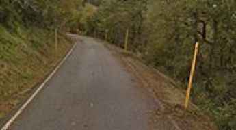
Road trip guide: Conquering Puerto del Connio
Puerto del Connio is a mountain pass at an elevation of 1.315m (4,314ft) above sea level, located in the Principality of Asturias, in Spain.
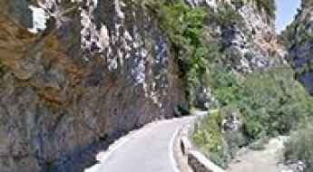
A defiant narrow road through Foz de Biniés
Foz de Biniés is the name of a very scenic canyon located in the province of Huesca, Aragon, in northern Spain. It’s one of the most scenic canyon roads of Spain.
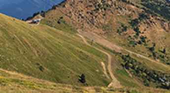
The Road to Pico Gallinero is a High Mountain Challenge in the Pyrenees
Pico Gallinero is a high mountain peak at an elevation of 2,613m (8,572ft) above sea level, located in the province of Huesca, Spain. It features one of the highest roads in the country.
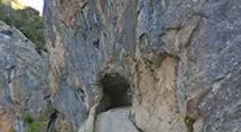
Driving the narrow Tartalés Canyon Road in Burgos
Tartalés Canyon Road is a brutal stretch of asphalt that clings to the limestone walls of the Garganta de Tartalés in Burgos. This is not a road for casual drivers; it is a narrow path where the rock face overhangs the track and the drops into the creek below are vertical and unguarded. The route connects Hoz de Valdivielso with the small village of Tartalés de los Montes, and it feels more like a mountain trail than a public road. If you suffer from vertigo or your vehicle is wider than a standard 4x4, you should think twice before heading up here.
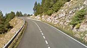
Conquering the iconic road to Rasos de Peguera
Rasos de Peguera is a ski resort at an elevation of 1.897m (6,223ft) above the sea level, located in the province of Barcelona, in Spain. The road is not easy, though. Up, down, right, left all the time.
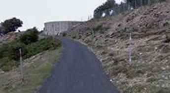
Road to Puig Neulós: Driving the 1,251m Border Peak in the Albera Range
Puig Neulós is a mountain peak at an elevation of 1,251 meters (4,104 ft) above sea level, located on the international border between France (Pyrénées-Orientales) and Spain (Girona). Situated as the highest point of the Albera Range, the summit features high-power telecommunication antennas accessible via a narrow paved road climbing the northern slope.
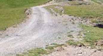
How to drive the unpaved road to Pas de la Mainera in Lleida
Pas de la Mainera is a high mountain pass at an elevation of 2.134m (7,001ft) above the sea level, located in the province of Lleida, in Spain.
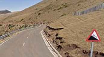
Puerto de Montenegro
Puerto de Montenegro, also known as Puerto de las Viniegras, is a high mountain pass at an elevation of 1.582m (5,190ft) above the sea level, located in the midst of the Iberian System mountains, on the border between the provinces of La Rioja and Soria, in Spain.
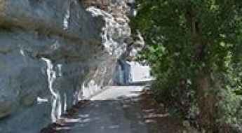
Hoz del Júcar: The narrow B-5 cliff road in Albacete
Hoz del Júcar is a high-risk canyon road carved into the limestone cliffs of the Albacete province in Castile–La Mancha, Spain. The road, officially designated as the B-5, follows the deep gorge created by the Júcar river. The physical reality of this route involves managing a narrow asphalt ribbon that clings to the karst walls, where the vertical exposure is total and the space for maneuvering is virtually non-existent in the tighter sectors of the canyon.