What are the most spectacular roads in China?
Located in the eastern part of Asia, and bordering 14 countries, China covers 9.6 million square kilometers. It’s the world's third-largest country by land area and it hosts more than 500 brutal driving experiences, listed as the most spectacular roads in the world. Due to its size and difficult geography, featuring mountains, plateaus, deserts, and plains, it has scenic, mountainous, and even flooding roads. It also holds many records, such as the world's longest traffic jam: a 100 km, 12-day standstill that occurred in August 2010, when the country witnessed the mother of all traffic jams.
When travelling to China, you can’t miss the infamous Tian Men Shan Big Gate, a road with 99 turns, built in 1998, that offers a thrilling 11-kilometer journey; or the iconic Guoliang Tunnel, which was dug through the side of a mountain by hand. Built in the early 1970s it is one of the most famous Chinese tunnel roads. It’s also worth driving the Sichuan-Tibet Highway, one of the world's highest roads.
And if you like challenging mountain roads situated at high elevations, remember to check out our list with the highest roads in China, where you’ll find real gems, such as Chāmkang, a mountain pass at 5.953m (19,530ft) above sea level.
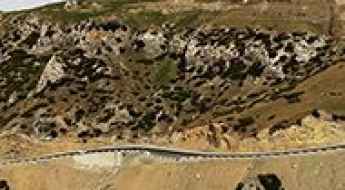
Anglet Daban: enjoy a road among the clouds
Anglet Daban is a high mountain pass at an elevation of 3.189m (10,462ft) above the sea level, located in Qapqal Xibe Autonomous County in Ili Kazakh Autonomous Prefecture in Northern Xinjiang, in China.
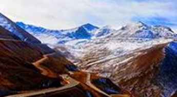
Taking on the Twists and Turns of Laofan Pass
Laofan Pass is a high mountain pass at an elevation of 4.155m (13,631ft) above the sea level, located on the boundary between Gansu and Qinghai provinces of northwest China.
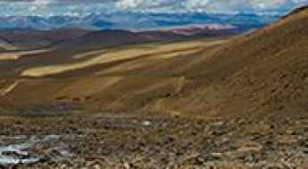
The extreme high-altitude 4x4 road to the emerald Lake Jiabucuo in Tibet
Lake Jiabucuo is a high mountain lake at an elevation of 5,248m (17,217ft) above sea level, located in the Tibet Autonomous Region. Situated in the heart of the Himalayas, this otherworldly drive takes you to one of the highest lakes on the planet, right along the border with India's Sikkim state.
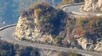
A rollercoaster road to Shibapan Diecai Cave
Shibapan Diecai Cave is one of the most popular attractions in Xiuwu County, in the northwest of Henan province, China, bordering Shanxi province to the north.
How dangerous is the high-mountain road to Lungzang La in Tibet?
Lungzang La is an extreme high-mountain pass at an elevation of 5,319 meters (17,450 ft) above sea level, located in Xaitongmoin County of the Shigatse Prefecture, within the Tibet Autonomous Region of China. The road across the summit, designated as the Qingqu Line, is one of the highest vehicle tracks in the world.
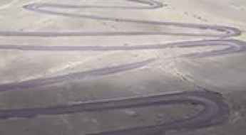
Lunkar La is a winding road only for experienced drivers
Lunkar La is a high mountain pass at an elevation of 5.390 m (17,683ft) above the sea level, located in Zhongba County of Xigazê Prefecture in China's Tibet Autonomous Region.
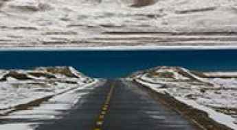
Yarto Drak La: A Paved 5,038m Mountain Pass in Tibet
At an elevation of 5,038m (16,528ft) above sea level, Yarto Drak La is a high mountain pass located in Qusum County, within the Tibet Autonomous Region. The pass is a key feature of the S202 Road, positioned between the Nedong and Qusum counties in the Yarlung Valley.
Driving the wild Tingri-Penjixiang road
The Tingri-Penjixiang mountain road is a very challenging journey in the heart of Tingri County, in the Tibet Autonomous Region of China.
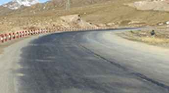
Dangjin Shankou: Navigating China's Majestic Altitudes on Road G215
Dangjin Shankou is a high mountain pass at an elevation of 3.655m (11,991ft) above the sea level, located in Jiuquan, in the northwesternmost part of Gansu Province in the People's Republic of China.
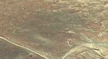
Tug La: Driving the high-altitude X301 cliff road in Tibet
Located in the heart of Nagarzê County, within the southeastern Tibet Autonomous Region, Tug La is a high mountain pass reaching an extraordinary elevation of 5,209m (17,089ft) above sea level. This pass is situated just north of the pristine Puma Yumco Lake, one of the highest altitude lakes on the planet, making it a pinnacle destination for extreme high-altitude driving.
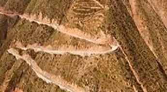
How difficult is the 38% gradient road to Qiuchi Mountain in China?
Qiuchi Mountain is a high mountain peak at an elevation of 1,759 meters (5,770 ft) above sea level, located in Xihe County, within the Longnan prefecture of Gansu Province, in China. The mountain is accessed via a very steep track with a series of tight hairpin turns cut directly into the vertical cliff faces.
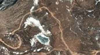
Tiejiangshan Pass: Driving the brutal 20% ramps in Sichuan
Tiejiangshan Pass (also known as Blacksmith Mountain Pass) is a high-altitude mountain pass at an elevation of 4,796 meters (15,734 ft) above sea level, located in Litang County within the Garzê Tibetan Autonomous Prefecture of Sichuan, China. Traversed by a paved branch road extending from the G318 National Highway, the route crosses the rugged high-altitude plateau between Litang and Chayu.
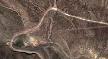
Ultimate 4wd destination: Takum La
Takum La is a high mountain pass at an elevation of 4.590m (15,059ft) above the sea level, located in Qusum County in the Shannan Prefecture of Tibet, in China.
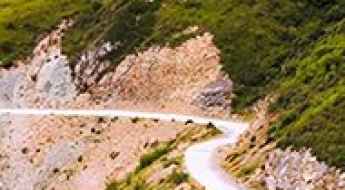
How To Travel The 412 County Road
412 County Road is a very exciting drive located in the heart of Gānnán Tibetan Autonomous Prefecture, in the Gansu Province of China.
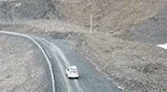
The road to Birukangqing La is not for the faint of heart
Birukangqing La is a high mountain pass at an elevation of 5.288m (17,349ft) above the sea level, located in Biru County, within Nagqu of the Tibet Autonomous Region, in China.
A dusty remote track to Chuseng La
Chuseng La is a high mountain pass at an elevation of 5.224m (17,139ft) above sea level, located in Gêrzê County, in China.
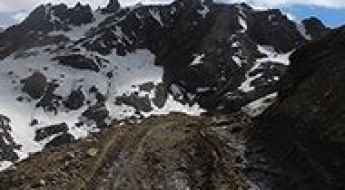
Driving the unpaved Bingchacha Line to Yixula Pass
Yixula Pass, also known as Yixu La or Tsong La, is an extreme high-altitude mountain pass at an elevation of 4,745 meters (15,567 ft) above sea level, located in Zayü County, Nyingchi Prefecture, Tibet. Traversed by the notorious Bingchacha Line, this route is widely considered the most primitive road in China. Connecting Chawalong to Zayü, the drive is a relentless 46.6-kilometer struggle against raw terrain, where long dangerous cliffs and a totally unpaved surface create a high-load environment for both the vehicle's suspension and the driver's focus.
How to drive the paved road to the Riyue La
Riyue La is a high mountain pass at an elevation of 3.529m (11,578ft) above sea level, located in Northeastern Qinghai Province, in China.
Xuebuda La: Driving the High-Altitude Paved S202 Road in Tibet
Xuebuda La is a high mountain pass located in Qusum County, within the Tibet Autonomous Region of China. Reaching an elevation of 5,119 meters (16,794 ft) above sea level, the paved pass marks the highest point on the mountain route between Shannan and Cona.
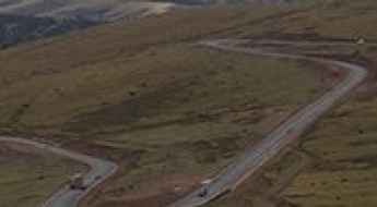
Lawu Pass: a paved steep road to the top
Lawu La is a high mountain pass at an elevation of 4.371m (14,340ft) above the sea level, located in Markham County, in the Tibet Autonomous Region of China.
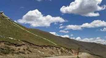
What are the driving challenges on the G317 road through Ngai La?
Ngai La is a high-altitude mountain pass at an elevation of 4,453m (14,609ft) above sea level, situated in the historical Kham region of the eastern Tibet Autonomous Region. Technically, the pass is a critical sector of the China National Highway 317 (G317). Navigating this pass involves managing high-volume commercial traffic on a roadbed that frequently transitions into narrow, single-track segments under extreme alpine conditions.
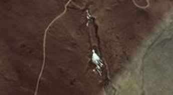
Driving the unpaved Y236 road to the 5,442m Sebseb La
Sebseb La is an extreme high-altitude mountain pass at an elevation of 5,442 meters (17,854 ft) above sea level, located in Ngamring County, within the Xigazê prefecture of the Tibet Autonomous Region, China. Traversed by the unpaved Y236 (236 Country Road), this pass is a technical and logistical challenge that links Zire with the rugged 205 Provincial Road. Reaching a summit of nearly 5,500 meters means driving in an environment where the physical laws of internal combustion are pushed to the limit, requiring a high-clearance 4x4 and a driver prepared for total isolation.
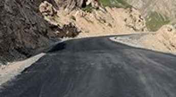
Tielimaiti La is an epic road in the Narat Range
Tielimaiti Pass is a high mountain pass at an elevation of 3.335m (10,941ft) above the sea level, located in the Xinjiang Uyghur Autonomous Region under the administration of the Aksu Prefecture, in China. The road offers breathtaking views of giant peaks, summits and deep gorges.
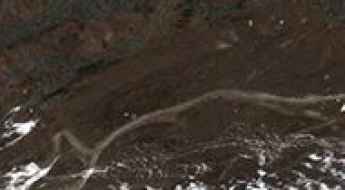
Lung La is a truly outstanding SUV adventure
Lung La is a high mountain pass at an elevation of 5.216m (17,112ft) above sea level, located in Gyaca County, a county of Shannan located in the Tibet Autonomous Region, China.
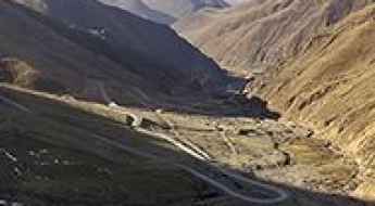
Chak La, a Most Tricky Scenic Road
Chak La is a high mountain pass at an elevation of 4.854m (15,925ft) above the sea level, located in Lhünzhub County, in Lhasa towards the north-east of the main center of Chengguan, Tibet, China.
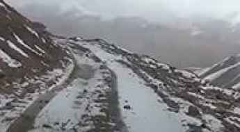
How to drive the unpaved road to Erzhihala Daban?
Erzhihala Daban is a high mountain pass at an elevation of 4.307m (14,130ft) above sea level, located in China.
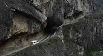
How To Travel The Challenging Gushuang Cliff Tunnel Road
Gushuang Cliff Tunnel Road is the name of a very defiant drive located in Gulin County, in the south of Sichuan Province, in China. It’s one of the most famous Chinese tunnel roads.
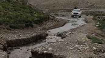
Lanma La, one of the toughest tracks in the world
Lanma La is a high mountain pass at an elevation of 5.098m (16,725ft) above the sea level, located in Tingri County, in the Tibet Autonomous Region of China.
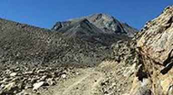
Driving the road to Cuo Ga Bu Lake is not a piece of cake
Cuogabu is a glacial lake at an elevation of 5.229m (17,155ft) above the sea level, located in Kangmar County of Xigazê in the Tibet Autonomous Region.
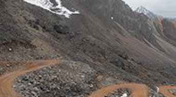
Chu La is one of the gnarliest roads in Tibet
Chu La is a high mountain pass at an elevation of 4.665m (15,305ft) above the sea level, located in Zayü County in the Nyingchi Prefecture in the southeastern part of the Tibet Autonomous Region, China. The road to the summit, with countless turns and twists, is said to be ‘The most primitive road in China’.
Jangkhu La: Driving one of the highest paved passes on the G317 Road
Jangkhu La is a high-altitude mountain pass at an elevation of 4,935m (16,190ft) above sea level, located in the Seni District of Nagqu, within the Tibet Autonomous Region of China. As part of the legendary G317 (Northern Sichuan-Tibet Highway), this pass is a critical link for those driving across the vast and remote Tibetan Plateau.
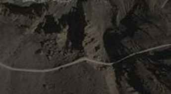
How to drive the unpaved ridge track over Par La in Tibet?
Par La is a high mountain pass at an elevation of 4,334 meters (14,219 ft) above sea level located in Kyirong County, Shigatse Prefecture, Tibet Autonomous Region, in China. Located near the Nepal border, the 17-kilometer unpaved ridge track connects Qiangla Longba with Gungtang (Kotang).
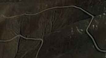
Driving the paved high road to Pe La in Tibet
Pe La is an ultra-high mountain pass at an elevation of 5,136m (16,850ft) above sea level, located in Ngamring County, within the Xigazê Prefecture of the Tibet Autonomous Region in China. It stands as one of the highest paved mountain passes in the world, offering a smooth but breathless journey through the heart of the Himalayas.
Dare to drive the dangerous Debo La
Debo La is a high mountain pass at an elevation of 5.178m (16,988ft) above the sea level, located in Gê'gyai County, in Ngari Prefecture of the Tibet Autonomous Region, China.
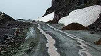
Is the old road to Yuximolegai Pass in Xinjiang still drivable?
The journey to Yuximolegai Pass is a trip into the decay of high-altitude engineering. At 3,438m (11,279ft) above sea level, this pass in Nilka County was once a key part of the Duku Highway. However, since the opening of the tunnel that bypasses the summit, the old mountain road has been left to the elements. Without regular maintenance, the path is rapidly returning to a wild state, presenting a significant challenge for any vehicle attempting the climb.
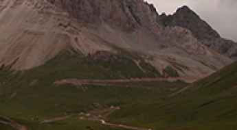
Dare to drive the dangerous road to Chiasa La
Chiasa La is a high mountain pass at an elevation of 4.887m (16,033ft) above the sea level, located in Yushu County, in Qinghai Province of China.
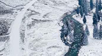
Road trip guide: Conquering the Mengkete Ancient Road
Mengkete Ancient Road is the name of a thousand-year old road located in the Xinjiang Province of China, on the boundary of Nilka County and Usu City district, in Ili Kazakh Autonomous Prefecture.
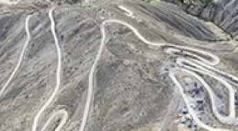
Road trip guide: Conquering the 562 Country Road
562 Country Road is a defiant high mountain road located in Zogong County, in the Chamdo Prefecture of Tibet Autonomous Region, China.
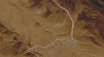
How to drive the remote 4x4 road to Ruro La in Tibet?
Ruro La is a high mountain pass at an elevation of 4,547m (14,917ft) above sea level, located in Zhag’yab County, within the Chamdo Prefecture of the Tibet Autonomous Region. This remote crossing is situated in one of the most rugged and less-traveled parts of eastern Tibet.