What are the most spectacular roads in China?
Located in the eastern part of Asia, and bordering 14 countries, China covers 9.6 million square kilometers. It’s the world's third-largest country by land area and it hosts more than 500 brutal driving experiences, listed as the most spectacular roads in the world. Due to its size and difficult geography, featuring mountains, plateaus, deserts, and plains, it has scenic, mountainous, and even flooding roads. It also holds many records, such as the world's longest traffic jam: a 100 km, 12-day standstill that occurred in August 2010, when the country witnessed the mother of all traffic jams.
When travelling to China, you can’t miss the infamous Tian Men Shan Big Gate, a road with 99 turns, built in 1998, that offers a thrilling 11-kilometer journey; or the iconic Guoliang Tunnel, which was dug through the side of a mountain by hand. Built in the early 1970s it is one of the most famous Chinese tunnel roads. It’s also worth driving the Sichuan-Tibet Highway, one of the world's highest roads.
And if you like challenging mountain roads situated at high elevations, remember to check out our list with the highest roads in China, where you’ll find real gems, such as Chāmkang, a mountain pass at 5.953m (19,530ft) above sea level.

How to drive the paved road to Tientsuwa Shan Pass?
Tientsuwa Shan is a high mountain pass at an elevation of 4.455m (14,616ft) above sea level, located in Garzê Tibetan Autonomous Prefecture, in China.
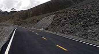
Haxilegen La is an otherworldly drive
Haxilegen Pass is a high mountain pass at an elevation of 3.538m (11,607ft) above the sea level, located in Nilka County, within the Xinjiang Uyghur Autonomous Region of China. Before you enter the tunnel, there is a panoramic terrace.
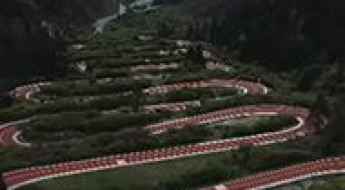
Taking on the Twists and Turns of Shenxianchi 28 U-turns road
Located in the Jiuzhaigou county of Sichuan, in China, Shenxianchi 28 U-turns is the name of a very defiant drive featuring 28 hairpin turns.
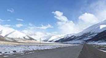
Ngajuk La
Ngajuk La is a high mountain pass at an elevation of 4.470m (14,665ft) above the sea level, located in Garzê Tibetan Autonomous Prefecture, in China.
Driving the steep road to Dangbe La
Dangbe La is a high mountain pass reaching an elevation of 5,183m (17,004ft) above sea level. It is located in Xaitongmoin County (also known as Zhetongmön), within the Xigazê Prefecture of the Tibet Autonomous Region in China. Situated northwest of Shigatse, this pass crosses a rugged and isolated section of the Tibetan Plateau.
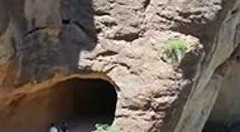
Jiangxia Wall Hung Road is recommended for drivers with strong nerves only
Jiangxia Wall Hung Road is the name of a very defiant drive located in Hui County, in the southeast of Gansu Province, in China. It’s one of the famous Chinese tunnel roads.
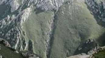
How to drive the 4x4 road to Kanda Shan Pass?
Kanda Shan Pass is a high mountain pass at an elevation of 4.656m (15,275ft) above sea level, located in Nangqên County of the Yushu Tibetan Autonomous Prefecture.
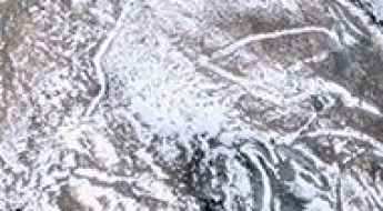
Is the unpaved road to Nyema La in Tibet dangerous?
Nyema La is an extreme high-mountain pass reaching a staggering elevation of 5,481m (17,982ft) above sea level in the southeastern Tibet Autonomous Region of China. Serving as a primary access route for the Luobusa (Luobusazhen) mine, the road is a brutal industrial track designed for heavy-duty mining machinery. At nearly 5,500 meters, this is one of the highest motorable points on the planet, where the combination of oxygen deprivation and a punishing rocky surface makes it a high-stakes journey for any driver.
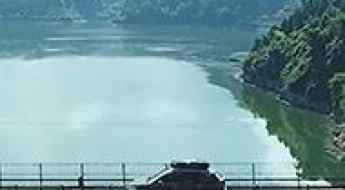
How to drive the 238m Niujiaoyan chain bridge in Guizhou?
The Niujiaoyan chain bridge is a technical engineering marvel located in Sinan County, Tongren City, within the Guizhou Province of China. Straddling the Wujiang River, this suspension structure is a critical logistical link, located 50 km from Sinan County and 260 km from the provincial capital, Guiyang. Known for its lack of central piers and extreme flexibility, it is one of the most spectacular bridges in the world.
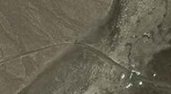
How dangerous is the 5,570m high Wuersisan Radome Road in China?
The Wuersisan Radome Road is an extreme high-altitude military mountain track reaching an elevation of 5,570 meters (18,274 ft) above sea level, located in the Hotan Prefecture of the Xinjiang Autonomous Region, China. Cutting through the remote and arid Aksai Chin plateau, the route is positioned among the highest mountain roads of China.
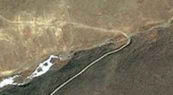
Driving the remote road to Trel La
Trel La, also known as Tsay La, is a high mountain pass at an elevation of 5,441m (17,851ft) above sea level. It is located on the border between Nagarzê and Lhozhag counties, in the southeastern part of the Tibet Autonomous Region in China. This remote mountain pass crosses the rugged Himalayan range and offers breathtaking views of the surrounding peaks and the scenic Lake Langbu.
How to Drive the Unpaved Road to Jiabuxi La in Tibet?
Jiabuxi La is a high mountain pass at an elevation of 5.705m (18,717ft) above sea level, located in Zhongba County of Xigazê Prefecture, in China. It’s one of the highest roads in the world.
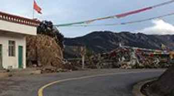
How to drive the paved road with 20 hairpin turns to Juetu La?
Juetu La is a high mountain pass at an elevation of 3.916m (12,847ft) above sea level, located in the Tibet Autonomous Region of China.
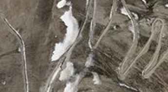
Driving from Qusum to Diyag: The 147km gauntlet of the Transhimalaya
The remote mountain road connecting Qusum and Diyag is a high-altitude unpaved route spanning 147 kilometers (91 miles) through the Transhimalaya range in Southern Tibet. Running across the rugged highlands of the Shannan and Ngari Prefectures, the single-lane track crosses six distinct mountain passes that all exceed an elevation of 4,500 meters above sea level.
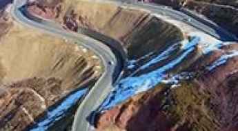
Dabanshan Pass: Driving the old mountain road and the G227 tunnel
Dabanshan Pass is a high mountain pass at an elevation of 3,944m (12,939ft) above sea level, located on the border between Haibei and Xining Prefectures in China's Qinghai Province. Situated within the rugged Qilian Mountains, the road through the pass is the G227 national road, a route steeped in the history of the ancient Silk Road.
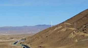
Is the S217 road to Zagashershar Pass in Sichuan paved?
Zagashershar Pass is a high mountain pass at an elevation of 4,130 meters (13,549 ft) above sea level, located in Litang County within the Garzê Tibetan Autonomous Prefecture of Sichuan, China. Traversed by the S217 Provincial Road (Liya Highway), the route connects Bengexiang and Jiawaxiang across the Tibetan plateau.
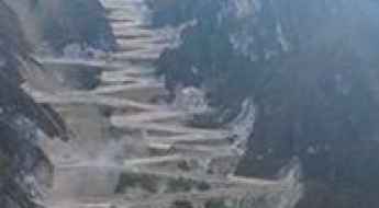
Driving the road to Zixia Palace with 49 dizzying hairpin bends
Zixia Palace is a stunning building at an elevation of 3.245m (10,646ft) above the sea level, located in Dongchuan District, in Yunnan Province, People's Republic of China. It’s a road that combines thrills, excitement and beauty.
Y773 is an otherworldly road
773 Country Road is a high mountain road located in Ngari Prefecture in China's Tibet Autonomous Region. On this road you're firmly on altitudes over 5.000m above sea level. For an unacclimatized person this can be fatal.
How to drive the unpaved road to Jiabo Co lake?
Jiabo Co is a high mountain lake at an elevation of 4.774m (15,662ft) above sea level, located in Shigatse Prefecture in China's Tibet Autonomous Region.
How to drive the 22 hairpin turns of Laozhong Line in Gansu?
Laozhong Line is a very exciting mountain drive located in the middle of Gansu Province, in People's Republic of China. The average gradient is 8.78%.
Driving the S305 through Aba La: The 5.190m high-altitude desert of Tibet
The S305 Provincial Road is a high-altitude highway stretching 413 kilometers (256 miles) across the Tibetan Plateau in the Nagqu region, Tibet Autonomous Region, China. Connecting the G109 and G318 national highways, the route crosses the Aba La pass at an elevation of 5,190 meters (17,027 ft) above sea level.
X710: enjoy a road among the clouds
710 County Road is a high mountain road located in Ngari Prefecture in China's Tibet Autonomous Region.
Driving the high-altitude G317 Highway through Langlu La in Tibet
Langlu La is a high mountain pass at an elevation of 4,829m (15,843ft) above sea level, located in the Seni District of Nagqu, within the Tibet Autonomous Region of China. The pass is traversed by the China National Highway 317 (G317), also known as the Northern Sichuan-Tibet Highway.
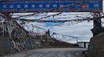
Tsola La: The 4,500m Threshold of the Friendship Highway
Tsola La is a high mountain pass at an elevation of 4,553m (14,937ft) above sea level, located in Lhatse County, Shigatse Prefecture. Situated in the Tibet Autonomous Region of China, it serves as a critical transition point on the legendary route toward the Himalayas.
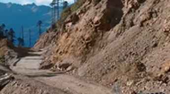
Travel guide to the top of Peacock Mountain Pass
Kongque Shan Yakou (Peacock Mountain Pass) is a high mountain pass at an elevation of 3.891m (12,765ft) above the sea level, located on the border of Nujiang and Dêqên Prefectures, in Yunnan Province, China.
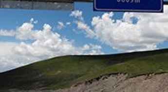
Haitar Pass is a drive worth taking
Haitar Pass is a high mountain pass at an elevation of 3.882m (12,736ft) above the sea level, located in Gangca County of northeastern Qinghai province, on the northern shore of Qinghai Lake, in China.
How to drive the military track to Samto La?
The Samto La is an international high mountain pass reaching an elevation of 5,064m (16,614ft) above sea level, situated on the border between China (Tibet) and Nepal (Mustang District). Logistically, this is a dead-end corridor; while the Chinese side is serviced by a military track starting from Qukane, there is no road, trail, or motorable path on the Nepalese side. Driving to the summit requires a high-clearance 4x4 and is strictly restricted to authorized personnel due to its sensitive border location.
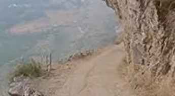
Xiagete Wall Road: A Nerve-Wracking Cliff Drive in Guizhou
Xiagete Wall Road is one of the most heart-stopping cliffside tracks in Southern China. Located in Shuicheng County, within the rugged Guizhou Province, this narrow path skirts the border with Yunnan and offers a driving experience that is not for the faint of heart.
583 Country Road: only for experienced drivers
583 Country Road is a high mountain road located in the Chamdo Prefecture in the Tibet Autonomous Region of China.
Penma La: a rough and bumpy road
Penma La is a high mountain pass at an elevation of 5.321m (17,457ft) above the sea level, located in Ngamring County, a county of Xigazê in the Tibet Autonomous Region, in China.
How difficult is the unpaved 4x4 road to Dolo La in Tibet?
Dolo La is a high mountain pass reaching an extreme elevation of 4,857m (15,935ft) above sea level in the Xigazê Prefecture of the Tibet Autonomous Region. Sitting on the boundary between Ngamring and Lhatse counties, the pass is a critical but primitive link between the Yarlung Zangbo and Duoxiong Zangbo valleys. This is a high-altitude desert journey where the lack of pavement and the brutal atmospheric conditions turn a 20 km climb into a grueling test of vehicle endurance and driver patience.
A very steep road (13.3%) to the top of Lata La
Lata La is a high mountain pass at an elevation of 4.047m (13,277ft) above sea level, located in the southern part of Gyirong County in the Tibet Autonomous Region of China.
How to drive the paved 214 County Road
214 County Road is an asphalted high-mountain road located in the Tibet Autonomous Region of China, bordering Nepal.
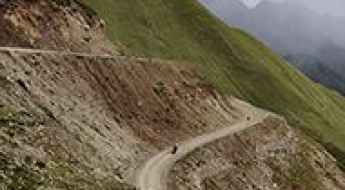
Dare to drive the dangerous Shel La in Tibet
Shel La is a high mountain pass at an elevation of 4,904 m (16,089 ft) above sea level, located in Dêngqên County, Chamdo City, in the Tibet Autonomous Region of China.
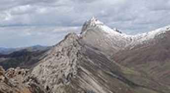
Kagye La is recommended for drivers with strong nerves
Kagye La is a high mountain pass at an elevation of 4.814m (15,793ft) above sea level, located in Karuo District of Qamdo, in the Tibet Autonomous Region of China.
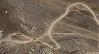
Bunggar La: A high-altitude mining track in the heart of Tibet
Bunggar La is a high-altitude pass that tests the mechanical limits of any vehicle. Reaching an elevation of 5,228m (17,152ft) above sea level in the Tibet Autonomous Region, this 12.8km track is a vital link for the region's mining operations. Located between Maizhokunggar and Lhari counties, the road is far from a scenic mountain drive; it is a working route where the loose surface and extreme gradients are secondary to the challenge of sharing the narrow path with heavy industrial traffic.
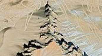
Tro La, a curvy road only for experienced drivers
Tro La is a high mountain pass at an elevation of 5.390m (17,683ft) above the sea level, located on the boundary of Lhari and Gongbo’gyamda counties in the Tibet Autonomous Region of China.
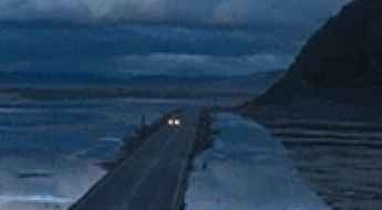
How to drive the seasonal Napa Lake Highway?
Napa Lake highway is a seasonal road located in the Diqing Tibetan Autonomous Prefecture of Yunnan Province, in China. It’s one of the periodically flooded roads around the world.
Darecuo Lake
Darecuo is a high mountain lake at an elevation of 5.411m (17,752ft) above the sea level, located in the Tibet Autonomous Region of China. The road to the summit is rocky and gravel. Large, sharp rocks require tight maneuvering, increasing the likelihood of tire damage.