What are the most spectacular roads in France?
France is a true paradise for those wishing to experience the most spectacular roads, and it provides endless experiences for each driver. From stunning balcony roads, mountain passes, and coastal drives, to roads disappearing with the tides, it hosts more than 750 roads listed as the most spectacular in the world.
Located in the western part of Europe, France covers an area of 551,695 square kilometers and shares borders with 7 countries: Belgium, Luxembourg, Germany, Switzerland, Italy, Spain, and Andorra. With high mountains in the Alps and the Pyrenees, the roads of the country are famous worldwide because of the Tour de France, the most important cycling race. When traveling to the country, be sure to experience a drive through the best balcony roads. Dramatically carved out of rock on the side of mountains, the balcony roads are a unique experience for any rider.
The country also hosts iconic roads, known worldwide, including Col du Chaussy, a mountain pass at 1,533m (5,029ft) above sea level, famous for the “Lacets de Montvernier,” a special 3 km stretch with 17 hairpins as the road virtually climbs a cliff, or Col de Turini, a treacherous Alpine road with a legendary driving history, as one of the most dangerous and challenging stages of the Monte Carlo Rally and one of the most scenic drives in the world. For those preferring another kind of experience, don’t forget to drive Passage du Gois, the tide-covered road. It’s a natural passage flooded twice a day by the high tide leading to the island of Noirmoutier.
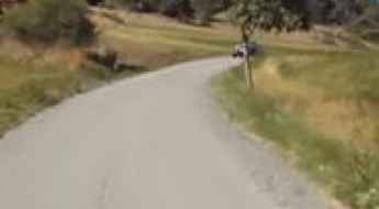
How to drive the steep paved road to Mont Colombis in the Hautes-Alpes?
Mont Colombis is a high mountain peak at an elevation of 1,734 meters (5,686 ft) above sea level, located in the Hautes-Alpes department of France.
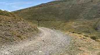
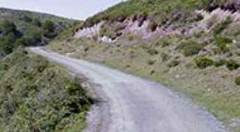
How to drive the unpaved road to Col d’Anglas in the Pyrenees?
Col d’Anglas is a high mountain peak at an elevation of 2,453m (8,047ft) above sea level, located in the Pyrénées-Atlantiques department.
How to drive the 11.6% gravel road to Crête de la Soumaye?
Crête de la Soumaye is a high mountain peak at an elevation of 2,348m (7,703ft) above sea level, located in the Hautes-Pyrénées department of France.
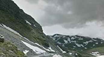
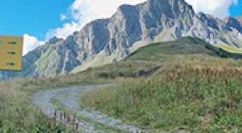
How to drive the unpaved road to Lac de l’Ouillette in Savoie?
Lac de l’Ouillette is a high mountain lake at an elevation of 2,521m (8,270ft) above sea level, located in the Savoie department of France.
How to drive the paved road to Col de Bostmendieta
Col de Bostmendieta is a mountain pass at an elevation of 1,054m (3,458ft) above sea level, located in the Pyrénées-Atlantiques department of France.
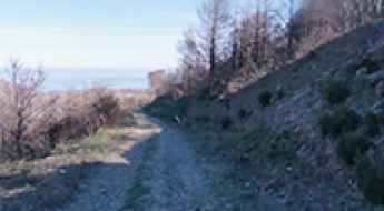
How to drive the unpaved road to Coll de la Farella?
Coll de la Farella is an international mountain pass at an elevation of 305m (1,000ft) above sea level, located on the French-Spanish border.
How to drive the unpaved road to Col du Gollet in the Massif de la Vanoise
Col du Gollet is a high mountain pass at an elevation of 1,979m (6,492ft) above sea level, located in the Savoie department of France. It serves as the gateway to the higher ridges of the Valmorel ski area.
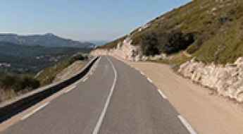
Col de la Gineste: Driving the D559 Coast Road From Marseille to Cassis
Col de la Gineste is a mountain pass at an elevation of 326 m (1069ft) above sea level, located in the department of Bouches-du-Rhône, in France.