What are the most spectacular roads in France?
France is a true paradise for those wishing to experience the most spectacular roads, and it provides endless experiences for each driver. From stunning balcony roads, mountain passes, and coastal drives, to roads disappearing with the tides, it hosts more than 750 roads listed as the most spectacular in the world.
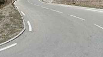
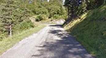
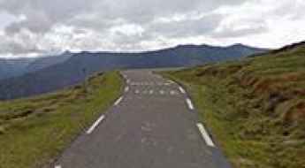
Located in the western part of Europe, France covers an area of 551,695 square kilometers and shares borders with 7 countries: Belgium, Luxembourg, Germany, Switzerland, Italy, Spain, and Andorra. With high mountains in the Alps and the Pyrenees, the roads of the country are famous worldwide because of the Tour de France, the most important cycling race. When traveling to the country, be sure to experience a drive through the best balcony roads. Dramatically carved out of rock on the side of mountains, the balcony roads are a unique experience for any rider.
The country also hosts iconic roads, known worldwide, including Col du Chaussy, a mountain pass at 1,533m (5,029ft) above sea level, famous for the “Lacets de Montvernier,” a special 3 km stretch with 17 hairpins as the road virtually climbs a cliff, or Col de Turini, a treacherous Alpine road with a legendary driving history, as one of the most dangerous and challenging stages of the Monte Carlo Rally and one of the most scenic drives in the world. For those preferring another kind of experience, don’t forget to drive Passage du Gois, the tide-covered road. It’s a natural passage flooded twice a day by the high tide leading to the island of Noirmoutier.
Croix de Toulouse
Croix de Toulouse is a high mountain pass at an elevation of 1.962m (6,437ft) above the sea level, located in the Hautes-Alpes department in the Provence-Alpes-Côte d'Azur region in southeastern France.
Col de Gembre
Col de Gembre is a high mountain pass at an elevation of 1.635m (5,364ft) above the sea level, located in the Hautes-Pyrénées department in south-western France.
Driving the 20 hairpins of Col de la Joux Verte: The road to Avoriaz
Located in the Haute-Savoie department, in the Auvergne-Rhône-Alpes region, Col de la Joux Verte is a high-altitude mountain pass that reaches 1,760m (5,774ft) above sea level. Situated close to the Swiss border, south of Lake Leman, this pass is traversed by the legendary D338 road, also known as the Route d'Avoriaz. It is a masterpiece of Alpine engineering where the vertical gain is managed through a relentless sequence of hairpins that demand absolute focus from any driver.
Col d'Arrondaz
Col d'Arrondaz is a high mountain pass at an elevation of 2.507m (8,225ft) above the sea level, located on the Plateau des Glieres area in Haute-Savoie department of France.
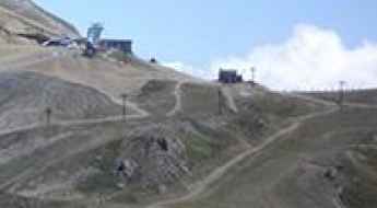
The Legendary Climb to Avoriaz: A Tour de France Icon in the Alps
Avoriaz is a world-renowned ski resort located in the heart of the Portes du Soleil, within the commune of Morzine, in France. Perched on a cliff at an elevation of 1,814m (5,951ft) above sea level, the station is famous for its avant-garde architecture and its legendary status in professional cycling.
How to drive the paved road to Col de Pinpinier?
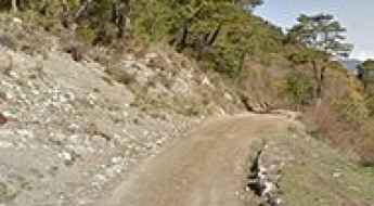
Col de Pinpinier is a mountain pass at an elevation of 1.130m (3,707ft) above sea level, located in the Provence-Alpes-Côte d'Azur region of France.
Col du Cucheron
Col du Cucheron is a mountain pass at an elevation of 1.139m (3,737ft) above the sea level, located at the heart of the Chartreuse massif, in the Rhône-Alpes region of southeastern France. The climb is terrible, with sections up to 17.9%. It’s a small pass very pleasant with the passage through the beautiful village of Saint-Pierre-de-Chartreuse.
Col de Sarraut
Col de Sarraut is a mountain pass at an elevation of 980m (3,215ft) above the sea level, located in the Alpes-de-Haute-Provence department in southeastern France.
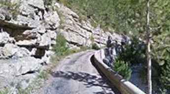
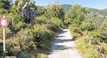
Take the Scenic Route and Discover Gorges d'Aulan
Gorges d'Aulan is the name of a spectacular canyon carved into the limestone by the Toulourenc river in the Drôme department of Auvergne-Rhône-Alpes region, in France. It’s one of the French balcony roads.
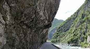
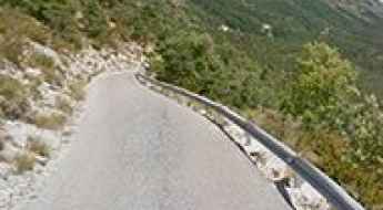
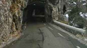
M6202 is a Most Tricky Scenic Road on the French Riviera
Located in the Alpes-Maritimes department, in the Provence-Alpes-Côte d'Azur region of France, M6202 is the name of a very scenic road. It’s one of the French balcony roads.
Mont Agnelet
Mont Agnelet is a high mountain pass at an elevation of 2.201m (7,221ft) above the sea level, located in the Mercantour massif of the Maritime Alps, in southern France.
Col des Rochilles
Col des Rochilles is a high mountain pass at an elevation of 2.496m (8,188ft) above the sea level, located in the Savoie department in the Rhône-Alpes region in south-eastern France.
Pas du Serpaton
Pas du Serpaton is a high mountain pass at an elevation of 1.581m (5,187ft) above the sea level, located in the Isère department in southeastern France.
Rocher du Charvet
Rocher du Charvet is a high mountain peak at an elevation of 2.712m (8,897ft) above the sea level, located in the Savoie department in the Auvergne-Rhône-Alpes region in south-eastern France.
Auron
Auron is a ski resort at an elevation of 1.652m (5,419ft) above the sea level, located in the French alps in the Alpes-Maritimes department.
Col de Mens
Col de Mens is a mountain pass at an elevation of 1.111m (3,645ft) above the sea level, located in the Isère department in southeastern France.
Col des Trabesses
Col des Trabesses is a high mountain pass at an elevation of 1.916m (6,286ft) above the sea level, located in the Ariège department of the French Pyrenees.
Road trip guide: Conquering Col du Vallon
Col du Vallon is a high mountain pass at an elevation of 2.456m (8,057ft) above sea level, located in the Hautes-Alpes department in southeastern France.
Col du Fort
Col du Fort is a high mountain pass at an elevation of 1.787m (5,862ft) above the sea level, located in the Alpes-Maritimes department in southeastern France
Col de la Coche
Col de la Coche is a high mountain pass at an elevation of 1.783m (5,849ft) above the sea level, located in the Hautes-Alpes department in southeastern France. The road to the summit is extreme. One mistake and it's a free fall to your death. It’s one of the most dangerous roads on Earth.
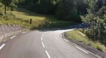
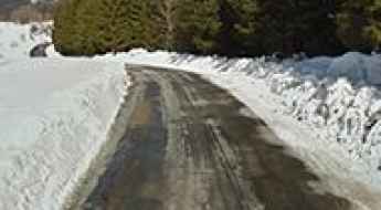
Is the road to Col du Clergeon in the Jura Mountains too steep?
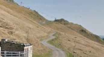
Col du Clergeon is a mountain pass sitting at an elevation of 979m (3,211ft) above sea level in the Auvergne-Rhône-Alpes region of France. Located on the boundary between the Haute-Savoie and Savoie departments, the road over the pass is a treacherous stretch of asphalt that defies its relatively low altitude. Known as the D55 on the Savoie side and the D231 in Haute-Savoie, this route is a favorite for local cyclists but a logistical headache for drivers due to its extreme narrowness and punishing gradients.
Col de Ste-Anne: Driving the D28 through the Mercantour National Park
Located in the Alpes-Maritimes department of southeastern France, Col de Ste-Anne is a high mountain pass at an elevation of 1,551m (5,088ft) above sea level. Situated within the stunning Mercantour National Park, this pass serves as a vital alpine link in the Provence-Alpes-Côte d'Azur region, offering a drive through some of the most scenic high-altitude terrain in the French Alps.
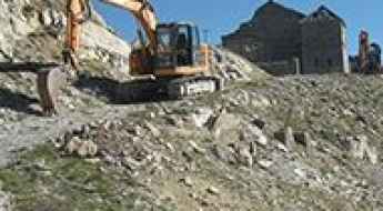
Mont Janus: Driving the Historic Military Road of the Hautes-Alpes
Mont Janus is a high mountain peak at an elevation of 2,529m (8,297ft) above sea level, located in the Hautes-Alpes department of southeastern France. Perched above the town of Briançon, it is famous for its strategic military history and the rugged, high-altitude trail that leads to its summit fortress.
Col del Pam
Col del Pam is a high mountain pass at an elevation of 1.998m (6,555ft) above the sea level, located in the Pyrénées-Orientales and Cerdagne near the Spanish border in the south of France.
Col des Frettes
Col des Frettes is a high mountain pass at an elevation of 2.386m (7,828ft) above the sea level, located in the Savoie department in the Rhône-Alpes region in south-eastern France.
How To Have The Ultimate Road Trip To Bocca à Canaghia
Bocca à Canaghia is a high mountain peak at an elevation of 1.848m (6,062ft) above sea level, located on the island of Corsica, in Franca. It’s one of the highest roads of Corsica.
Sommet de l'Eychauda
Sommet de l'Eychauda is a high mountain peak at an elevation of 2.639m (8,658ft) above the sea level, located in the Hautes-Alpes department in southeastern France.
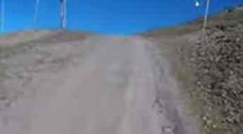
How to drive the unpaved road to Col de Cloze
Col de Cloze is a high mountain peak at an elevation of 2.483m (8,146ft) above sea level, located in the region of Occitanie, in France.
Col de Fours
Col de Fours is a high mountain peak at an elevation of 2.318m (7,604ft) above the sea level, located in the extreme north of the Alpes-de-Haute-Provence, in southeastern France, near the Italian border.
Col du Farguet
Col du Farguet is a mountain pass at an elevation of 1.084m (3,556ft) above the sea level, located in the Alpes Maritimes department in southeastern France.
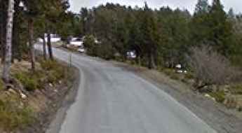
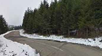
How to drive the steep D160 road to Col du Merdassier?
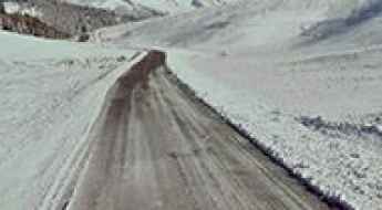
Col du Merdassier is a mountain pass at an elevation of 1,500m (4,921ft) above sea level, located in the Haute-Savoie department, France. Situated in the Aravis Range, the pass serves as a logistical hub for the Manigod ski area. The final approach follows the D160 road, a mountain route characterized by its high-altitude exposure and technical drainage challenges during the snowmelt season.
How to drive the unpaved road to Le Taoulet in Occitania?
Le Taoulet is a high mountain peak at an elevation of 2.341m (7,680ft) above sea level, located in the Hautes-Pyrénées department of France.
Col du Laux
Col du Laux is a mountain pass at an elevation of 883m (2,896ft) above the sea level, located in the Drôme department in southeastern France.
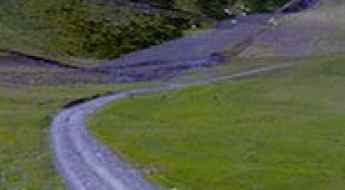
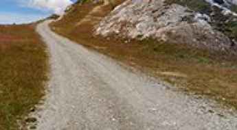
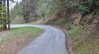
Col du Liorin: Driving the narrow paved climb in the Vercors Massif
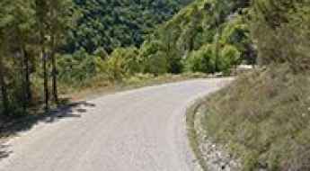
Located in the heart of the Isère department in southeastern France, Col du Liorin is a mountain pass reaching an elevation of 1,226m (4,022ft) above sea level. This pass is situated within the rugged and limestone-dominated landscape of the Vercors Massif, a region famous among drivers for its high-altitude plateaus and dramatic balcony roads.
Col de la Grande Forcle
Col de la Grande Forcle is a high mountain pass at an elevation of 2.270m (7,447ft) above the sea level, located in the Graian Alps, in the Savoie department in the Auvergne-Rhône-Alpes region in south-eastern France.
Aiguille Croche: Driving the 18 Hairpins of the Beaufortain Ridge
At an elevation of 2,398m (7,867ft) above sea level, Aiguille Croche is a high mountain peak on the border of Savoie and Haute-Savoie. The road to the summit is a technical ski-lift service track located within the Beaufortain Massif, famous for its narrow ridges and total exposure.
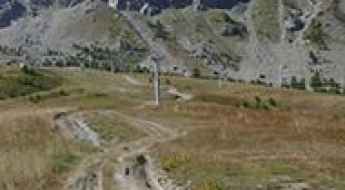
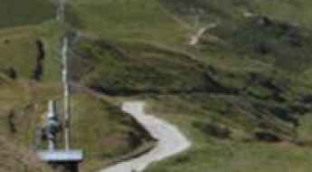
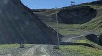
Crêt de l'Oeillon: Driving the Steep D63.1 Road in the Pilat Massif
Crêt de l'Oeillon is a mountain peak at an elevation of 1,364 meters (4,475 ft) above sea level, located in the Pilat Massif, within the Loire department of the Auvergne-Rhône-Alpes region, France. The D63.1 road branches off the main ridge route to reach the summit, where a prominent 80-meter-high television broadcasting antenna stands at the crest.
Col d’Entre les Tetes
Col d’Entre les Tetes is a high mountain peak at an elevation of 2.760m (9,055ft) above the sea level, located in Rhone-Alpes in the French Isère département.
How to drive the curvy road to Fort du Mont in Albertville?
Fort du Mont is a military fortress at an elevation of 981m (3,218ft) above sea level, located in the Savoie department, in France.
A memorable road trip to Le Brévent
Le Brévent is a high mountain peak at an elevation of 2.484m (8,149ft) above the sea level, located in the Haute-Savoie department in the Auvergne-Rhône-Alpes region in south-eastern France.
How to drive the paved road to Col de Marocaz?
Col de Marocaz is a mountain pass at an elevation of 958m (3,143ft) above sea level, located in the Savoie department of France.
Col Gaudissart
Col Gaudissart is a mountain pass at an elevation of 896m (2,939ft) above the sea level, located in the Drôme department in southeastern France.
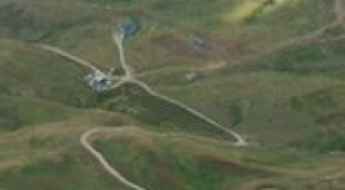
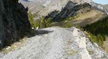
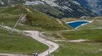
How to drive the long climb to Pointe du Dzonfié?
The climb to Pointe du Dzonfié is a long, technical ascent in the Savoie department of the French Alps. Reaching 2,185m (7,168ft) above sea level, this route is a mix of high-alpine paved roads and rough mountain tracks. Spanning 31 kilometers from the valley floor, it requires a vehicle with good ground clearance and a driver who knows how to manage brake heat and gear selection on narrow, unprotected ledge roads.
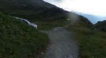
Road to Refuge de Moëde Anterne: Driving the 8.85% Track in the Fiz Mountains
Located in the Fiz mountains of the Haute-Savoie department in south-eastern France, Refuge de Moëde Anterne is a high-altitude mountain hut at an elevation of 1,984m (6,509ft) above sea level. Situated within the Réserve Naturelle de Passy, the road to the refuge is a technical mountain track used primarily for logistics, supply transport, and mountain rescue operations.
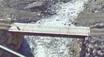
Le Beoux Bridge
Le Beoux pont is located in the Hautes-Alpes department in southeastern France. It’s one of the most spectacular bridges in the world.