What are the most spectacular roads in the USA?
Located in North America, the USA is a true paradise for drivers, as it hosts more than 2,000 roads listed as the most spectacular in the world.
Featuring mountains, deserts, coasts, and snow, in the USA you’ll get your dream road. And you’ll never want to wake up. For instance, at the top of your list, you need to drive the Million Dollar Highway, the most beautiful road in America, and probably in the world. Built in the late 1880s, you'll be on the "outside" for a while with a hell of a view to your right (let the passenger enjoy the view; you'll want to watch the road). Another paved option must be the Iron Mountain Road, featuring 17 miles, 314 curves, 14 switchbacks, 3 pigtails, and 3 tunnels in the Black Hills of South Dakota. No list would be complete without the winding Tail of the Dragon: 318 curves in 11 miles. Spanning Tennessee and North Carolina, it is one of the most scenic drives in the USA. You also can’t skip driving Mount Evans Scenic Byway, the highest paved road in North America, climbing up to 4,310m (14,130ft) in Colorado. It is said to be the highest paved road in North America.
For those who prefer unpaved experiences, the country hosts some of the most defiant yet scenic roads in the world. You can’t miss Black Bear Pass, a high mountain adventure in the Colorado Rockies. Climbing up to 3,915m (12,844ft) above sea level, it's one of the highest roads in Colorado. You can also discover the beauty of Engineer Pass, a mountain pass at an elevation of 3,901m (12,800ft) above sea level in Colorado. It’s mostly a first-gear ride because the road is rough and rocky. The legendary Shafer Trail Road in Utah's Canyonlands National Park is an iconic drive located on the east-central edge of Utah. At times, the road is so narrow that only one car can pass. And Lippincott Mine Road in California is for experienced 4WD drivers using high-clearance vehicles only. You'll need a good map, as the routes are not marked and there are no signs. It’s one of the challenging backcountry roads in Death Valley National Park.
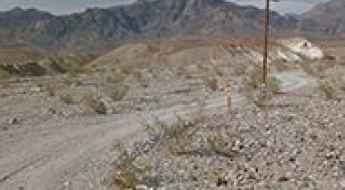
How to drive the Echo Canyon Road to Inyo Mine in the Death Valley NP
Echo Canyon Road is a very exciting drive in Inyo County, in the U.S. state of California. It’s one of the challenging backcountry roads in Death Valley National Park.
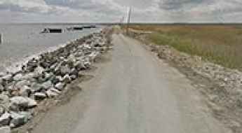
Discover Port Mahon Road, a Coastal Drive in Delaware
Located at the mouth of the Mahon River, Port Mahon Road in Kent County, in the US state of Delaware, offers a drive through a coastal area perfect for wildlife enthusiasts.
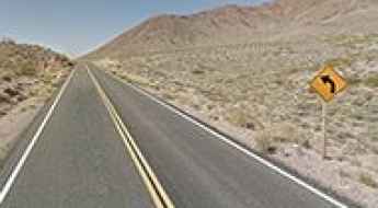
A Memorable Road to Daylight Pass in Death Valley
Daylight Pass is a high mountain pass at an elevation of 1,316m (4,317ft) above sea level, located in Inyo County, in the U.S. state of California.
Driving the steep unpaved road to Hull Mountain in California
Hull Mountain is a high mountain peak at an elevation of 2,092m (6,863ft) above sea level, located in the U.S. state of California.
How to drive the rugged and rocky Old Ore Road in Big Bend NP?
Located in Texas's Big Bend National Park, in the USA, the Old Ore Road offers a journey into history, tracing the path of early 20th-century mule and pack trains from Mexican mines to the Marathon railroad station. It's a primitive dirt road in the Big Bend National Park.
Driving the scenic Going-to-the-Sun Road to Logan Pass in Glacier National Park
Logan Pass is a high mountain pass at an elevation of 2,026m (6,646ft) above sea level, located in the U.S. state of Montana.
A steep paved road to La Manga Pass in Colorado
La Manga Pass is a high mountain pass at an elevation of 3.124m (10,249ft) above sea level, located in Conejos County, in the U.S. state of Colorado.
A paved road above the clouds to Pu'u'ula'ula (Red Hill) in Hawaii
Pu'u'ula'ula (Red Hill) is a high mountain peak at an elevation of 3.055m (10,023ft) above sea level, located on the Hawaiian Island of Maui.
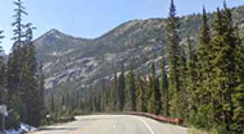
Washington Pass is the highest point of North Cascades Highway
Washington Pass is a high mountain pass at an elevation of 1,669m (5,477ft) above sea level, located in the U.S. state of Washington.
What You Need to Know Before Driving to Kolokole Pass in Hawaii
Kolokole Pass is a mountain pass at an elevation of 504m (1,653ft) above sea level, located in Honolulu County, in the US state of Hawaii.
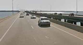
How long is the Monitor-Merrimac Memorial Bridge-Tunnel in Virginia?
The Monitor-Merrimac Memorial Bridge-Tunnel (MMMBT) is a 7.4-kilometer (4.6-mile) four-lane bridge-tunnel crossing the James River at the mouth of Hampton Roads in Virginia, USA. Carrying Interstate 664 (I-664), the facility links Newport News on the Virginia Peninsula with Suffolk on the South Hampton Roads mainland. It's one of the most spectacular bridges in the world.
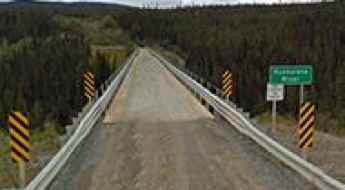
How high is the Kuskulana Bridge in Alaska?
The Kuskulana Bridge is a historic single-lane steel truss bridge spanning 160 meters (525 ft) across the Kuskulana River Canyon in the Valdez-Cordova Census Area of Alaska, USA. Sitting at Milepost 17 of the unpaved McCarthy Road, the bridge carries traffic 72.5 meters (238 ft) above the river gorge on the route to McCarthy and Wrangell-St. Elias National Park. It ranks among the most spectacular bridges in the world along the McCarthy Road.
Dare to drive the unpaved road to Kingston Peak in Colorado
Kingston Peak is a high mountain peak at an elevation of 3.671m (12,043ft) above sea level, located in the US state of Colorado. It’s one of the highest roads of Colorado.

How to drive Chicago expressways in winter?
Driving through the Chicago metropolitan area during winter requires handling lake-effect snow squalls, sudden polar vortex temperature drops, and heavy traffic across major routes like the Kennedy Expressway (I-90), Dan Ryan Expressway (I-94), and DuSable Lake Shore Drive.
The legendary Forest Road 825 in Colorado was built in 1883
Forest Road 825 is a high mountain road located in San Juan County, in the U.S. state of Colorado. It’s one of the highest roads of Colorado.
Exploring the 8 Deadliest Roads in California
From the high-altitude switchbacks of the San Gabriel Mountains to the high-speed desert traverses leading to Las Vegas, California’s road network presents a unique set of lethal variables. Data from the NHTSA Fatality Analysis Reporting System (FARS) identifies specific segments within the Golden State that consistently rank among the top 50 most hazardous roads in the United States. Navigating these routes requires more than standard driving skills; it demands an understanding of micro-climates, topographical traps, and high-velocity traffic patterns.
Sherman Pass is Washington’s highest maintained road
Sherman Pass is a high mountain pass at an elevation of 1,684m (5,524ft) above sea level, located in Ferry County, in the U.S. state of Washington. It is said to be the highest pass in the state maintained all year.
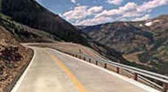
Enjoy a road among the clouds to Beartooth Pass in Wyoming
Beartooth Pass is a high mountain pass at an elevation of 3.342m (10,964ft) above sea level located in Park County, in the US state of Wyoming. It's one of the highest roads of Wyoming.
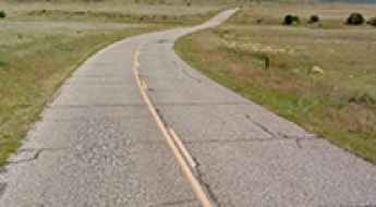
Gold Belt Scenic Byway is a scenic drive through Colorado's gold country
Gold Belt Scenic Byway is a very exciting journey through Colorado’s former mining country. It offers breathtaking scenery that you won't find anywhere else.
An epic enthralling road to Mount Baldy in Apache County
Mount Baldy is an extinct volcano at an elevation of 3.408m (11,181ft) above sea level, located in Apache County, in the U.S. state of Arizona It's one of the highest roads in Arizona.
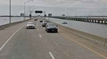
Hampton Roads Bridge Tunnel: 2-lane immersed-tube on artificial islands
Located in southeastern Virginia, in USA, the Hampton Roads Bridge Tunnel is a marvel of engineering, consisting of two 2-lane immersed-tube tunnels on artificial islands, with trestle bridges to shore.
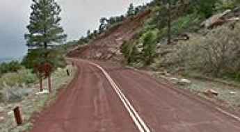
Kolob Canyons Road is an absolute must for road lovers in Utah
Kolob Canyons Road is a very scenic drive located in Washington County, in the US state of Utah. In winter, the road closes frequently during inclement weather.
Burro Wash Road is a scenic 4x4 trail in Nevada
Burro Wash Road is a scenic drive located in Clark County, in the US state of Nevada. The trail is a power line road that generally follows the Burro Wash canyon.
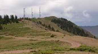
An epic enthralling road to Monroe Peak in Utah
Monroe Peak is a high mountain peak at an elevation of 3.421m (11,223ft) above sea level, located in Sevier County, in the U.S. state of Utah. It’s one of the highest roads in Utah.
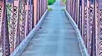
Miles Glacier Bridge is the bridge to nowhere in Alaska
The Miles Glacier Bridge, completed in the early 1900s, spans the Copper River in Alaska and is notable for its multiple-span Pennsylvania truss design. Built to facilitate a 196-mile railroad line for the Copper River and Northwestern Railway, the bridge was essential for transporting copper from the mining town of Kennicott to the port of Cordova. It is considered one of the most spectacular bridges in the world.

What Makes Bloody Bride Bridge in Wisconsin So Haunted?
Located in Portage County, in the US state of Wisconsin, Bloody Bride Bridge is reportedly haunted by the ghost of a bride. According to a local legend, she was killed in an accident here on the way to her wedding, thus giving it its name.

Top 10 Most Dangerous Roads in the USA
The United States’ National Highway System is the most extensive in the world, serving as a critical artery for international commerce and personal transit. However, this complexity comes with significant hazards. According to data from the World Health Organization (WHO) and the NHTSA, the U.S. averages eleven highway casualties per 100,000 residents annually—a rate three times higher than that of the U.K. Understanding the specific topographical and behavioral risks of these ten "lethal corridors" is essential for safe interstate navigation.
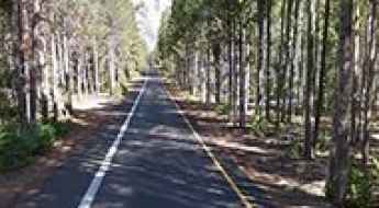
Driving the scenic Jenny Lake Loop Road in Wyoming
Jenny Lake Loop Road is a very scenic drive skirting the eastern shore of Jenny Lake, in Teton County, in the U.S. state of Wyoming.
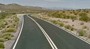
Valley of Fire Highway is an iconic drive in Nevada
Valley of Fire Highway is a very scenic drive located in the northeastern part of Clark County, in the US state of Nevada. The drive is honored for its surrounding beauty as well.
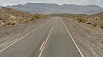
Driving the scenic road to Ubehebe Crater in the Death Valley NP
Ubehebe Crater Road is a paved road located in the desolate northern section of Death Valley National Park, in the US state of California, leading to Ubehebe Crater, a large volcanic crater of the Ubehebe Craters volcanic field.
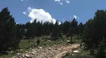
The outstanding 4x4 road to Bill Moore Lake in Colorado
Bill Moore Lake is a beautiful alpine lake at an elevation of 3,465m (11,368ft) above sea level, located in Clear Creek County, in the US state of Colorado.
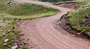
FR123 is a wild road in the Tushar Mountains of Utah
Forest Road 123 (FR123) is a highly challenging high mountain drive located in Piute County, in the US state of Utah. It's one of the highest roads in Utah, topping out at 3,503m (11,492ft) above sea level.
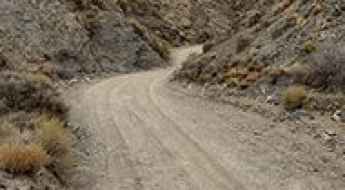
A remote unpaved road to Aguereberry Point in Death Valley NP
Aguereberry Point is a natural overlook at an elevation of 1,960m (6,433ft) above sea level, located in Inyo County, in the US state of California. It’s one of the challenging Backcountry roads in Death Valley National Park.
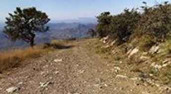
Driving the wild road to Mount Ord in Arizona
Mount Ord is a high mountain peak at an elevation of 2,173m (7,128ft) above sea level, located in Maricopa County, in the US state of Arizona. A high-clearance vehicle is recommended.
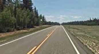
Travelling through the scenic Arizona State Route 67
State Route 67 (SR 67) is a very scenic drive winding through forest and meadows, located in the US state of Arizona, within the Grand Canyon National Park.
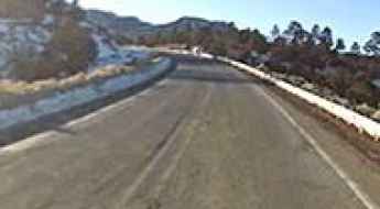
A classic road trip to Narbona Pass in New Mexico
Narbona Pass is a high mountain pass at an elevation of 2.658m (8,721ft) above sea level, located in San Juan County, in the US state of New Mexico.
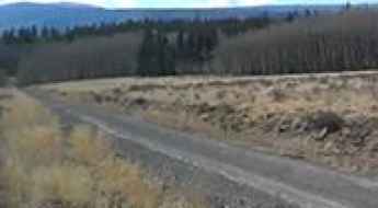
Driving the wild road to Los Pinos Pass in Colorado
Los Pinos Pass is a high mountain pass at an elevation of 3,213m (10,541ft) above sea level, located in the US state of Colorado.
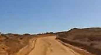
Hans Flat Road in Utah is worth the white-knuckle drive
Hans Flat Road is a rough unpaved track located in the heart of Wayne County, in the U.S. state of Utah. The trail is well graded and wide.
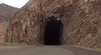
The narrow and winding road to Owyhee Lake in Oregon
Owyhee Lake is a reservoir located in Malheur County, in the U.S. state of Oregon. The drive to the lake is beautiful but on a narrow, winding two-lane road.
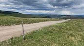
Coffee Pot Road #600 is an improved gravel road in Colorado
Located in Garfield County, in the U.S. state of Colorado, Coffee Pot Road #600 offers both beautiful scenery and views. The trail begins climbing immediately, through switchbacks and near big drop-offs with no guardrails.
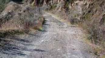
Ultimate 4WD Destination in California: Bull Creek Road (Burma Grade Trail)
Bull Creek Road (Burma Grade Trail) is a backcountry trail located in Mariposa County, in the U.S. state of California.
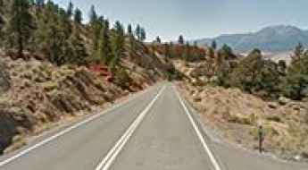
The road to Geiger Summit in is a drive worth taking in Nevada
Geiger Summit is a high mountain pass at an elevation of 2.076m (6,811ft) above sea level located in Washoe County, in the US state of Nevada. The pass was named after Davison M. Geiger, a local physician who financed its construction.
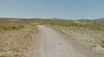
Driving the historic road to Bridger Pass in Wyoming
Bridger Pass is a high mountain pass at an elevation of 2,322m (7,618ft) above sea level, located in Carbon County, in the US state of Wyoming.
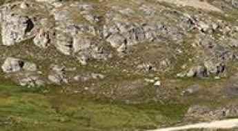
The rough and dangerous road to the turquoise Bullion King Lake in Colorado
Bullion King Lake is a high mountain lake at an elevation of 3.832m (12,572ft) above sea level, located in San Juan County, in the US state of Colorado. This trail is well worth the drive; however, it is steep in places and has a limited number of places to pass other vehicles. It's one of the highest roads in Colorado.
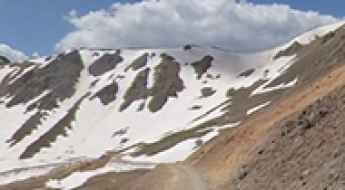
Driving the rough 4x4 road to Poughkeepsie Pass in Colorado
Poughkeepsie Pass is a high mountain pass at an elevation of 3.938m (12,919ft) above sea level, located in San Juan County, in the US state of Colorado. The road to the summit is very challenging, with tough conditions. It’s one of the highest roads of Colorado.
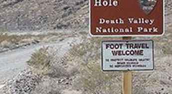
The unpaved road to Devil’s Hole in Nevada
Devil’s Hole is a subaqueous cavern, located in Nye County, in the US state of Nevada, with an eerie legend.
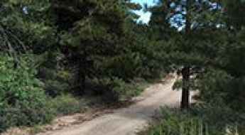
Pinal Peak is a road you'll never forget in Arizona
Pinal Peak is a high mountain peak at an elevation of 2.397m (7,864ft) above sea level, located in southern Gila County, in the US state of Arizona.
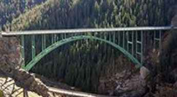
How high is the Red Cliff Bridge in Colorado?
The Red Cliff Bridge (officially known as the Silver Bridge or Eagle River Bridge) is a historic steel arch bridge spanning 143.5 meters (471 ft) in Eagle County, Colorado, USA. Carrying US Highway 24 over the Eagle River and Union Pacific railroad tracks, the bridge hangs 62 meters (204 ft) above the canyon floor near the town of Red Cliff. It's one of the most spectacular bridges in the world.