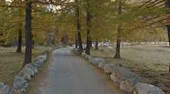
What are the most spectacular roads in Italy?
Located in the southern part of Europe, Italy is a dream for drivers as it hosts the mountain passes (the Alps), coastal drives (Adriatic, Ionian, Tyrrhenian, and Ligurian), and some of the most famous scenic routes in the world.
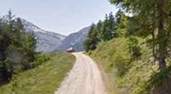
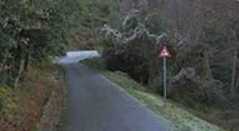
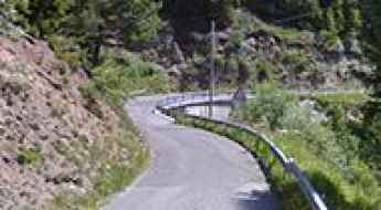
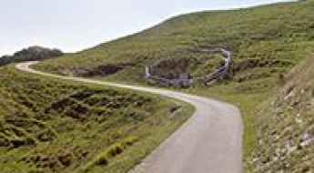
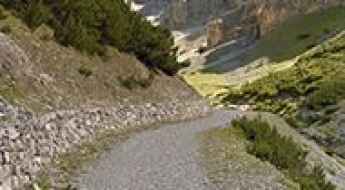
Choosing only a few roads to drive in the country is nearly impossible, as there are about 600 spectacular routes. Stelvio Pass is Europe's most famous road. At an elevation of 2,757m (9,045ft) above sea level, the pass is located in the northern part of the country. It's one of the highest roads in Europe. Featuring 48 hairpin turns, the road through the summit is a marvel of engineering.
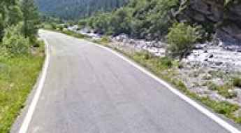
If you prefer coastal drives, you must experience the breathtaking Amalfi Coast Road. The road follows the shoreline from Sorrento south to Salerno. The road has been featured in films since cameras started rolling at 24 frames per second. If you want to feel like James Bond, don’t skip Strada della Forra. A small car with a functioning horn is recommended. For skilled drivers only. The drive is known by motorcyclists from all over Europe, as it is impressive and not without danger in a few narrow and steep spots. If you prefer roads with a story, don’t miss the Strada delle 52 Gallerie, a WWI military mule road. Built on the massif of Pasubio, it was constructed in this position to stay away from Austro-Hungarian artillery fire.
Cappella Madonna del Cotolivier
Cappella Madonna del Cotolivier is a high mountain chruch at an elevation of 2.086m (6,843ft) above the sea level,located in the Italian province of Turin, in Piedmont.
Conca Cialancia
Conca Cialancia is a high mountain pass at an elevation of 2.855m (9,366ft) above the sea level, located in the Parco Naturale di Conca Cialancia, in Torino, Italy.
Ghiacciaio dei Forni Refuge
Rifugio Ghiacciaio dei Forni is a high mountain refuge at an elevation of 2.178m (7,145ft) above the sea level, located in the Cedec valley, in the Lombardy region of the Alps in northern Italy.
Monte Lozze
Monte Lozze is a high mountain pass at an elevation of 1.920m (6,299ft) above the sea level, located in the province of Vicenza, Veneto, Italy.
Lago di Rochemolles
Lago di Rochemolles is a high mountain reservoir at an elevation of 1.982m (6,502ft) above the sea level, located in Piedmont, Italy, in the middle of Susa Valley.
Valanza Refuge
Rifugio Valanza is a high mountain refuge at an elevation of 1.748m (5,734ft) above the sea level, located in the Province of Cuneo in the Italian region Piedmont.
Sass del Mul
Sass del Mul is a high mountain peak at an elevation of 2.625m (8,612ft) above the sea level, located in Trentino in the northern Italian region Trentino-Alto Adige/Südtirol. It’s one of the highest mountain roads of the country.
Strada Provinciale 64 (SP64) is the road that has it all in the Veneto
Strada Provinciale 64 (SP64) is a highly challenging mountain road located in the province of Vicenza, Italy. This road offers jaw-dropping views, unparalleled freedom, and lots of fresh air.
Avanza da Pierabech Pass
Passo Avanza da Pierabech is a high mountain pass at an elevation of 1.740m (5,708ft) above the sea level, located in the Carnic Alps, northern Italy.
Pier Fortunato Calvi Refuge
Rifugio Pier Fortunato Calvi is a high mountain refuge at an elevation of 2.164m (7,099ft) above the sea level, located in the heart of the southern Alps in the Veneto region of Northern Italy.
Albergo Saltner Edelweiss
Albergo Saltner Edelweiss is a high mountain hotel at an elevation of 1.351m (4,429ft) above the sea level, located in the South Tyrol province of north Italy. The climb is simply brutal, with a maximum gradient of 30%.
Silvella Pass
Passo Silvella, also known as Kniebergsattel, is a high mountain pass at an elevation of 2.329m (7,641ft) above the sea level, located in the heart of the southern Alps in the Veneto region of Northern Italy.
Chalet Val Ferret
Chalet Val Ferret is an Alpine hotel at an elevation of 1.771m (5,810ft) above the sea level, located in northern Italy, in the autonomous region of Aosta Valley.
Lago Torrei
Lago Torrei is a mountain reservoir at an elevation of 874m (2,867ft) above the sea level, located in the Italian island of Sardinia.
Alpe di Rodengo
Alpe di Rodengo, also known as Rodenecker Alm, is a high mountain pass at an elevation of 1.715m (5,626ft) above the sea level, located in the Lüsner mountains in South Tyrol, Italy.
Bella Vista Refuge
Rifugio Bella Vista is a high mountain refuge at an elevation of 2.887m (9,471ft) above the sea level, located in Italy’s South Tyrol region.
Colla Domenica
Colla Domenica is a mountain pass at an elevation of 947m (3,106ft) above the sea level, located in the Province of Imperia in the Italian region Liguria.
Strada Berbenno di Valtellina-Caldenno
Berbenno di Valtellina-Caldenno road is one of the Most Insane Bike Rides You Don't Want to Miss. Located in the Province of Sondrio in the Italian region Lombardy, the climb is just brutal. The maximum slope is 40%. It’s one of the hardest and most epic climbs you can ride on two wheels.
Pian della Mussa
Pian della Mussa is a high mountain town at an elevation of 1.847m (6,059ft) above the sea level, located in the Province of Turin in the Italian region Piedmont.
Lago Layet
Lago Layet is a high mountain lake at an elevation of 2.273m (7,457ft) above the sea level, located in the Valle d’Aosta region, in northwestern Italy.
Corno della Paura
Corno della Paura is a high mountain pass at an elevation of 1.525m (5,003ft) above the sea level, located in Trentino in the northern Italian region Trentino-Alto Adige.
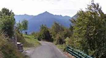
Valle Varaita
Valle Varaita is a valley in south-west of Piedmont, in the Province of Cuneo - Italy, at an elevation of 1.882m (6,174ft) above the sea level.
Valnontey
Valnontey is a small mountain town at an elevation of 1.666m above the sea level, located in Aosta Valley, in Italy.
Cima Mares
Cima Mares is a high mountain pass at an elevation of 1.561m (5,121ft) above the sea level, located in the Italian region Piedmont.
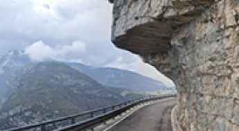
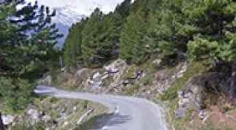
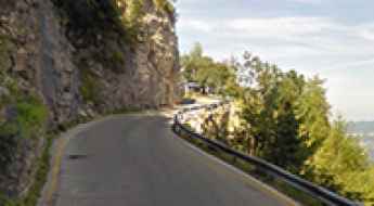
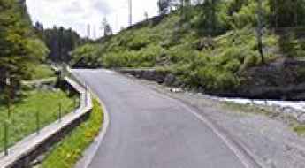
Driving the SP18 to Ranzo, the road carved into the rock
Located in the Autonomous Province of Trento, in Italy, Strada Provinciale 18 is a road dug into the rock and, at times, overhanging.
Monte Campigoletti
Monte Campigoletti is a high mountain pass at an elevation of 2.052m (6,732ft) above the sea level, located on the border of Veneto and Trentino Alto Adige, in northern Italy. During the World War I, one of the most fierce battles was fought on its slopes.
Colle del Prete
Colle del Prete is a high mountain pass at an elevation of 1.733m (5,685ft) above the sea level, located in the Province of Cuneo in the Italian region Piedmont.

Colle Puazzo
Colle Puazzo is a mountain pass at an elevation of 1.112m (3,648ft) above the sea level, located in the Italian region Piedmont.
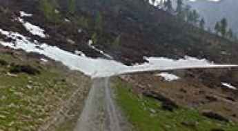
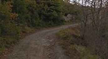
How to drive the unpaved road to Lago del Diavolo in Bergamo
Lago del Diavolo is a high mountain reservoir at an elevation of 2.126m (6,975ft) above sea level, located in the province of Bergamo, in Italy.
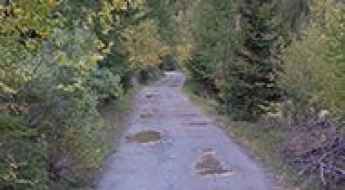
Translessinia
Translessinia (Strada Provinciale 14) is a very funny dirt-road experience in the Province of Verona in the Italian region Veneto, running entirely over 1.500m above the sea level.
La Riposa Refuge: Driving the 1,587m Climb in Piedmont
At an elevation of 2,205m (7,230ft) above sea level, La Riposa Refuge (locally known as Rifugio La Riposa) is a high mountain cabin located in the Metropolitan City of Turin, in the Piedmont region of Italy. Positioned on the slopes of Monte Rochemelon, the road to the refuge is a challenging alpine track used primarily by hikers and mountain rescue services.
Monte Cimonasso
Monte Cimonasso is a high mountain pass at an elevation of 2.085m (6,840ft) above the sea level, located in the province of Imperia in the Italian region Liguria.
Driving the vertical track to Rifugio Helios: A 2.328m climb in the Cottian Alps
Located in the heart of the Cottian Alps, in the Province of Cuneo, the ascent to Rifugio Helios is a brutal exercise in high-altitude logistics. Reaching an elevation of 2,328m (7,637ft) above sea level, this unpaved track—nominally part of the Strada Provinciale 251—is a relentless climb that rises high above the village of Maddalena. It is a road where the thin Alpine air and the verticality of the terrain demand total mechanical respect and a vehicle prepared for sustained high-torque operations.
How to drive the military road to Val Forcola
Val Forcola is a high mountain valley at an elevation of 2.126m (6,975ft) above sea level, located in the Province of Sondrio, in Italy.
How difficult is the unpaved road to Monte Borzalet in the Italian Alps?
Monte Borzalet is a high mountain summit reaching an elevation of 2,277m (7,470ft) above sea level, located in the Aosta Valley region of north-western Italy. Situated near the Great St Bernard Pass on the border with Switzerland, the road to the summit is a rugged unpaved track that winds through high-altitude pastures and rocky outcrops. This is a technical alpine drive where the steepness of the terrain and the narrowness of the path require a capable 4x4 vehicle and a driver prepared for the unpredictable conditions of the high Alps.
Monte Lagazuoi
Monte Lagazuoi is a high mountain peak at an elevation of 2.572m (8,438ft) above the sea level, located in the Veneto region of northern Italy. It’sone of the highest roads of the country.