What are the most spectacular roads in France?
France is a true paradise for those wishing to experience the most spectacular roads, and it provides endless experiences for each driver. From stunning balcony roads, mountain passes, and coastal drives, to roads disappearing with the tides, it hosts more than 750 roads listed as the most spectacular in the world.
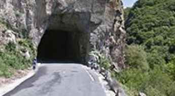
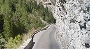
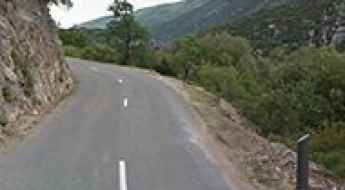
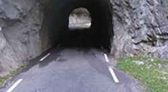
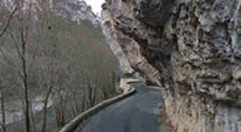
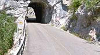
Located in the western part of Europe, France covers an area of 551,695 square kilometers and shares borders with 7 countries: Belgium, Luxembourg, Germany, Switzerland, Italy, Spain, and Andorra. With high mountains in the Alps and the Pyrenees, the roads of the country are famous worldwide because of the Tour de France, the most important cycling race. When traveling to the country, be sure to experience a drive through the best balcony roads. Dramatically carved out of rock on the side of mountains, the balcony roads are a unique experience for any rider.
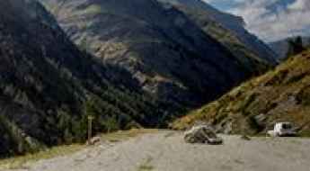
The country also hosts iconic roads, known worldwide, including Col du Chaussy, a mountain pass at 1,533m (5,029ft) above sea level, famous for the “Lacets de Montvernier,” a special 3 km stretch with 17 hairpins as the road virtually climbs a cliff, or Col de Turini, a treacherous Alpine road with a legendary driving history, as one of the most dangerous and challenging stages of the Monte Carlo Rally and one of the most scenic drives in the world. For those preferring another kind of experience, don’t forget to drive Passage du Gois, the tide-covered road. It’s a natural passage flooded twice a day by the high tide leading to the island of Noirmoutier.
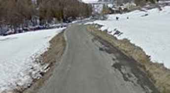
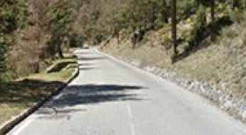
Driving the Scenic Balcony Road through Gorges de Chouvigny
Gorges de Chouvigny is a very scenic canyon straddling the Allier and Puy-de-Dôme departments of France. It’s one of the famous French balcony roads.
An iconic road to Col du Grand Colombier in the western Alps
Col du Grand Colombier is a high mountain pass at an elevation of 1.501m (4,925ft) above sea level, located in the department of Ain in France.
A French balcony road through Gorges du Bachelard
Gorges du Bachelard is a narrow, rocky canyon crammed with waterfalls, stone bridges, and soaring cliffs carved by the Bachelard River, located in the department of Alpes-de-Haute-Provence, in France. It's one of the French balcony roads.
A bumpy scenic road to Lac de Roterel in the Alps
Lac de Roterel is a high mountain lake at an elevation of 1,941m (6,368ft) above sea level located in the Savoie department in the Auvergne-Rhône-Alpes region of France.
Driving the scenic road to Col d’Olivier
Col d’Olivier is a mountain pass at an elevation of 711m (2,332ft) above sea level, located in the Alpes-de-Haute-Provence department of France.
An awe-inspiring drive to Belvedere du Viso in the Cottian Alps
Belvédère du Cirque du Mont-Viso is a natural viewpoint at an elevation of 2.147m (7,043ft) above sea level, located in the Hautes-Alpes department of France.
An iconic road to Col de Puymorens in the Pyrenees
Col de Puymorens is a high mountain pass at an elevation of 1,920 meters (6,299 feet) above sea level, located in the Pyrénées-Orientales department in France.
Gorges des Gats: A Balcony Road in France
Gorges des Gats is a canyon carved by the Ruisseau des Gats river, located in the Drôme department of France. It’s one of the famous balcony roads in France.
A sensational paved road to Col de l’Holme
Col de l’Holme is a mountain pass at an elevation of 1.207m (3,959ft) above sea level, located in the Isère department of France.
Superbagneres: the road continually snakes its way up ahead
Superbagnères is a ski station at an elevation of 1.804m (5,918ft) above sea level, located in the department of Haute-Garonne, in France.
Col de Ve Gautier: good road quality and pleasant grading
Col de Vé Gautier is a mountain pass at an elevation of 1.099m (3,605ft) above sea level, located in the Alpes-Maritimes department of France.
A brutal climb to Pointe du Bouchet in Savoie
Pointe du Bouchet is a high mountain peak at an elevation of 3.229m (10,593ft) above sea level, located in the Savoie department, in France. It’s one of the highest roads in Europe.
A wild paved road to the top of Col du Negron
Col du Négron is a mountain pass at an elevation of 1,242m (4,074ft) above sea level, located in the Drôme department of France.
Driving the 38 Hairpin Turns of the Steep Road D80 in Savoie
Located in the Savoie department of France, the challenging D80 road might not be your best choice if you're prone to car sickness. It is one of the most hairpinned roads in the world.
Road trip guide: Conquering Pic de Chateau Renard
Pic de Château Renard is a high mountain peak at an elevation of 2.936m (9,632ft) above sea level, located in the Hautes-Alpes department of France. It's one of the highest roads of Europe.
Les Détroits - D907BIS: A Balcony Road in France
Located in the Lozère department of France, the road through Les Détroits offers a thrilling driving experience. It’s one of the famous French balcony roads.
Cirque de Troumouse: a road with 31 hairpin turns in the Pyrenees
Cirque de Troumouse is a high alpine cirque located in the Hautes-Pyrénées department in France.
Mont du Chat is one of the toughest paved climbs in France
Mont du Chat (Cat’s Mountain) is a brutal mountain pass at an elevation of 1,504 meters (4,934 feet) above sea level, located in the Savoie department of France. It’s said to be one of the toughest paved climbs in France, with a 15% gradient in some sections.
A hairpinned paved road to the summit of Col de la Chaudiere
Col de la Chaudière is a mountain pass at an elevation of 1.047m (3,435ft) above sea level, located in the Drôme department, in France.
An epic paved road to Col de Restefond in the Alps
Col de Restefond is a high mountain pass at an elevation of 2.680m (8,790ft) above sea level, in the department of Alpes-de-Haute-Provence in France. It's one of the highest roads in the country.
A paved road to Chalet Hotel du Gioberney in the heart of the Ecrins Park
Chalet Hôtel du Gioberney is a high mountain refuge at an elevation of 1.649m (5,410ft) above sea level, located in the Hautes-Alpes department of France, within the Cirque du Vaccivier.
Clue du Riolan is a balcony road in France
Clue du Riolan is one of France's most beautiful canyons. Located in the Alpes-Maritimes department of France, it’s one of the French balcony roads.
An awe-inspiring road to Col du Cap Nestes in the Pyrenees
Col du Cap Nestès is a high mountain pass at an elevation of 1.683m (5,521ft) above sea level, located in the Hautes-Pyrénées department of France.
A curvy paved mountain road to Col de la Savoliere
Col de la Savolière is a mountain pass at an elevation of 1.421m (4,662ft) above sea level, located in the Haute-Savoie department of France.
A steep paved road (8.20%) to Lac de Plan d’Aval
Lac de Plan d’Aval is a high mountain reservoir at an elevation of 2.041m (6,696ft) above sea level, located in the Savoie department of France.
An epic paved road to Vallon du Melezet in the Alps
Vallon du Mélézet is a high mountain pass at an elevation of 1.821m (5,974ft) above sea level, located in the Hautes-Alpes department of France.
Aiguille de Peclet is one of the highest roads of Europe
Aiguille de Péclet is a high mountain peak at an elevation of 2,951m (9,681ft) above sea level, located in the Savoie department of France. It’s one of the highest roads in Europe.
An Explorer's Guide to Col de la Bailletta
Col de la Bailletta is a high mountain pass at an elevation of 2.852m (9,356ft) above sea level, located in the Savoie department in France.
An iconic road to Port de Boucharo in the Pyrenees
Port de Boucharo-Puerto de Bujaruelo is an international high mountain pass at an elevation of 2,278 m (7,473 ft) above sea level, located on the Spanish-French border. The last part of the road to the summit is blocked to vehicles by large rocks.
Orcieres Merlette is an iconic Tour de France climb
Station de Orcières Merlette is a ski resort at an elevation of 1,823 meters (5,980 feet) above sea level, located in the Hautes-Alpes department of France.
Col de l’Echarasson is a classic road trip in southeastern France
Col de l’Echarasson is a mountain pass at an elevation of 1.146m (3,759ft) above sea level, located in the Drôme department in France.
Driving a Balcony Road through Gorges du Guiers Mort
Gorges du Guiers Mort is a very scenic canyon located in the Isère department of France. It’s one of the French balcony roads.
Road Trip Guide: Conquering Col des Ruillans in the Hautes-Alpes
Col des Ruillans is a high mountain peak with an elevation of 3,231m (10,600ft) above sea level, located in the Hautes-Alpes department of France. It’s one of the highest roads in Europe.
An Iconic Road to Col du Joly in the French Alps
Col du Joly is a high mountain pass at an elevation of 1,989m (6,525ft) above sea level, located in the Rhône-Alpes region of France.
Driving the Sensational Road to Col de Guery
Col de Guéry is a mountain pass at an elevation of 1,268 m (4,160 ft) above sea level, located in the Puy-de-Dôme department of France.
A treacherous paved road to the summit of Col du Parquetout
Col du Parquétout is a mountain pass at an elevation of 1,448 m (4,750 ft) above sea level, located in the Isère department of France.
A Fantastic Road to Col des Saisies, with Great Views of Mont Blanc
Col des Saisies is a high mountain pass with an elevation of 1,657m (5,436ft) above sea level, located in the Savoie department of France. The pass is traversed by the scenic Route des Grandes Alpes.
A classic road trip to Col de l’Homme and Notre-Dame de la Salette
Col de l’Homme is a high mountain peak at an elevation of 1,766m (5,793ft) above sea level, located in the Isère department of France.
Driving an Iconic Alpine Road with Hundreds of Turns to Col des Champs
Col des Champs is a high mountain pass at an elevation of 2,092m (6,863ft) above sea level, located in the Provence-Alpes-Côte d'Azur region of France.
Driving a Balcony Road Through Cirque de Navacelles in France
Cirque de Navacelles is a deep, steep-sided canyon straddling the Hérault and Gard departments in France. It’s one of the most famous French balcony roads.
A sensational road to Lac de Fabreges in the Pyrenees
Lac de Fabrèges is a mountain lake at an elevation of 1.241m (4,072ft) above sea level, located in the Pyrénées-Atlantiques department of France.
An iconic road to Col Saint Martin in the Alpes-Maritimes
Col Saint Martin is a high mountain pass at an elevation of 1,500 m (4,921 ft) above sea level, located in the Alpes-Maritimes department of France. The pass is traversed by the scenic Route des Grandes Alpes.
How to get by car to Chateau de Queribus in Occitanie?
Perched high up on a rocky hill, Château de Quéribus is a castle located in the commune of Cucugnan in the Aude department of France.
How to Get by Car to the Abandoned Haut Asco Ski Resort in Corsica
Station de Ski du Haut Asco is an abandoned ski resort at an elevation of 1,509m (4,950ft) above sea level, located in Corsica, a French island in the Mediterranean Sea. It’s one of the highest roads in Corsica.
Lac de Cap-de-Long: One of the Highest Paved Roads in the French Pyrenees
Lac de Cap-de-Long is a high mountain lake located at an elevation of 2,161m (7,089ft) above sea level in the Hautes-Pyrénées department of France. It’s one of the highest paved roads in the French Pyrenees, even higher than the famous Col du Tourmalet.
