What are the most spectacular roads in Italy?
Located in the southern part of Europe, Italy is a dream for drivers as it hosts the mountain passes (the Alps), coastal drives (Adriatic, Ionian, Tyrrhenian, and Ligurian), and some of the most famous scenic routes in the world.
Choosing only a few roads to drive in the country is nearly impossible, as there are about 600 spectacular routes. Stelvio Pass is Europe's most famous road. At an elevation of 2,757m (9,045ft) above sea level, the pass is located in the northern part of the country. It's one of the highest roads in Europe. Featuring 48 hairpin turns, the road through the summit is a marvel of engineering.
If you prefer coastal drives, you must experience the breathtaking Amalfi Coast Road. The road follows the shoreline from Sorrento south to Salerno. The road has been featured in films since cameras started rolling at 24 frames per second. If you want to feel like James Bond, don’t skip Strada della Forra. A small car with a functioning horn is recommended. For skilled drivers only. The drive is known by motorcyclists from all over Europe, as it is impressive and not without danger in a few narrow and steep spots. If you prefer roads with a story, don’t miss the Strada delle 52 Gallerie, a WWI military mule road. Built on the massif of Pasubio, it was constructed in this position to stay away from Austro-Hungarian artillery fire.
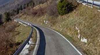
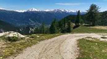
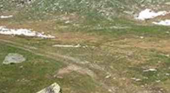
A Memorable Road Trip to Platigliole Pass in the Alps
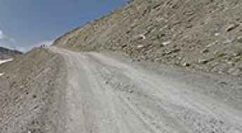
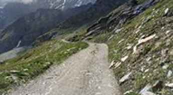
Passo delle Platigliole is a high mountain pass at an elevation of 2,908m (9,540ft) above sea level, located in the province of Sondrio, in Italy. It's one of the highest roads in Europe.
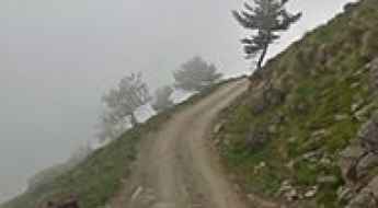
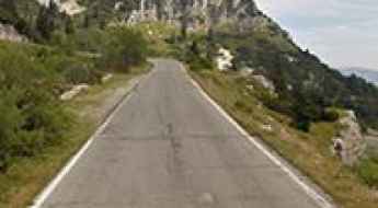
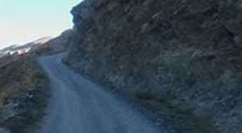
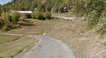
The road to Monte Paularo is not for the faint of heart
Monte Paularo is a high mountain peak at an elevation of 1,970m (6,463ft) above sea level, located in the Province of Udine, Italy.
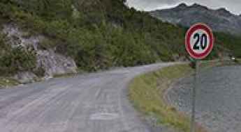
Forca d'Acero is an Italian iconic climb
Forca d'Acero is a high mountain pass at an elevation of 1,538m (5,045ft) above sea level, located on the boundary between Lazio and Abruzzo regions, in Italy.
A sensational paved road to Misurina Pass
Passo di Misurina is a high mountain pass at an elevation of 1,756m (5,761ft) above sea level, located in the Province of Belluno, Italy.

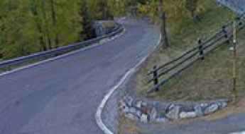
A narrow paved road to Colle Melosa
Colle Melosa is a high mountain pass at an elevation of 1,540m (5,052ft) above sea level, located in the Province of Imperia, Italy.
A military old road to Cima Bianca in Sondrio
Cima Bianca is a high mountain peak at an elevation of 2,977 m (9,767 ft) above sea level, located in the Province of Sondrio, in Italy. It's one of the highest roads in Europe.
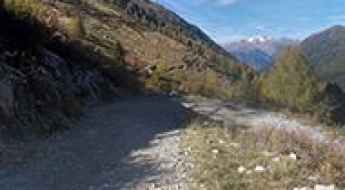
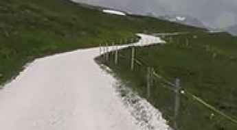
A very attractive road with endless bends to Bacino di Campo Moro in Valtellina
Bacino di Campo Moro is an alpine lake at an elevation of 2,013m (6,604ft) above sea level, located in the province of Sondrio, Italy.
The abandoned military road to Cima Ciantiplagna
Cima Ciantiplagna is a high mountain pass at an elevation of 2,849m (9,347ft) above sea level, located in the Metropolitan City of Turin.
How to get by car to Lago di Malciaussia?
Lago di Malciaussia is a high mountain lake at an elevation of 1,823 m (5,980 ft) above sea level, located in the Metropolitan City of Turin, in Italy.
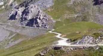
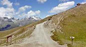
The Wild Road to Selleries Refuge
Rifugio Selleries is a high mountain refuge at an elevation of 2,023m (6,637ft) above sea level, located in the Metropolitan City of Turin, Italy. The road to reach the summit starts paved, but the last 5 km are on a dirt track.
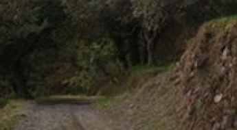
An old military road to Dordona Pass
Passo di Dordona is a high mountain pass at an elevation of 2,074m (6,804ft) above sea level, located in the Province of Bergamo, in Italy.
A military paved road to Teglia Pass
Passo della Teglia is a mountain pass at an elevation of 1,387 meters (4,550 feet) above sea level, located in the Province of Imperia, Italy.
A military road to Colle Bandia
Colle Bandia is a high mountain pass at an elevation of 2,429m (7,969ft) above sea level, located in the Province of Cuneo, Italy.
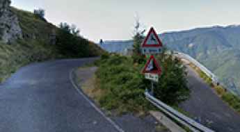
Bocca di Forca is one of the hardest climbs in Italy
Bocca di Forca is a high mountain pass at an elevation of 1,402 m (4,597 ft) above sea level, located in the province of Treviso, in Italy. It has been rated as one of the hardest climbs in Italy, with an average gradient of 11.44%.
The paved road to Valbona Pass in the Venetian Prealps
Passo Valbona is a high mountain pass at an elevation of 1,781m (5,843ft) above sea level, located in the Province of Vicenza, in Italy.
How to get to the summit of Kronplatz-Plan de Corones in South Tyrol?
Kronplatz-Plan de Corones is a high mountain pass at an elevation of 2,275m (7,464ft) above sea level, located in the Autonomous Province of Bolzano – South Tyrol, in Italy.
A Delightful Yet Challenging Road to the Summit of Monte Martello
Monte Martello is a high mountain pass at an elevation of 2,051m (6,729ft) above sea level, located in the Autonomous Province of Bolzano, in Italy. The gradient exceeds 10% for most of the final 1.3km, including the last 14% section with 1km remaining.
Driving the road to Colletto Pramand in the Alps is not a piece of cake
Colletto Pramand is a high mountain peak at an elevation of 2,145m (7,037ft) above sea level, located in the Metropolitan City of Turin, in Italy.
Travel Guide to Colletto Campanino
Colletto Campanino is a high mountain pass at an elevation of 2,142m (7,027ft) above sea level, located in the Cuneo province of Italy.
A postcard road to Lago di Cancano in Sondrio
Lago di Cancano is a high mountain reservoir at an elevation of 1,920m (6,299ft) above sea level, located in the Province of Sondrio, in Italy. The place is a postcard due to its stunning views.
A very bumpy, grueling road to Colle Lauson
Colle Lauson is a high mountain pass at an elevation of 2.497m (8,192ft) above sea level, located in the Province of Torino, Italy. It’s traversed by the iconic Assietta Road.
A paved narrow road to Guspessa Pass in the Alps
Passo di Guspessa is a high mountain pass at an elevation of 1,824m (5,984ft) above sea level, located in the province of Brescia, in Italy.
An old military road to Marchkinkele - Cometto di Confine
Marchkinkele - Cometto di Confine is a high mountain peak at an elevation of 2,545m (8,349ft) above sea level, located on the border between Austria and Italy. It's one of the highest roads in the country.
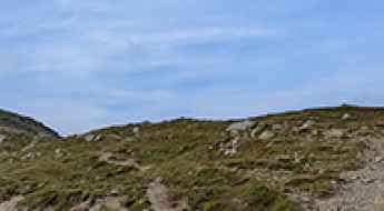
How to get by car to the scenic Castello Belvedere in Sicily?
Monte Belvedere di Fiumedinisi is a mountain peak at an elevation of 750m (2,460ft) above sea level, located in the Metropolitan City of Messina, in Italy.
Colle del Ghisallo is a paradise for cyclists in Lago Como
Colle del Ghisallo is a mountain pass at an elevation of 754m (2,473ft) above sea level, located in the Province of Como, in Italy. Near the summit, there’s a sanctuary called Santuario Del Ghisallo. This tiny church is home to the Patron Saint of Cyclists and includes a small cycling museum.
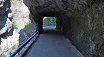
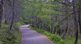
Orrido della Val Taleggio is an Italian balcony road
Orrido della Val Taleggio is a stunning canyon located in the province of Bergamo, in Italy. The road through the gorge is a delight to drive, with every kind of twist and turn.
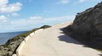
The Only Road on Asinara Island: Scenic Drive from Fornelli to Cala d’Oliva
The scenic Fornelli-Cala d'Oliva Road is the only paved road on the Italian island of Asinara, in the Mediterranean Sea. It is one of the best coastal drives in the world.
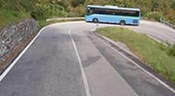
Driving Through the Curvy SP11 Road in Trentino
Strada Provinziale 11 (SP11) is a short mountain road located in Trentino, in the northern Italian region of Trentino-Alto Adige/Südtirol.
How to drive the iconic road to Oclini Pass in the Dolomites?
Passo di Oclini is a high mountain pass at an elevation of 1,995m (6,545ft) above sea level, located in the Trentino-Alto Adige/Südtirol region of Italy.
How to get by car to Duca degli Abruzzi Refuge in the Aosta Valley?
Rifugio Oriondé-Duca degli Abruzzi is a high mountain refuge at an elevation of 2809m (9215ft) above sea level, located in the Province of Aosta in Italy.
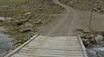
Crossing the Laghi di Cedèc bridge: A 2.743m wooden platform in Stelvio
Located deep within the Parco Nazionale dello Stelvio, in the northern Italian province of Sondrio, the Laghi di Cedèc bridge is a high-altitude crossing that tests the limits of technical driving. Sitting at an elevation of 2,743m (8,999ft) above sea level, this precarious wooden structure serves as the only transit over a fast-flowing glacial river on the ascent toward the Cedèc lakes and the Pizzini refuge. It is a point where the raw power of the Alps meets a simple, unprotected platform, demanding absolute precision from any vehicle attempting the crossing.
A 5-star road to Passo Campo Carlo Magno in the Italian Alps
Passo Campo Carlo Magno is a high mountain pass at an elevation of 1.682m (5,518ft) above sea level, located in the Autonomous Province of Trento, in Italy.
Strada Militare del Colle della Vecchia is an old military road built in the 1880s
Strada Militare del Colle della Vecchia is an old military road located in the metropolitan city of Turin, built in the 1880s and closed to motor vehicles, winding its way up to 2,000m above sea level.
A Paved Road to Cereda Pass in the Dolomites
Passo Cereda is a mountain pass at an elevation of 1,361 m (4,465 ft) above sea level, located in Italy.
How to get by car to the scenic Lago Ponton in the Aosta Valley?
Lago Ponton is a high mountain lake at an elevation of 2645m (8677ft) above sea level, located in the Province of Aosta in Italy. It’s one of the highest roads in the country.
A steep paved road to Col Tze Core in the Aosta Valley
Col Tze Core is a high mountain pass at an elevation of 1,607m (5,272ft) above sea level, located in the Aosta Valley region of Italy.