What are the most spectacular roads in Switzerland?
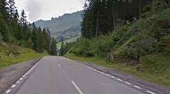
Set high in the Alps, in the central part of Europe, Switzerland offers a driving experience like no other. With about 200 of the most famous roads in the world, it’s worth noting the challenging mountain roads the country offers, renowned for their stunning Alpine landscapes.
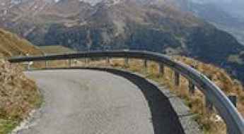
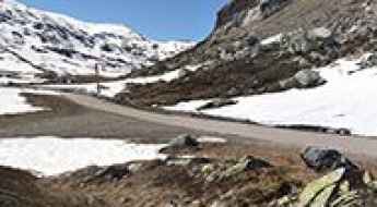
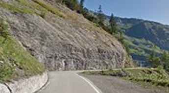
Most of the country's roads are on the list of the most famous and iconic drives worldwide. So, when travelling to the country, you need to try Furka Pass, the Alpine road for James Bond. The pass was immortalized by the Aston Martin DB5 / Ford Mustang car chase in James Bond's Goldfinger. It’s one of the most famous Alpine roads in Switzerland. Or the amazing mountain road to St. Gotthard Pass, at an elevation of 2,110m (6,922ft) above sea level. It’s also worth driving through Great Saint Bernard Pass, one of the most famous roads in the Alps, climbing up to 2,469m (8,100ft) above sea level on the border with Italy.
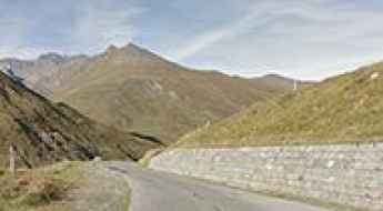
The list wouldn’t be complete without Grimsel Pass, a 5-star road in the Swiss Alps, on the border between the Bern and Valais cantons, or the Umbrail Pass, an iconic Alpine road with 35 hairpin turns on the Swiss-Italian border. The road to the summit is currently the highest paved road in Switzerland and one of the highest paved roads in the Alps.
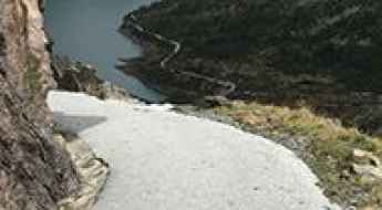
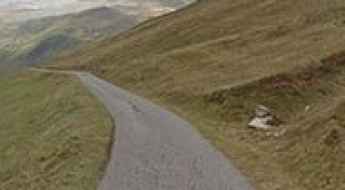
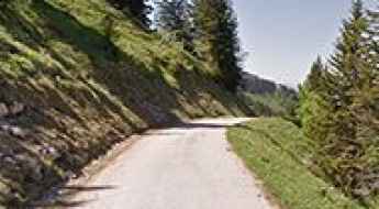
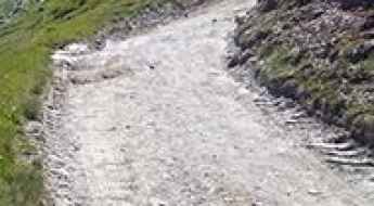
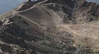
A narrow road with 15% parts and unlit tunnels to Lac du Vieux Emosson
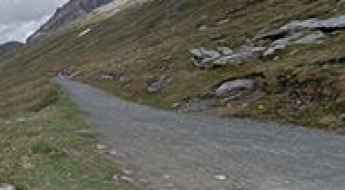
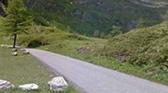
Lac du Vieux Emosson is a high mountain reservoir at an elevation of 2,205m (7,234ft) above sea level, located in the Canton of Valais, in Switzerland. The road is closed to private vehicles.
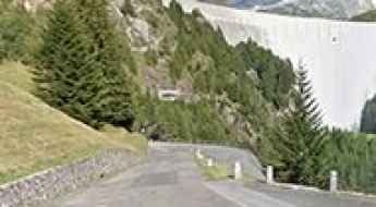
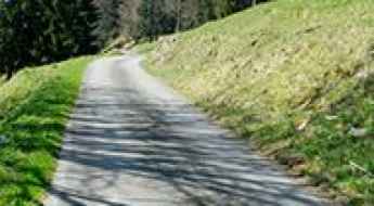
A steep curvy road to Cleuson Lake in Valais
Lac de Cleuson is a high mountain reservoir at an elevation of 2,186 m (7,171 ft) above sea level, located in the canton of Valais in Switzerland.
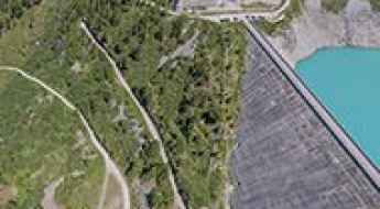
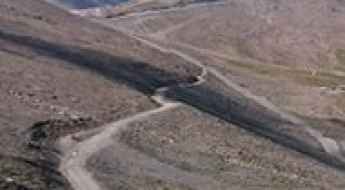
The road to Luzzone Lake in Ticino: an average gradient of 9.5%
Lago di Luzzone is a high mountain reservoir at an elevation of 1,613 m (5,291 ft) above sea level, located in the canton of Ticino in Switzerland.
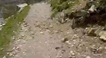
Adventure along the mule track to Scaletta Pass in the Swiss Alps
Scalettapass is a high mountain pass at an elevation of 2,606 m (8,550 ft) above sea level, located in the canton of Graubünden, in Switzerland.
Alpe Galm, One of the Hardest Roads of the Alps
Alpe Galm is a high mountain peak at an elevation of 2,231 m (7,319 ft) above sea level, located in the canton of Valais in Switzerland.
Road trip guide: conquering Lake Gruebu
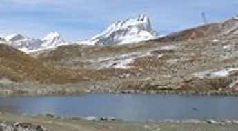
Grüebusee is an alpine lake at an elevation of 2,862 m (9,389 ft) above sea level, located in the district of Visp in Switzerland.
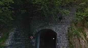
Driving the wild Tälligrattunnel
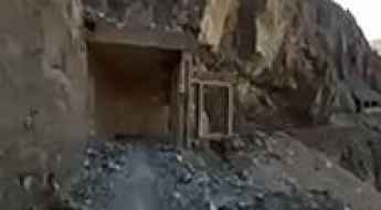
Tälligrattunnel is a high mountain tunnel located in the canton of Valais in Switzerland.
An iconic road to Griessee in the Swiss Alps
Griessee is a high mountain lake at an elevation of 2.386 m (7,828 ft) above the sea level, located in Valais, in the southwestern part of Switzerland.
How to drive the steep road to Alp Anarosa in Graubünden
Alp Anarosa is a high mountain pass at an elevation of 2.348m (7,703ft) above sea level, located in the Swiss canton of Graubünden.
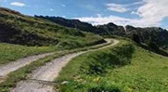
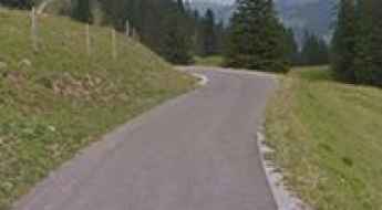
Moosalp (Col de Moos): an epic road in the Alps
Moosalp (also called Col de Moos) is a high mountain pass at an elevation of 2.048m (6,719ft) above the sea level, located across the western Pennine Alps, in the canton of Valais in Switzerland.
A memorable road trip to Strelapass
Strelapass is a high mountain pass at an elevation of 2.352m (7,716ft) above the sea level, located in the district of Prättigau/Davos in the canton of Graubünden, Switzerland.
The picturesque road to Pas de Morgins
Pas de Morgins is an international high mountain pass at an elevation of 1.378m (4,520ft) above the sea level, located on the border of France and Switzerland.
The completely deserted road to Col de Chaude
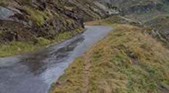
Col de Chaude (also known as Col de Chaudoz) is a high mountain pass at an elevation of 1.600m (5,300ft) above the sea level, located in the canton of Vaud, Switzerland, in the district of Aigle. For 11 out of the 13 km to the top, the road is well above 10% on average.
A narrow scenic road to Mont Tendre
Mont Tendre is a high mountain pass at an elevation of 1.679m (5,508ft) above the sea level, located in the Jura mountains, in the canton of Vaud, in Switzerland. It’s another of those amazing, steep, deserted Jura roads climbing through the woods
The road to Passo Scimfuss, a chillout in high mountains
Passo Scimfuss is a high mountain pass at an elevation of 2.242m (7,355ft) above the sea level, located in the district of Leventina in the canton of Ticino in Switzerland.
An epic climb to Col de l'Aiguillon in the Jura Mountains
Col de l'Aiguillon is a mountain pass at an elevation of 1.293m (4,242ft) above the sea level, located in the canton of Vaud, in Switzerland. The pass is very close to the French-Swiss border.
The scenic trail from Gemmipass to Daubensee
Daubensee is a high mountain lake at an elevation of 2.205 m (7,234 ft) above the sea level, located in Valais, Switzerland.
Alpe di Cadinello
Alpe di Cadinello is a high mountain pass at an elevation of 1.828m (5,997ft) above the sea level, located in the canton of Ticino in Switzerland.
A memorable road trip to Lai da Vons
Lai da Vons is a high mountain lake at an elevation of 1.991m (6,532ft) above sea level peacefully nestled between the Rheinwald forest and Val Schons, in the district of Hinterrhein in the Swiss canton of Graubünden.
A curvy paved road to Lago della Sella
Lago della Sella is a high mountain reservoir at an elevation of 2.297m (7,536ft) above the sea level, located in the canton of Ticino, Switzerland.
Driving the wild Col des Mines
Col des Mines is a high mountain pass at an elevation of 2.327m (7,634ft) above the sea level, located in the district of Entremont in the canton of Valais, Switzerland.
Lenzerheide Pass
Lenzerheidepass is a high mountain pass at an elevation of 1.547m (5,075ft) above the sea level, located in the canton of Graubünden in Switzerland.
Bassa della Sella, a Most Tricky Scenic Road
Bassa della Sella is a high mountain pass at an elevation of 2.138m (7,014ft) above the sea level, located in the canton of Ticino, Switzerland.
Sex de Marinda
Sex de Marinda is a high mountain pass at an elevation of 2.797m (9,176ft) above the sea level, located in the Swiss canton of Valais.
Parpaner Rothorn
Parpaner Rothorn is a high mountain peak at an elevation of 2.857m (9,373ft) above the sea level, located in Switzerland’s Graubünden canton.
How to drive to Juf, the highest village in Europe?
Juf is a high mountain village located at an elevation of 2,126m (6,975ft) above sea level in the canton of Graubünden, Switzerland. Situated in the Avers high Alpine valley, it is officially recognized as the highest village in Europe with year-round residents. The settlement lies at the base of the Septimerpass, surrounded by high Alpine peaks.
How to drive the extreme chairlift access road to Greitspitz?
Greitspitz, also known as Greitspitze, is a high mountain peak at an elevation of 2,876 meters (9,435 ft) above sea level, located on the international border between Switzerland (Grisons canton) and Austria (Tyrol). Positioned within the Samnaun and Ischgl ski domains, the summit is reached via an extreme unpaved mountain track used for chairlift and ski resort infrastructure maintenance.
Mittelbergpass, an awe-inspiring lonely road
Mittelberg Pass is a high mountain pass at an elevation of 1.633m (5,357ft) above the sea level, located in the canton of Bern in Switzerland.
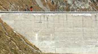
Lac de Mauvoisin
Lac de Mauvoisin is a high mountain reservoir at an elevation of 1.961m (6,433ft) above the sea level, located in the Valais region of Switzerland.
A memorable road trip to Hohtälli
Hohtälli is a high mountain peak at an elevation of 3.274m (10,741ft) above the sea level, located in the canton of Valais, in the southwestern part of Switzerland. It’s one of the highest roads of Europe.
Lac de Tseuzier
Lac de Tseuzier is an artificial lake at an elevation of 1.780m (5,839ft) above the sea level, located north of Crans-Montana in the Swiss canton of Valais. There are really steep sections, up to 27%.
Lago dei Cavagnöö: Driving the Isolated Cableway-Accessed Road in Ticino
Lago dei Cavagnöö is a high-altitude water reservoir situated at an elevation of 2,352 meters (7,716 ft) above sea level in the Maggia Valley of the Ticino canton, Switzerland. The asphalted road running to the reservoir is completely isolated from the Swiss public highway network, forming a disconnected mountain track system.
The challenging path to Durannapass
Durannapass is a high mountain pass at an elevation of 2.117m (6,945ft) above the sea level, located in the district of Prättigau/Davos in the canton of Graubünden, Switzerland.
How to drive the road to Col de Bretaye in the Swiss Alps?
Col de Bretaye is a high mountain pass at an elevation of 1,806m (5,925ft) above sea level, located in the Canton of Vaud, Switzerland. The road to the summit, known as Chemin de Bretaye, is a high-altitude climb that takes you through the heart of the Villars-sur-Ollon mountains, right past the Lac de Bretaye.
How to get to Palinkopf in the Samnaun Alps
Palinkopf is an international high mountain peak at an elevation of 2,863m (9,393ft) above sea level, located on the border between Switzerland and Austria. It’s one of the highest roads in the country.
How to drive the paved road to Col du Marchairuz in Vaud?
Col du Marchairuz is a mountain pass at an elevation of 1.447m (4,747ft) above sea level, located in the canton of Vaud in Switzerland.