How to drive the high-altitude track to Pico Miranda?
Pico Miranda is a high mountain peak reaching an elevation of 4,162 meters (13,654 ft) above sea level in the Mérida State of western Venezuela. Situated within the Sierra de la Culata National Park, the unpaved mountain track branches off near La Venta and ranks among the highest roads of Venezuela.
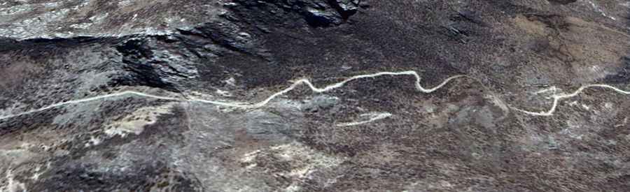
| Road facts: Pico Miranda | |
|---|---|
| Location | Mérida State (Venezuela) |
| Elevation | 4,162 m (13,654 ft) |
| Length | 7.0 km (4.34 miles) from La Venta |
| Surface | Unpaved loose rock, scree, and páramo mud |
| Vehicle Requirement | High-clearance 4WD with low-range gearbox mandatory |
| Key Hazards | 30-35% atmospheric engine power loss, zero visibility fog, soft shoulder collapse |
Where is the road to Pico Miranda located?
The track ascends the high páramo terrain of Sierra de la Culata National Park in Mérida State, western Venezuela. The 7-kilometer unpaved spur begins near the high-altitude settlement of La Venta along the Trans-Andean Highway (Carretera Trasandina) and climbs north to the 4,162-meter peak.
Is the road to Pico Miranda unpaved?
Yes. The entire 7-kilometer track is unpaved, consisting of loose stone, deep ruts, and uncompacted soil. Constant high-altitude rain and fog erode the trackbed, requiring high ground clearance and 4WD low-range capability to clear loose rock ramps and mud patches.
What hazards exist when driving to Pico Miranda?
The primary physical hazards are rapid power loss (30% to 35%) due to low oxygen levels at 4,162 meters, sudden mountain fog (neblina) that drops visibility to near zero, and unstable outer shoulders that erode into steep valley sides. Rain turns the unpaved surface into slippery mud ramps without protective guardrails.
How long is the road to Pico Miranda?
The climb covers 7.0 kilometers (4.34 miles) from the junction at La Venta to the summit area. Low-speed driving over deep ruts, high-gradient ramps, and loose scree requires over 45 minutes of continuous low-range driving.