How to get by car to Apartaderos, one of the highest towns of Venezuela
Located in Mérida State, in Venezuela, Apartaderos is one of the highest towns in the country, at an elevation of 3,505 m (11,499 ft) above sea level. It’s also one of the highest towns accessible by car on Earth.
Where is Apartaderos?
The town is located in the western part of the country, at the intersection of three river valleys: the Chama, the Santo Domingo, and the Motatán. Set high in the Andes, the area features a cool mountain climate despite being in the tropics. Due to its high altitude, the town has a temperate to cold climate, with frequent fog and chilly temperatures, especially at night. Frost can occur in the winter months.
Is the road to Apartaderos paved?
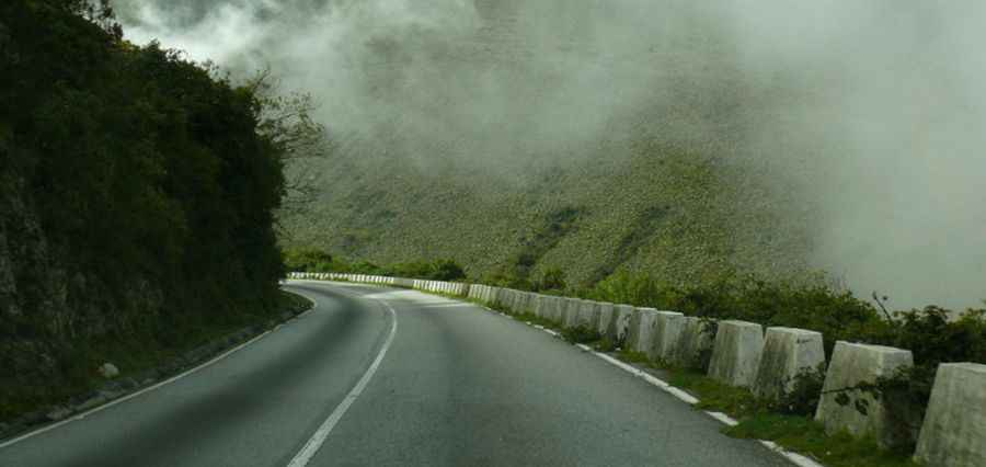
The road to the town is fully paved but still challenging, with steep sections and many curves, including a few hairpin turns. It’s called Carretera Transandina – Troncal 7. Drivers should be cautious in foggy or rainy conditions. High-altitude driving tips include checking brakes, tires, and cooling systems, and being aware that oxygen levels are lower, which can affect both people and vehicles.
How long is the road to Apartaderos?
The road to the town is 56.5 km (35.10 miles) long, starting from Mérida. Plan extra time for stops at scenic viewpoints along the way, where you can admire the valleys and river intersections.
What can you do in Apartaderos?
Apartaderos is a base for exploring the high Andes. The surrounding landscape offers hiking, birdwatching, and local farm visits. Local restaurants serve traditional Andean dishes, and small inns provide cozy accommodations for travelers. Don’t miss the chance to enjoy the sunrise over the Chama Valley, especially when the fog clears from the peaks.
Pic: jopimalg. http://picssr.com/photos/jopimalg/page49?nsid=85232456@N00