What are the highest roads in Venezuela?
Situated on the northern coast of South America, Venezuela takes the shape of an inverted triangle. It shares its borders with the Caribbean Sea and the Atlantic Ocean to the north, Guyana to the east, Brazil to the south, and Colombia to the west. This former Spanish colony is slightly smaller than twice the size of California.
Within Venezuela, four distinct geographical regions unfold: Venezuelan Highlands: Home to towering mountains; Maracaibo Lowlands: A region characterized by unique landscapes; Orinoco Plains: Vast river plains that contribute to the country's diverse terrain; Guiana Region: Adding its own distinctive flavor to the Venezuelan landscape.
This nation is celebrated for its striking landscapes, considered by many as some of the finest in South America. With 43 national parks, Venezuela offers a wide variety of environments, including tropical jungles, arid coastal plains, and broad river plains, making it a geographical treasure worth exploring.
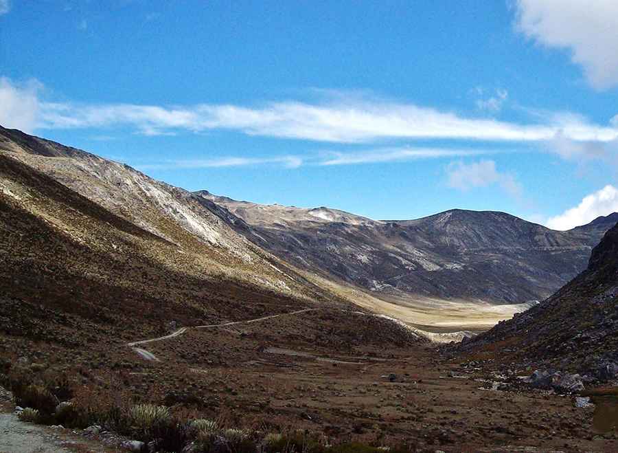
Highest roads in Venezuela
| Mountain | Elevation | State | Surface |
|---|---|---|---|
| Pico Las Pailas | 4.579m (15,022ft) | Mérida | Unpaved |
| Alto de Mifafi | 4.414m (14,481ft) | Mérida | Unpaved |
| Domo de La Culata | 4.291m (1,4078ft) | Mérida | Paved |
| Páramo Miranda | 4.162m (13,654ft) | Mérida | Unpaved |
| Collado del Condor | 4.050m (13,287ft) | Mérida | Paved |
Pic: Jineska Sanoja