How to drive the 4,956m Cerro Yaritani in the Peruvian Andes?
Cerro Yaritani is a high mountain pass at an elevation of 4,956m (16,259ft) above sea level, located in the Cusco Region of southeastern Peru.
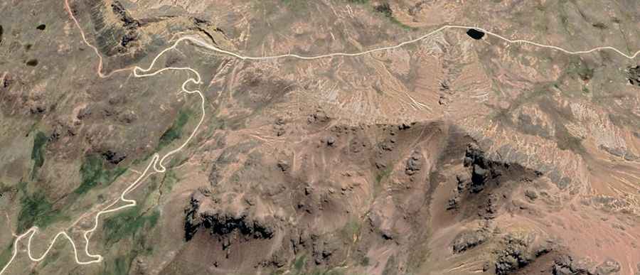
| Road facts: Cerro Yaritani (Cusco) | |
|---|---|
| Location | Cusco Region, Peru |
| Elevation | 4,956 m (16,259 ft) |
| Length | 17.7 km (10.9 miles) from Sayapampa |
| Average Gradient | 6.44% |
| Surface | Unpaved (Gravel / Loose volcanic debris) |
How long is the road to Cerro Yaritani?
Starting from Sayapampa, the road to the summit is 17.7 km (10.9 miles) long. Over this distance, the elevation gain is 1,140 meters, and the average gradient is 6.44%.
Is the road to Cerro Yaritani unpaved?
The road to the summit is totally unpaved and frequently bumped due to the lack of heavy maintenance. A 4x4 vehicle is required.
How challenging is the road to Cerro Yaritani in winters?
Set high in the Vilcanota range, the weather can be extreme. Even a single rainfall can turn the gravel road into a high-risk corridor. It receives heavy snowfalls in winters.