How to drive the 32 hairpin turns to the summit of Pampa Huilacollo
Pampa Huilacollo is a high mountain plateau at an elevation of 4.625m (15,173ft) above sea level, located in the province Mariscal in Peru. The average gradient is 11.46%.
Where is Pampa Huilacollo?
The plateau is located in Moquegua Region, in the southern part of the country.
Is Pampa Huilacollo paved?
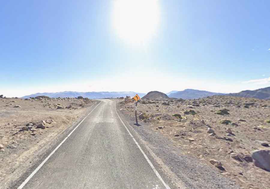
The road to the summit was fully paved in the 2020’s. It’s called MO-528. The drive includes countless turns and 32 hairpin turns. The road is steep, with an average gradient of 11.46%. Along the way, the road is very narrow and features dangerous drops.
How long is the road through Pampa Huilacollo?
The road is 36km long, running north-south from Muylaque to San Cristóbal.