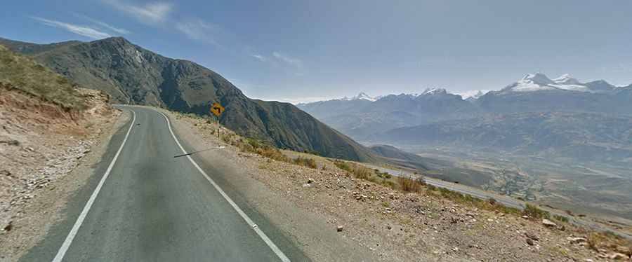
Driving the Challenging AN 104 Road to Chicarhuapunta
Chicarhuapunta is a high mountain pass at an elevation of 4,289m (14,071ft) above sea level, located in the Huaylas Province of Peru.
Where Is Chicarhuapunta?
The pass is located in the Ancash Region, in the western part of the country, high in the Cordillera Blanca range.
Is the Road to Chicarhuapunta Paved?
The road to the summit is brutal. It’s called Carretera 104 (AN 104) and consists of both paved and unpaved sections. The road is very narrow and lacks guardrails. Along the way, you’ll have to deal with dangerous drop-offs. Expect more than 300 turns, including around 100 hairpin bends.
How Long Is the Road to Chicarhuapunta?
The road through the summit is 141km (88 miles) long, running east to west from Pueblo Libre to Huambacho.
How Steep Is the Climb to Chicarhuapunta?
The road has very steep sections. Starting from Tocash, the ascent is 32.6km long. Over this distance, the elevation gain is 1,937 meters, with an average gradient of 5.94%, reaching up to 12% in some sections.