TA-104 Road: Driving the narrow lakeside cliffs of Laguna Aricota
Located in the Tacna Region of southern Peru, the TA-104 is a challenging regional road that offers a high-stakes driving experience. Stretching through a barren, volcanic landscape, this route is a vital link in the high desert, but its technical nature and extreme exposure make it a journey reserved for those with nerves of steel and a reliable vehicle.
| Road facts: TA-104 Road | |
|---|---|
| Location | Tacna Region, Southern Peru |
| Elevation | 2,917 m (9,570 ft) |
| Length | 55.7 km (34.6 miles) |
| Surface | Mostly Unpaved / Gravel |
| Hazard Level | High (No protections & steep drops) |
Where is the TA-104 Road?
The road spans 55.7 km (34.6 miles), running west to east through the rugged mountains of Tacna. It connects the settlement of Mirave with Pallata, topping out at an elevation of 2,917m (9,570ft) above sea level. This is a pure Andean desert environment where the road carves through steep canyons and climbs over high ridges, providing a direct but dangerous link between the coastal valleys and the higher altiplano reaches.
Is the TA-104 Road unpaved?
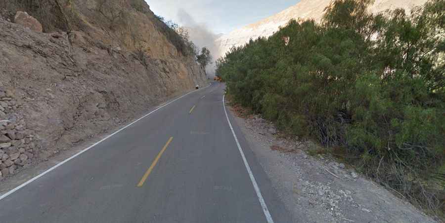
The road is mostly unpaved and consists of a narrow track of gravel and loose dust. The driving surface is often carved directly into the mountainside, where the rock walls are prone to erosion. The most defiant and dangerous part of the TA-104 occurs when the road runs along the northern shore of Laguna Aricota. Here, the track narrows significantly, clinging to the cliffside with absolutely no protections or guardrails above the deep blue waters. One small lapse in concentration or a loose shoulder could send a vehicle directly into the lake.
How challenging is the drive on TA-104?
The technical difficulty of the TA-104 is defined by its 36 hairpin turns that snake up and down the desert ridges. These switchbacks are tight and require careful steering, especially when encountering local traffic on the narrowest bends. The contrast between the sheer rock face on one side and the vertical drop on the other is constant. Because the road is unpaved, dust can become a major visibility issue, and the surface can get slippery if moisture from the "camanchaca" (coastal mist) reaches this altitude.
What are the hazards when driving along Laguna Aricota?
The lakeside section is notorious for its vertigo-inducing exposure. The gravel surface can be unstable, and the proximity to the water means that there is zero margin for error. Additionally, the rock walls above the road are constantly shedding debris, so drivers should stay alert for fallen stones or small landslides that can block the path. A high-clearance vehicle is strongly recommended to navigate the ruts and rocky sections. It is vital to travel during daylight hours, as the lack of lighting and the unpredictable nature of the drop-offs make night driving on the TA-104 a life-threatening risk.