Driving the paved 20A road to Laguna Huascachoca
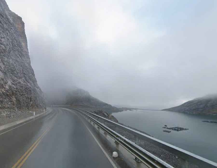
Laguna Huascachoca is a high-altitude glacial lake at an elevation of 4,485 meters (14,714 ft) above sea level, located on the border between the Pasco and Junín regions in central Peru. The lake sits along Route 20A, a paved mountain highway crossing the central Andean plateau.
| Road facts: Laguna Huascachoca (Route 20A) | |
|---|---|
| Location | Pasco / Junín region border (Peru) |
| Elevation | 4,485 m (14,714 ft) |
| Road Name | Route 20A |
| Length | 41 km (25.4 miles) |
| Surface | Paved |
Where is Laguna Huascachoca located?
The lake is located in the central highlands of Peru, marking the boundary between the departments of Pasco and Junín. Route 20A runs along the shoreline of the lake as it crosses the high plateau between Huayllay and the mountain passes to the south.
What are the driving conditions past Laguna Huascachoca?
Route 20A is fully paved and maintained in good condition. However, frequent fog, drizzle, and freezing rain keep the asphalt wet and slick. The road runs right alongside the water with guardrails separating the lane from the lake shore. Heavy mining trucks use this sector regularly, taking up significant lane width on the bends and requiring extra stopping distance on wet pavement.
How long is the road past Laguna Huascachoca?
The sector spans 41 kilometers (25.4 miles), running north to south from the town of Huayllay toward Abra de la Viuda. At 4,485 meters altitude, engines experience a significant loss of power, making acceleration slow on slopes. On downhill stretches, drivers should use low gears to engine brake rather than riding the brakes continuously along the mountain curves.