Driving the paved 20A road to Laguna La Viuda and Laguna Chuchon
Laguna La Viuda and Laguna Chuchon are two high-altitude glacial lakes located in the Cordillera de la Viuda, within the Lima Region of Peru. The lakes are accessed via Route 20A, a paved mountain road that crosses the Western Andes at over 4,500 meters above sea level.
| Road facts: Laguna La Viuda & Laguna Chuchon (Route 20A) | |
|---|---|
| Location | Canta Province, Lima Region (Peru) |
| Elevation | 4,560 m (Laguna La Viuda) / 4,465 m (Laguna Chuchon) |
| Road Name | Route 20A |
| Length | 51 km (31.6 miles) |
| Surface | Paved |
Where are Laguna La Viuda and Laguna Chuchon located?
Both lakes sit in Canta Province, high in the Peruvian Andes. Laguna La Viuda is located at an elevation of 4,560 meters (14,960 ft), while Laguna Chuchon sits slightly lower down the pass at 4,465 meters (14,648 ft). Route 20A runs past both lakes as it climbs toward Abra de la Viuda.
Is the road to Laguna La Viuda and Laguna Chuchon paved?
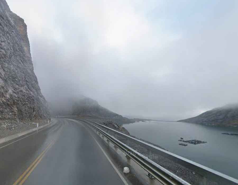
Yes, Route 20A is fully paved. The asphalt is in good condition, but the road runs along the edge of the lakes with narrow shoulders. Thick fog frequently hits the high pass, reducing visibility significantly. Mining trucks regularly use Route 20A, requiring drivers to give way on sharp turns and keep a safe distance, especially when the asphalt is wet or icy.
How long is the road past Laguna La Viuda and Laguna Chuchon?
The road spans 51 kilometers (31.6 miles) between the high pass at Abra de la Viuda and the town of Canta. At 4,560 meters altitude, the thin air causes a loss of engine power, making acceleration slow on the uphill sections. On the long descent toward Canta, drivers must use low gears to engine brake and prevent brake pads from overheating on the continuous slope.