A memorable road trip to Abra Apacheta
Abra Apacheta is a high mountain pass at an elevation of 4.762m (15,623ft) above the sea level, located on the boundary between Huancavelica and Ayacucho regions of Peru.
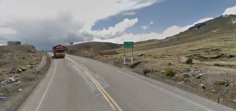
The road to the summit is totally paved. It’s called 28A. The wind is usually quite strong at mountain areas. High winds blow here all year long. The pass road is 71.7 km (44.55 miles) long, running east-west from Corralpata to Totorilla.
The zone is prone to heavy mist and can be dangerous in low visibility conditions. Do not take this drive if you have respiratory problems or any type of heart condition. The high elevation with its risk of altitude sickness, weather concerns, steep road grade, and overall inaccessibility make the pass dangerous and summit trips difficult. The drive is very scenic, with great views of Hatun Urqu and Chiqllarasu peaks.