Driving the high altitude 20A road to Abra de la Viuda
Abra de la Viuda is a staggering high mountain pass reaching an elevation of 4,711 meters in the Junín Province of central Peru. Sitting high in the Cordillera de la Viuda range, near the boundary with Lima, this pass is a brutal test of both human and mechanical endurance. The road, known as 20A, provides a vital link across the Andes, cutting through a landscape of dark lagoons and jagged peaks where the thin air and the presence of massive mining operations define the driving experience.
| Road facts: Abra de la Viuda | |
|---|---|
| Location | Junín / Lima border, Peru |
| Elevation | 4,711m (15,456ft) |
| Road Name | Route 20A |
| Length | 92 km (57 miles) |
Where is Abra de la Viuda located?
The pass is situated in the central part of Peru, right on the spine of the Cordillera de la Viuda. This is a high-altitude mineral world where the road serves as a crucial link between the coast and the central highlands. Driving through this range means crossing a territory dominated by glacial lakes and peaks that often disappear into the clouds. The isolation here is significant; once you leave the main towns, you are at the mercy of the Andean environment and the high-altitude weather that can shift from clear skies to a blinding blizzard in a matter of minutes.
Why is it called Abra de la Viuda?
The name "Abra de la Viuda" (The Widow's Pass) is tied to a local legend of a mysterious widow who is said to appear to drivers in the middle of the road. While it sounds like folklore, this legend is deeply connected to the reality of the drive: at 4,711 meters, the lack of oxygen frequently causes hallucinations and extreme fatigue. Combined with the thick, eerie fog that often blankets the Cordillera, it’s easy to see how shadows can turn into figures for an exhausted driver. In some technical maps, you might also find it listed as Abra Alpamarca, named after the massive mining project that dictates much of the traffic in the lower valleys.
Is the road to Abra de la Viuda paved?
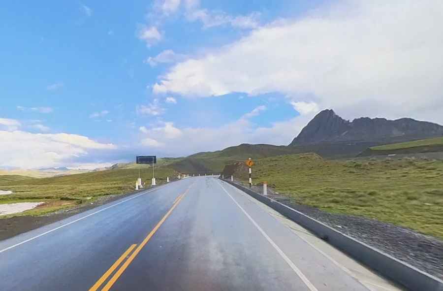
Yes, the Route 20A has been fully paved since the early 2020s, but the smooth asphalt can be a trap for the unwary. The surface is good, but the road is extremely winding and features long, steep sections that will make your engine struggle for air. Much of the 92-kilometer trip is shared with heavy mine trucks hauling ore from Alpamarca and other nearby sites. These trucks move slowly and take up a lot of space on the curves; passing them at nearly 4,800 meters requires a lot of patience and a clear safety margin, as your vehicle will lose about 45% of its torque in the thin air. Near the summit, the industrial traffic usually thins out, leaving you alone with the stunning alpine scenery and the thin, biting wind of the high pass.
How long is the road through Abra de la Viuda?
The entire journey covers 92 kilometers, running north-south from the town of Huayllay to Canta. It is a long, grueling trip that takes several hours due to the altitude and the constant gear changes. Before you set out, keep in mind that your brakes will take a beating on the descent toward Canta; the weight of the car will heat up your pads instantly if you don't use engine braking. Also, check your fuel and cooling system in Huayllay, as there are no services at the pass. A mechanical failure at the 4,711m summit is a serious situation where you’ll be exposed to sub-zero temperatures and oxygen levels that make even changing a tire a dangerous physical effort.