An exciting drive to the top of Abra Malaga Pass
Abra Malaga is a high mountain pass at an elevation of 4,343m (14,248ft) above sea level, located in the Cusco Region of Peru.
Where is Abra Malaga Pass?
The pass is located on the boundary between La Convención and Urubamba provinces, in the southern highlands of Peru,
How long is Abra Malaga Pass in Peru?
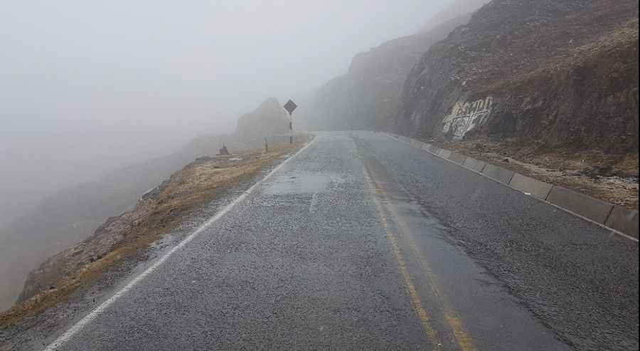
The road to the summit is entirely paved. It’s called Ruta 28B. The pass is 121 km (75 miles) long, running east-west from Ollantaytambo to Santa Maria. After the Inca town of Ollantaytambo, the paved road climbs via numerous hairpin bends, each offering a still more spectacular view of the Sacred Valley. On the eastern side of the summit, the road descends into an area of ‘neblina’ - a rugged area characterized by mist, puna grasses, and fens.
Is Abra Malaga Pass in Peru open?
Set high in the Andes, snow in autumn and winter blocks the entire road, making travel in those seasons dangerous, and there are many accidents caused by snow and ice.
How challenging is the road through Abra Malaga Pass?
With more than one hundred hairpin turns and steep sections, the curvy road is not easy. The road is very scenic, running through some of the most impressive landscapes in the country.
Pic: HEOL DU