How to drive the unpaved road to Laguna Canchiscocha in Peru?
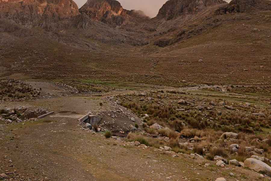
The road to Laguna Canchiscocha, Laguna Fudococha, and Laguna Tayacocha is a high-altitude mountain track in the Yungay Province of Peru. Reaching an elevation of 4,561m (14,963ft), this route crosses the rugged Cordillera Negra range through one of the most isolated sectors of the Ancash Region.
| Road facts: Cordillera Negra Lagoons | |
|---|---|
| Location | Yungay, Ancash (Peru) |
| Max Elevation | 4,561 m (14,963 ft) |
| Length | 8.9 km (5.5 miles) from Abra Tsactsapunta |
| Surface | Unpaved / Broken rock |
How long is the road to the Cordillera Negra lagoons?
The track starts at Abra Tsactsapunta (4,472m) and runs for 8.9 km until it reaches the dead-end at 4,561m near Laguna Canchiscocha. It is a slow, technical drive where the tires must negotiate sharp, loose stones and deep ruts. The road follows the natural contour of the mountainside with narrow passages and unprotected drops into the Huaylas Valley.
Is the road to Laguna Canchiscocha unpaved?
The surface is entirely unpaved and consists of broken shale and volcanic debris. A high-clearance 4x4 is strictly mandatory; standard SUVs risk hitting the underbody on the sharp transitions and protruding rocks. Near the end of the 8.9 km stretch, the road features several tight hairpins where the lack of guardrails makes reversing maneuvers extremely dangerous. The ground is often unstable, with shoulders that can crumble under the weight of a heavy vehicle.
What are the driving hazards at 4,500 meters?
The extreme altitude is the primary hazard for the vehicle's mechanics. At over 4,500 meters, engines lose more than 40% of their power, and cooling systems struggle to prevent overheating in low gears. Thick fog is a constant in the Cordillera Negra, often reducing visibility to less than three meters and making it impossible to see the edge of the road. There is no cell service, no fuel, and no passing traffic, requiring total self-sufficiency and the use of engine braking for the entire descent.
When is the best time to drive to the lagoons?
The route is best attempted during the dry season (May to September). During the rainy season, the unpaved surface turns into a slick mud bog, and the 4,561m elevation means that rain often turns into heavy snow or hail. The hairpins become impassable due to the lack of traction on the loose, wet stones. It is critical to carry at least one full-size spare tire and a basic recovery kit, as mechanical assistance is non-existent in this remote sector of the Ancash Region.