Is the unpaved road to Abra Mañazo in Peru difficult to drive?
Abra Mañazo is a high mountain pass at an elevation of 4,518m (14,822ft) above sea level, located in the Puno Province of southern Peru. This remote Andean route offers a high-altitude adventure through one of the most desolate landscapes in the region.
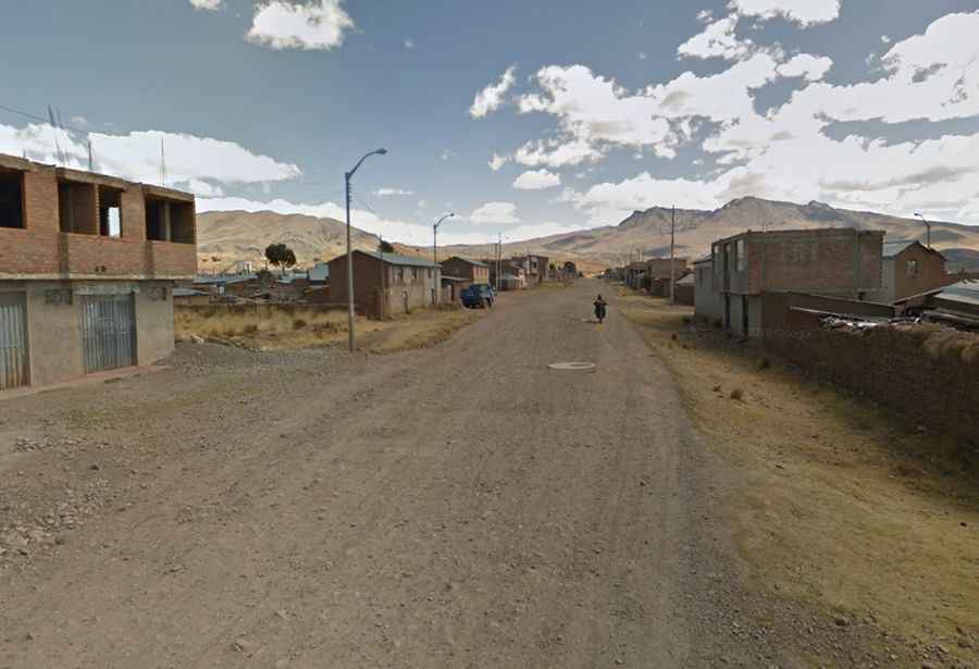
Set high in the southeastern part of the country, the road is situated in a wide-open plateau surrounded by rocky peaks. While the maps might label sections of this route with ambitious names like "Panamericana," the reality is a raw mountain track. The drive is a journey through the heart of the Altiplano, where you are more likely to encounter herds of alpacas than other vehicles.
| Road facts: Abra Mañazo | |
|---|---|
| Location | Puno Province, Peru |
| Elevation | 4,518m (14,822ft) |
| Length | 55.2 km (34.29 miles) |
| Average Gradient | 2% |
| Surface | Unpaved / Gravel |
How challenging is the road to Abra Mañazo?
The road to the summit is totally unpaved and requires a high-clearance, 4WD vehicle. While the average gradient is relatively gentle at around 2%, the surface is rough and can deteriorate quickly due to weather. The most dangerous aspect of the drive is the significant drop-offs along the cliffside sections; the track is narrow, and there are no safety barriers between your tires and the deep ravines. Extreme caution is required, especially during the rainy season when the gravel can become dangerously slippery.
What can you see along the Abra Mañazo pass?
The journey spans 55.2 km (34.29 miles), running east-west from the town of Mañazo to the junction with the 34C road. Despite the challenging terrain, the drive offers breathtaking sweeping views of the Andes. Along the route, you will pass Laguna La Calzada and Laguna Maquera, two high-altitude lakes that host a surprising variety of birdlife. It is a quiet, desolate drive that captures the true essence of the Peruvian highlands, but it is definitely not for those with a fear of heights.