How to drive the unpaved road to Abra Mañazo in Peru?
Abra Mañazo is a high mountain pass at an elevation of 4,518 meters (14,822 ft) above sea level located in Puno Province, in southern Peru. The 55.2-kilometer dirt track connects the town of Mañazo with the Ruta Nacional 34C junction across high-altitude lake basins.
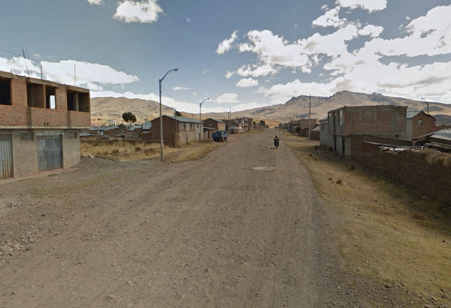
| Road facts: Abra Mañazo | |
|---|---|
| Location | Puno Province, Puno Department (Peru) |
| Elevation | 4,518 m (14,822 ft) |
| Length | 55.2 km (34.29 miles) from Mañazo to Ruta 34C |
| Average Gradient | ~2% |
| Surface | Unpaved gravel, dirt, and coarse rock track |
| Vehicle Requirement | High-clearance 4WD required |
| Hazards | Extreme engine power loss, open ravines without guardrails, slick mud in rainy season |
Where is Abra Mañazo located?
The pass is situated in the Andes of southern Peru, west of Lake Titicaca. The 55.2-kilometer unpaved road runs east-west from the town of Mañazo, passing Laguna La Calzada and Laguna Maquera before joining the 34C highway.
Is the road to Abra Mañazo paved?
No. The entire 55.2-kilometer route is completely unpaved, consisting of raw dirt, loose gravel, and rocks. The track is narrow, with no safety barriers along the cliff sections above the ravines.
How long is the drive over Abra Mañazo?
The route covers 55.2 kilometers (34.29 miles). Driving across the rough dirt and thin air at 4,518 meters takes roughly 1.5 to 2 hours in a 4WD vehicle.
What are the hazards on the Abra Mañazo pass?
The thin air at 4,518 meters causes severe engine power loss, making low-power cars choke. There are no guardrails along the narrow drop-offs, and heavy rains between December and March turn the dirt track into slick mud that will trap 2WD vehicles.