How to drive the cobbled road to Laguna Zorrocucho?
Laguna Zorrocucho is a high mountain lagoon at an elevation of 3.168m (10,393ft) above sea level, located in Azuay province, in Ecuador.
Where is Laguna Zorrocucho?
The lagoon, also known as Laguna Llaviucu, is located in the southern part of the country, within the Cajas National Park in the highlands of Ecuador.
Is the road to Laguna Zorrocucho unpaved?
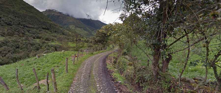
The road to the lake is totally cobbled, with naturally rounded stones, typically gathered from riverbeds. These stones, called cobblestones, are set by hand into sand or mortar to create a durable, albeit bumpy and uneven, driving surface. For a driver, clocking miles over these stones is a real nightmare. The entire car vibrates, the undercarriage takes a beating, and if the stones are wet from rain or mist, they become slick, causing the wheels to spin out easily on steep gradients.
How long is the road to Laguna Zorrocucho?
Starting from the paved E582, the road to the summit is 2.9 km long. Over this distance, the elevation gain is 127 m and the average gradient is 4.37%.
What’s the weather like on the road to Laguna Zorrocucho?
Located in southern Ecuador’s Andes mountains, it rains most habitually in the area in the afternoons.