Discover Ecuador's 748-Kilometer Ruta Spondylus
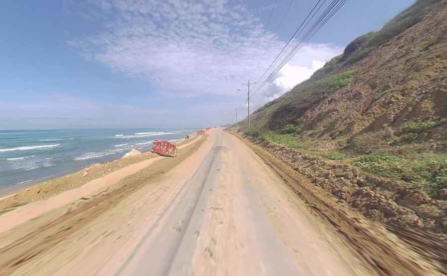
The Ruta Spondylus is a long coastal road located on the Pacific shoreline of Ecuador. Designated as State Road E15, the asphalt track follows the western coast to connect the northern Colombian border with the southern peninsula.
| Road facts: Ruta Spondylus (E15) | |
|---|---|
| Location | Esmeraldas, Manabí, and Santa Elena provinces (Ecuador) |
| Length | 748 km (464 miles) |
| Surface | Paved (Asphalt) |
| Termini | Mataje to Salinas |
Where does the Ruta Spondylus start and end?
The E15 road is 748 kilometers long. The northern start is at Mataje, a border settlement next to Colombia in the Esmeraldas province. From this point, the two-lane asphalt runs south across plains and coastal hills until it ends at Salinas, on the western tip of the Santa Elena peninsula.
What terrain features border the E15 highway?
The road crosses different coastal environments. The northern sections run next to the tropical mangroves of San Lorenzo canton. Further south, the asphalt passes through dry scrub, areas with cactus, and the low mountain hills of the Machalilla National Park in the Manabí province.
What are the driving hazards on the Ruta Spondylus?
The road is paved but has broken patches and worn asphalt near the fishing ports. The route has a high volume of heavy cargo trucks, local passenger buses, and slow agricultural machinery. The topography changes from flat plains to narrow cliff curves directly above the ocean.
How does the rainy season affect the E15 road?
Heavy tropical rains fall from December to May. Mud and rocks slide down the coastal hillsides and block the driving lanes. The water overflows the side ditches and covers the asphalt near the river mouths, damaging the pavement edges.
Where are the traffic bottlenecks located on the route?
Traffic is heavy between the northern border posts and the ports of Santa Elena. The road passes through the center of fishing villages and beach towns. Drivers face sudden slow-downs due to local pedestrians, unmarked speed bumps on the asphalt, and trucks entering from farming valleys.
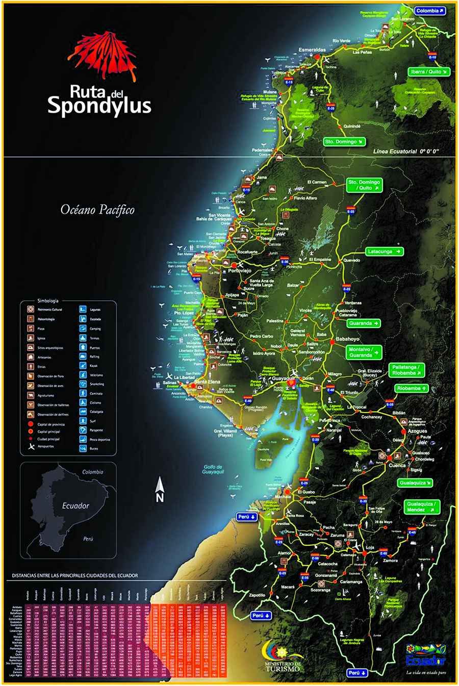
Map: https://ec.viajandox.com/uploads/mapa_ruta_spundylus.pdf