What are the highest roads of Ecuador?
Located on the northwestern coast of South America, bordered by Peru to the south and east, Colombia to the north and by the Pacific Ocean to the west, Ecuador is one of the smaller countries in South America. Roughly the size of the state of Colorado, Ecuador's geography is remarkably diverse, encompassing a wide range of natural formations and climates from the desert-like southern coast and the Amazon Basin plains to the snowcapped peaks of the Andes mountain range. The equator runs directly through the northern portion of the country.
This incredible diversity is highlighted by the central spine of the Andes—often called the 'Avenue of Volcanoes'—where roads must conquer extreme altitudes, leading drivers across some of the continent's most spectacular and geographically significant mountain passes.
Highest roads of Ecuador
| Road | Elevation | Province | Surface |
|---|---|---|---|
| Refugio Edward Whymper | 4.855m (15,928ft) | Chimborazo | Unpaved |
| Refugio José Rivas | 4.639m (15,219ft) | Pichincha | Unpaved |
| Refugio Guagua Pichincha | 4.557m (14,950ft) | Pichincha | Unpaved |
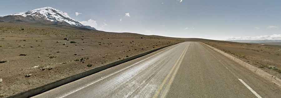
| Abra El Arenal | 4.407m (14,458ft) | Chimborazo | Paved |
| Pico de las Antenas | 4,350m (14,271ft) | Pichincha/Napo | |
| Alto de Salinas | 4.344m (14,251ft) | Bolívar | Unpaved |
| Volcan Corazon | 4.306m (14,127ft) | Pichincha | Unpaved |
| Loma de las Antenas | 4.218m (13,838ft) | Pichincha | Unpaved |
| Tres Cruces | 4.161m (13,651ft) | Azuay | Paved |
| Cerro Atacazo | 4.155m (13,631ft) | Pichincha | Unpaved |