How to get by car to Cerro Machin Volcano?
Cerro Machín is a stratovolcano at an elevation of 2,650m (8,694ft) above sea level, located in Tolima Department of Colombia.
Is Cerro Machin Volcano dangerous?
Located in the western part of the country, Cerro Machin is currently asleep but could wake up in a huge explosion, as in the past. Volcanic activity at Machin volcano has increased since 1998; small earthquakes and fumaroles are becoming more numerous. It has shown some significant activity recently, and although there are no historic eruptions, Machin is considered one of the most dangerous volcanoes in Colombia because it has produced devastating explosive eruptions in its past and is likely to continue doing so.
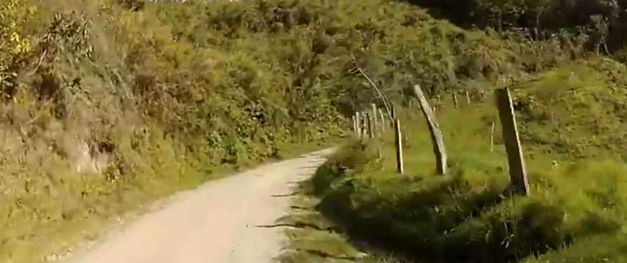
Is the road to Cerro Machin Volcano unpaved?
The road to the summit is entirely unpaved and climbs steeply to around 2,800 meters, hugging the volcano. It’s called Ruta Toche – Salento. 4x4 vehicles only. The surface on this gravel road is often loose, especially along the sides. The road is narrow and steep in parts.
Is the road to Cerro Machin Volcano worth the drive?
The drive offers stunning views. Thanks to the underground activity of the volcano, there is a (very basic) thermal bath right along the side of the road, in a curve, after you’ve passed the summit.
Pic&video: Jorge Hernan Arcila Aristizabal