How to get by car to Nevado del Ruiz in Colombia?
Nevado del Ruiz is a glaciated stratovolcano with a conical shape, standing at an elevation of 5,321m (17,457ft) above sea level, located in Colombia. A sudden drop in temperature, even in summer, can trigger winter-like conditions. The drive to approach the volcano is said to be the highest road in the country.
Where is Nevado del Ruiz volcano?
The volcano, also known as La Mesa de Herveo or Kumanday, is located on the boundary between the departments of Caldas and Tolima, in the western part of the country.
Why is Nevado del Ruiz famous?
It is one of the most active volcanoes in the Americas. In 1985, an eruption killed almost 25,000 people in the town of Armero, marking one of the worst volcanic disasters in history. The weather around the volcano is very nasty for most of the year.
Can I drive to Nevado del Ruiz?
Set high in Los Nevados National Natural Park, the road to approach the volcano (Nevado means “snow-covered” in Spanish) is often closed due to the eruption danger.
How long is the road to Nevado del Ruiz?
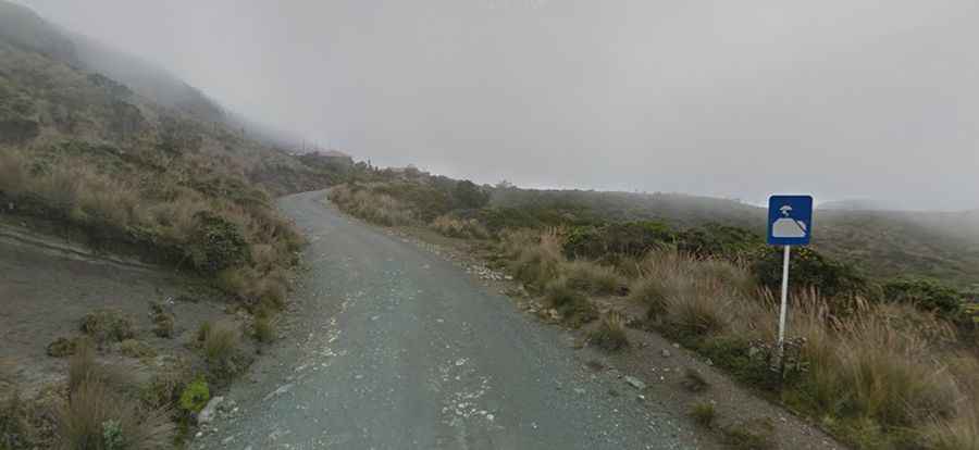
Starting from Carretera 50, the ascent is 18.6 km (11.55 miles) long. It starts paved and gets progressively worse. At Parador Turístico La Esperanza (4,117m), there’s a barrier, which can be closed anytime if there’s some volcano risk. At this point are parkings, services, bars, etc. Beyond this point, the road is totally unpaved, and a 4x4 with a high clearance vehicle is recommended. The road ends at El Refugio hut, at 4,804m (15,761ft) above sea level, where the hike to the summit begins.