How to drive the unpaved road to Guallatiri Volcano?
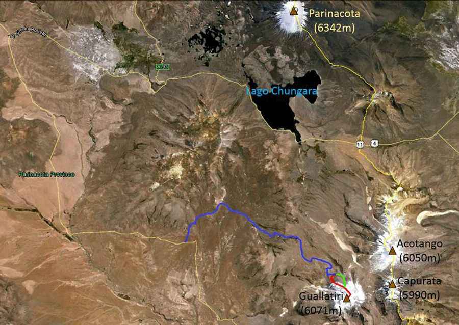
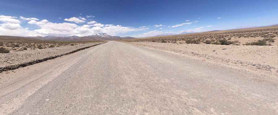
Guallatiri is a stratovolcano located in the Putre commune of Chile. An unpaved road on its northern side climbs up to an elevation of 5.240m (17,191ft) above sea level. The drive requires a 4WD vehicle with high clearance. It’s one of the highest roads in the country.
Where is Guallatiri Volcano?
The volcano is located in the Arica and Parinacota Region, the northernmost region of Chile, near the Bolivian border. It has erupted at least four times since 1825, most recently in 1985.
Is the road to Guallatiri Volcano unpaved?
Located within the Chilean Lauca National Park, near the Bolivian border, the road to the volcano, also known as Wallatiri, Huallatire, Guallatire and Punata, is entirely unpaved. A 4x4 vehicle with high clearance is required. This is definitely not a Sunday drive.
How long is the road to Guallatiri Volcano?
Starting from Churiguaya, the road is 17.1 km (10.62 miles). Over this distance, the elevation gain is 1007 m. The average gradient is 5.88%. Stay alert for potential turnouts, as you may encounter traffic in inconvenient locations.
Map: http://ai.stanford.edu/~latombe/mountain/photo/chile-2015/guallatiri-2015.htmPic: Carlos Javier Silva Currieco