Cerro Camellos: Driving the high-altitude 4x4 track in Tarapacá
Cerro Camellos is a high mountain peak reaching an elevation of 4,431 meters (14,537 ft) above sea level in the Tarapacá Region of northern Chile. Located in the Atacama Desert, the unpaved track branches off Ruta A-687 and accesses the high-altitude volcanic landscape of the Andes.
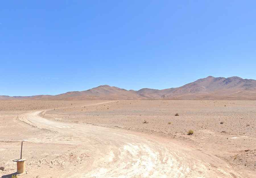
| Road facts: Cerro Camellos | |
|---|---|
| Location | Tarapacá Region (Chile) |
| Elevation | 4,431 m (14,537 ft) |
| Length | 8.7 km (5.4 miles) from Ruta A-687 |
| Elevation Gain | ~700 vertical meters (2,296 ft) |
| Average Gradient | 8.01% |
| Surface | Unpaved caliche dust, loose volcanic rock, and sand |
| Vehicle Requirement | High-clearance 4WD mandatory |
Where is the road to Cerro Camellos located?
The road ascends the high desert terrain of the Tarapacá Region in northern Chile. The track leaves the paved A-687 road and climbs east up the flanks of the mountain to the summit at 4,431 meters.
Is the road to Cerro Camellos unpaved?
Yes. The entire 8.7-kilometer track is unpaved, consisting of fine white caliche dust, loose volcanic gravel, and uncompacted rock. Driving requires a high-clearance 4x4 with low-range gearing to maintain traction in soft dust beds and prevent undercarriage damage on embedded rocks.
How steep is the road to Cerro Camellos?
The 8.7-kilometer climb gains nearly 700 vertical meters from the A-687 junction to the peak. The route maintains a sustained average gradient of 8.01%, featuring narrow shelf-road sections without guardrails or protective side barriers.
What hazards exist when driving Cerro Camellos?
The main physical hazards are severe oxygen depletion at 4,431 meters that reduces engine torque, unshielded drops along narrow track stretches, and loss of tire traction on loose caliche dust. Occasional rain events dissolve the dusty surface into slick mud ramps.