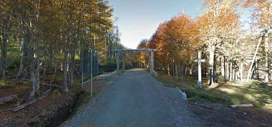
Carirriñe Pass is a scenic, lesser-traveled mountain pass between Chile and Argentina
Paso Carirriñe is an international high mountain pass at an elevation of 1.150m (3,772ft) above sea level, located on the border of Chile and Argentina. The road is less used but very beautiful.
Where is Carirriñe Pass?
It is one of the many minor passes between Chile and Argentina. The pass links the southern Chilean region of Los Ríos and the northwestern part of Patagonia in Argentina.
How long is Carirriñe Pass?
The pass is 133 km (82.64 miles) long, running from Coñaripe (a Chilean town on the shore of Calafquén Lake in the Valdivia Province) to San Martín de los Andes (in Argentina). The road is surrounded by a spectacular natural landscape, where you will be able to observe different signs of volcanic activity like hot springs, a solidified lava river.
Is Carirriñe Pass open?
Set high in the Andes mountain range, it opens for the summer on 15th November from 08:00 to 20:00 hrs. The pass may be closed most of the year due to snowfalls, minor landslides and rehabilitation.
Can you drive through Carirriñe Pass?
On the Chilean side, the road to the pass is called Ruta CH-201. It’s mostly paved and very narrow. The last 15km are on gravel but there are plans to asphalt it. On the Argentinian side the road is called Ruta Provincial 62. It is a forest road, unpaved and very bumpy. On this side is extremely narrow. You usually get a few rough patches but nothing really bad. The road has not had work on it in a while and is pretty rough in places. It’s difficult to do it in an ordinary car. Even if this pass is greatly affected by weather changes, especially in winter, and the road is not in very good driving conditions, local residents go through it quite often, usually in 4WD vehicles.