Road trip guide: Conquering Planchon Pass in the Andes
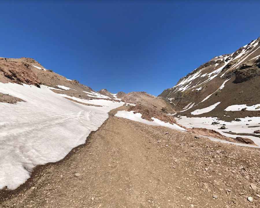
Paso del Planchón is an international high mountain pass at an elevation of 2.515m (8,251ft) above sea level, located on the border of Argentina and Chile.
Is Planchon Pass in the Andes unpaved?
Set high in the Andes mountain range, the road to the summit, also known as Paso Internacional Vergara, is totally unpaved, with sandy sections. On the Argentinian side, the road is called Ruta Provincial 226 and on the Chilean side it’s called J-55.
How long is Planchon Pass in the Andes?
The pass is 196 km (121 miles) long running from Las Loicas (in the Mendoza Province of Argentina) to Curicó (in central Chile's Maule Region).
Is Planchon Pass in the Andes open?
During a large part of the year this route is not in a condition to be traveled, but during the summer period it is repaired to be used by tourists and some companies in the mining area. The pass is temporarily enabled from November 1 to April 30 of each year. The air dryness and the oscillation of temperatures that takes place during the day and night is one of the features of this area. Day is warm by direct sun and nights are extremely cold. It reaches an extreme temperature of 15° in summer and -25° in winter.
Pic: Miguel Celis