How Can I Get by Car to Salar de Maricunga in the Atacama Region?
Salar de Maricunga is a dazzling white salt flat at an elevation of 3,700m (12,139ft) above sea level, located in the Atacama Region of Chile.
Where is Salar de Maricunga?
The salt flat is located in the Nevado Tres Cruces National Park, in the eastern part of the country. The air dryness and the oscillation of temperatures that takes place during the day and night are one of the features of this area. Days are warm due to direct sun, and nights are extremely cold.
Why is Salar de Maricunga famous?
The Salar de Maricunga is a high-altitude salt flat known for its stark beauty and significant, largely untapped lithium reserves. Located in an endorheic basin within a volcanic belt, it's the southernmost of Chile's large salt flats and a visually striking tourist destination. While holding considerable economic potential for lithium extraction, these plans face environmental concerns and the need to respect the ancestral lands of indigenous communities.
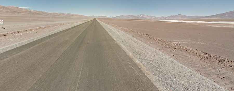
How long is the road to Salar de Maricunga?
The road to the salt flat includes paved (at both ends) and unpaved (in the middle) parts, so care is required. It’s called Ruta 31-CH. It’s a 280 km (173 miles) long gravel road, running from the municipality of Copiapó to Paso San Francisco, on the Argentinian border. It is usually drivable with a 2wd vehicle.