Sico Pass is a scenic border pass in the Andes
Paso de Sico is an international high mountain pass at an elevation of 4.092m (13,425ft) abovee sea level, located on the border of Chile and Argentina.
Where is Sico Pass?
The pass links the Antofagasta Region of northeastern Chile with the Salta Province, in northwestern Argentina.
How long is Sico Pass?
Set high on an arid high plateau in the Andes mountains, the pass is 337 km (209 miles) long, running from San Pedro de Atacama (a town in El Loa Province of Chile) to San Antonio de los Cobres (a small town in Los Andes Department of Argentina).
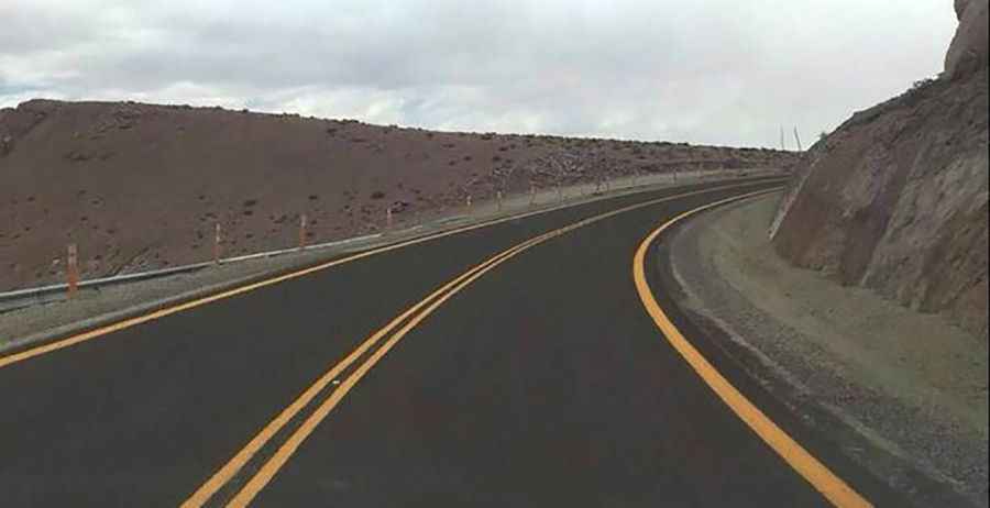
Is Sico Pass paved?
The pass is traversed by Chile Route 23, a newly paved road (in 2018) and Argentina Route 51, a challenging unpaved road. There are plans to build a new paved road in Argentina.
Is Sico Pass open?
In summer, the extreme temperatures are 23 degrees Celsius, and -12 in winters, prevailing cold and dry weather. The pass is open year round. Weather will be the biggest concern, with the road reaching heights of over 15,000 feet, it can get quite cold and dangerously windy.
Road suggested by: Jorge Manuel Gómez Sánchez
Pic&more info: https://www.eltribuno.com/salta/nota/2018-3-6-0-0-0-chile-inauguro-el-pavimento-de-la-ruta-hasta-el-paso-de-sico