Driving the international San Francisco Pass in the Andes
Paso de San Francisco is an international high mountain pass at an elevation of 4.760m (15,616ft) above sea level, located on the border of Argentina and Chile. It's one of the highest roads of the country.
Where is San Francisco Pass?
Set high at the heart of the Andes cordillera, the pass links the Argentinian province of Catamarca with the Atacama Region of Chile. This is one of the most important passes of the Andes mountains connecting both countries. The area is surrounded by volcanoes, high peaks, salt flats and lagoons.
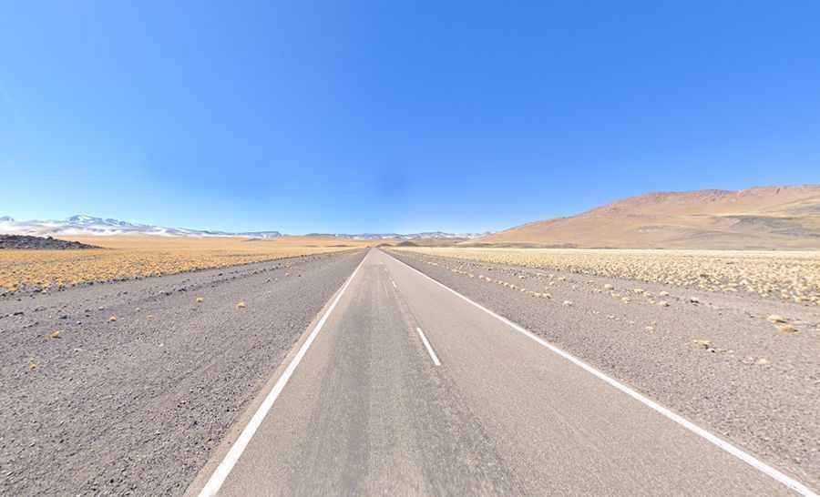
Can you drive through San Francisco Pass?
On the Argentinian side, the road is totally paved. It’s called Route N 60 (RN60). Starting from Fiambala, the road to the pass is 201 km (124.89 mile) long. It’s pretty steep and winding. Located to the west of Catamarca, the road joins several Argentinean towns. On the Chilean side, the road to the pass was totally paved in 2019. It’s called Route CH-31. Starting from Copiapó, the road to the pass is 280 km (173.98 mile) long. On the way to the summit, the road passes next to Maricunga's salt flat on the Nevado Tres Cruces National Park and Laguna Verde.