Driving Ruta Y-905, the southernmost road in the world
Located on Navarino Island in the Magallanes Region of Chile, Ruta Y-905 is the world's southernmost public road. Often referred to as La Última Ruta ("The Last Route"), driving it is a true adventure.
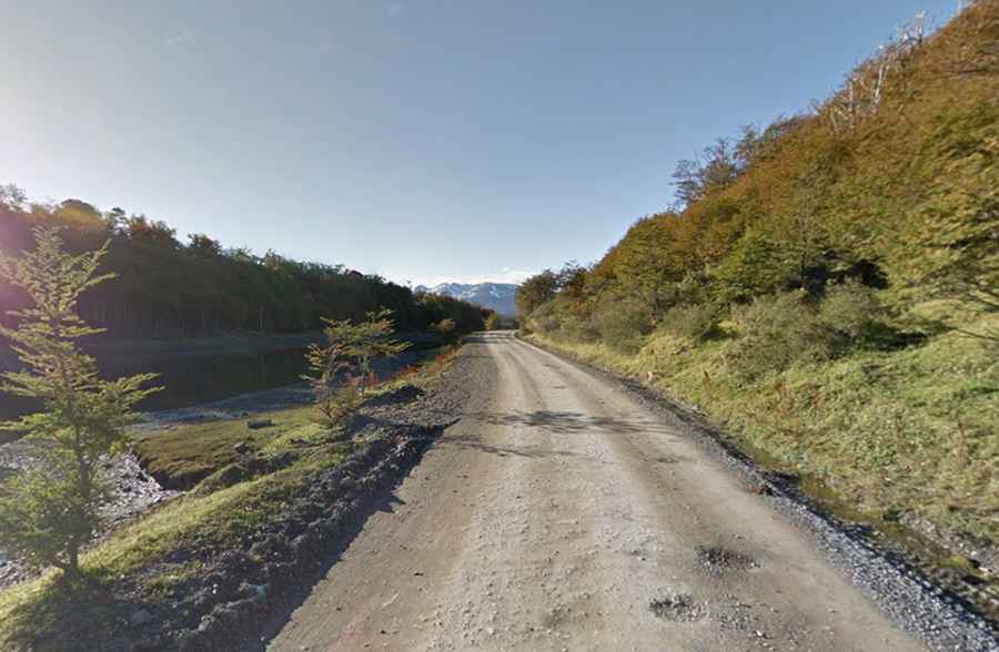
Where is Ruta Y-905?
The road is located barely 1,000 km north of Antarctica, running along the southern shore of the Beagle Channel in the Chilean part of the Tierra del Fuego archipelago. Along most of the route, there is no mobile phone signal.
Is Ruta Y-905 unpaved?
The road is mostly unpaved, featuring a rough gravel surface with frequent potholes, although there are a few short paved sections around Puerto Williams. A high-clearance vehicle is required, and the route includes a narrow wooden bridge that can be unnerving for some drivers.
How long is Ruta Y-905?
The road is 77 km long, running west to east from Puerto Navarino to Caleta Eugenia, a remote outpost managed by the Chilean Navy located just beyond Puerto Williams.
What’s the weather like on Ruta Y-905?
The weather is extreme and highly unpredictable; within minutes, driving conditions can shift from dry gravel to snow or rain. Strong winds are constant, and the cold is intense.
Is Ruta Y-905 worth the drive?
Due to its remote location, the road is exceptionally scenic, offering stunning coastal views. Along its entire length, the route rewards drivers with breathtaking vistas of pristine, untouched landscapes. The route is framed by the Beagle Channel on one side and the jagged peaks of the Dientes de Navarino mountain range on the other.