How to Get by Car to Taapaca Volcano on the Chilean Highlands?
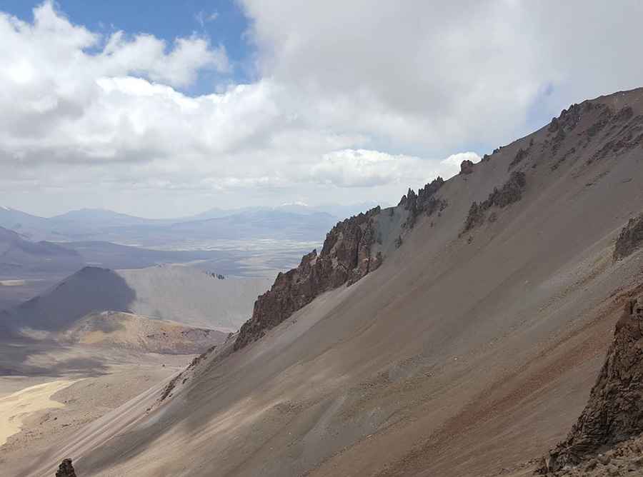
Volcán Taapacá is a stratovolcano located in the Parinacota Province of Chile. North of the summit, a mining road climbs up to 5,450m (17,880ft) above sea level. It’s one of the highest roads in the country.
Where is Taapaca Volcano?
The volcano, also known as Nevados de Putre, is located in the Arica and Parinacota Region, in the northern part of the country, within the Parque Nacional Lauca.
Is Taapaca Volcano Still Active?
Composed of an andesitic stratovolcano and a dacitic lava-dome complex, formed over at least 1.5 million years, Taapaca is a geologically complex and historically active volcano featuring high peaks, lava domes, and periodic collapses. Its proximity to communities and infrastructure makes vigilant monitoring essential. Despite being dormant for thousands of years, its eruptive history suggests the potential for future activity.
Why is There a Road Near the Summit of Taapaca Volcano?
Part of the Central Volcanic Zone of the Andes, sulfur deposits were mined in the summit region, which led to the construction of a mining road that ends near the northern part of the summit, without reaching it entirely.
How Long is the Road to Taapaca Volcano?
Situated on the highlands, the road to the deposits is totally unpaved, mainly sand. A 4x4 vehicle is required. It comprises narrow parts and many hairpin turns. Starting from Chacapalla, the road is about 20km (12 miles) long.
Road suggested by: Hugh Wilson
Pic: Nicolás Ramírez