A Wild Mining Road to Tatio Volcano in the Atacama Desert
Volcán Tatio is a dormant stratovolcano located in the Atacama Desert of Chile. North of the summit, a mining road climbs up to 5,184m (17,007ft) above sea level. It’s one of the highest roads in the country.
Where is Tatio Volcano?
The volcano is located west of Tocorpuri Volcano, in El Loa Province, in Chile's northern Antofagasta Region, near the Bolivian border. This volcano is easy to recognize since on its eastern side lies Cerro La Torta (a rhyolitic lava dome), which corresponds to ancient eruptions of the Tocorpuri volcanic complex.
Why is it Called Tatio Volcano?
Its name comes from its proximity to a geothermal field known as Tatio. This name comes from the Kunza language, meaning “the grandfather who cries”, referring to the steam plumes of the geysers that resemble someone weeping.
Is Tatio Volcano Still Active?
Situated in the Andes Mountains and part of the Tocorpuri volcanic complex, the volcano is considered dormant. However, there's still geothermal activity nearby, which might be linked to the famous El Tatio geothermal field.
Why is There a Road Near the Summit of Tatio Volcano?
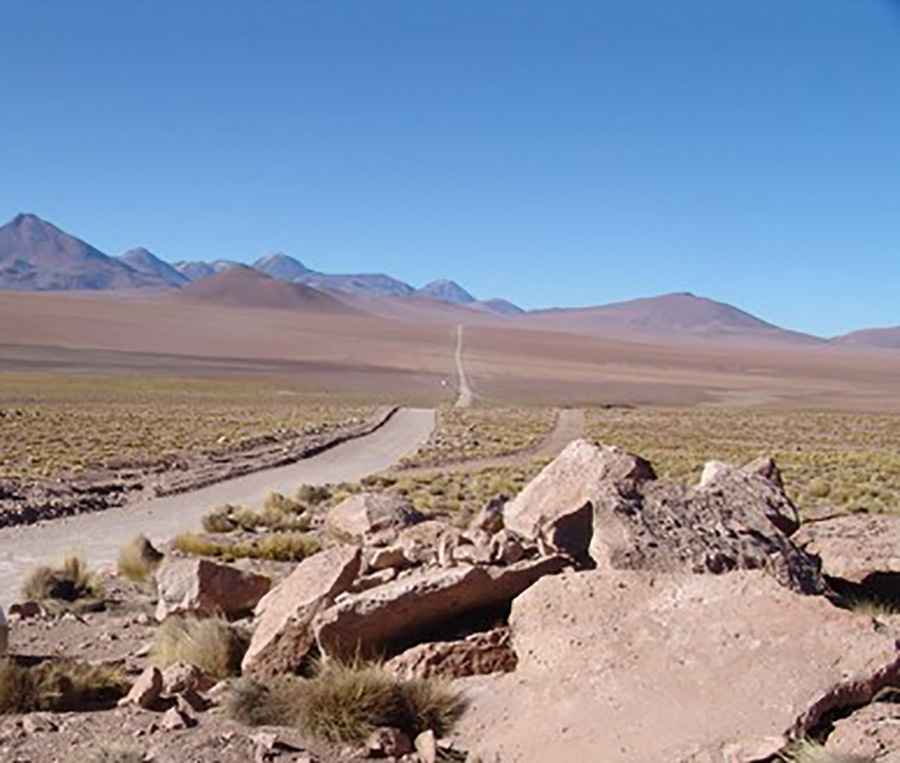
Sulfur deposits were mined in the summit region, which led to the construction of a mining road that ends near the northern part of the summit, without reaching it entirely.
How Long is the Road to Tatio Volcano?
Running through geysers and fumaroles, the road to the deposits is totally unpaved, mainly sand. A 4x4 vehicle is required. It comprises narrow parts and many hairpin turns. Starting from the scenic B-245 road, the drive is 17.5 km (10.87 miles) long. Over this distance, the elevation gain is 802 m and the average gradient is 4.58%.
Road suggested by: Hugh Wilson
Pic: Leon Petrosyan