The Ultimate Guide to Conquering Cerro Tecar
Cerro Tecar is a high mountain peak at an elevation of 5.088m (16,692ft) above the sea level, located in the Antofagasta region, in northern Chile’s Atacama Desert. It’s one of the highest roads of the country.
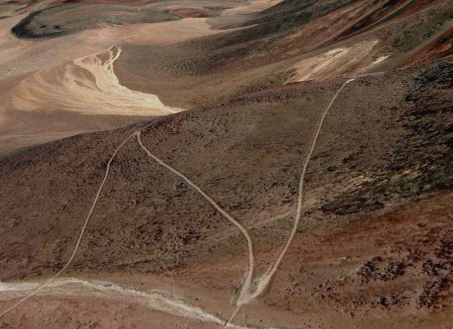
Set high near the Argentinian border, the road to the summit is very curvy and totally unpaved. It is very steep, hitting a 13% of maximum gradient through some of the ramps. Starting at Monturaqui, on Road B55, the ascent is 25.3 km (15.72 miles) long. Over this distance the elevation gain is 1.647 meters. The average gradient is 6.50%.