Serra da Rocinha: Driving the steep concrete hairpins of BR-285
Serra da Rocinha is a mountain pass at an elevation of 1,236m (4,055ft) above sea level, located on the boundary between the states of Santa Catarina and Rio Grande do Sul in southern Brazil. Part of the BR-285 federal highway, this section crosses the Serra Geral mountain range and serves as a vital logistical link between the interior plateaus and the Atlantic coast.
| Road facts: Serra da Rocinha (BR-285) | |
|---|---|
| Location | Timbé do Sul (SC) to São José dos Ausentes (RS) |
| Elevation | 1,236 m (4,055 ft) |
| Length | 57.5 km (35.7 miles) |
| Surface | Fully paved (Rigid concrete on steep sectors) |
Is the road to Serra da Rocinha paved?
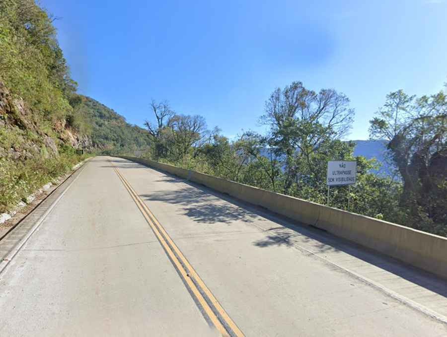
Yes, the long-standing gravel track of the BR-285 has been fully paved. Due to the extreme gradients and high humidity of the Serra Geral, engineers used rigid concrete pavement instead of asphalt for the steepest sections. This material provides better traction for heavy trucks and prevents the surface from deforming under the massive weight of industrial transport. The road is now a wide, modern highway, but it remains a technical drive due to the verticality of the escarpment.
How challenging are the hairpins of Serra da Rocinha?
The most technical part of the drive is the ascent from Timbé do Sul toward the plateau. The road features 14 tight hairpin turns carved into the rock face. As seen in recent images, these switchbacks are reinforced with concrete barriers and wide lanes to accommodate long-wheelbase vehicles. Despite the improvements, the sheer drop-offs and the constant sequence of blind corners require high focus, especially when sharing the road with oncoming heavy trailers that use the entire width of the lane to swing through the turns.
What are the hazards of the BR-285 mountain pass?
The primary hazard on the Serra da Rocinha is the frequent and thick mountain fog, known locally as "viração," which can reduce visibility to near zero in seconds. The road is often wet due to the coastal humidity, making the concrete surface slick. Landslides are a recurring issue; despite the stabilization of the slopes with steel nets and concrete walls, heavy tropical rains can still bring debris onto the driving lanes. There are no escape ramps on the steepest descents, so managing brake temperature is critical.
What mechanical prep is needed for the 1,236m climb?
The climb from the coast to the plateau is a relentless test of the vehicle's torque and cooling efficiency. Engines will run at high RPMs for extended periods, making it essential to verify the radiator and fluid levels before starting. On the descent, engine braking is mandatory for all vehicles. Relying on the brake pedal during the 1,236-meter drop will lead to thermal fade and total loss of stopping power. Trucks and buses must strictly adhere to low-gear protocols to prevent accidents on the concrete ramps.
Is Serra da Rocinha open year-round?
The road is designed to stay open year-round, but it is subject to temporary closures during extreme weather events or for ongoing maintenance on the slope stabilization systems. Before driving, it is necessary to check the schedule of the DNIT (National Department of Transport Infrastructure), as certain hours might be restricted for heavy machinery operations. The isolation of the mountain stretch means that mechanical assistance is far away, so carrying basic tools and ensuring the vehicle's electrical system is perfect for the fog lights is a priority.
Road suggested by: jorge manuel gómez sánchez